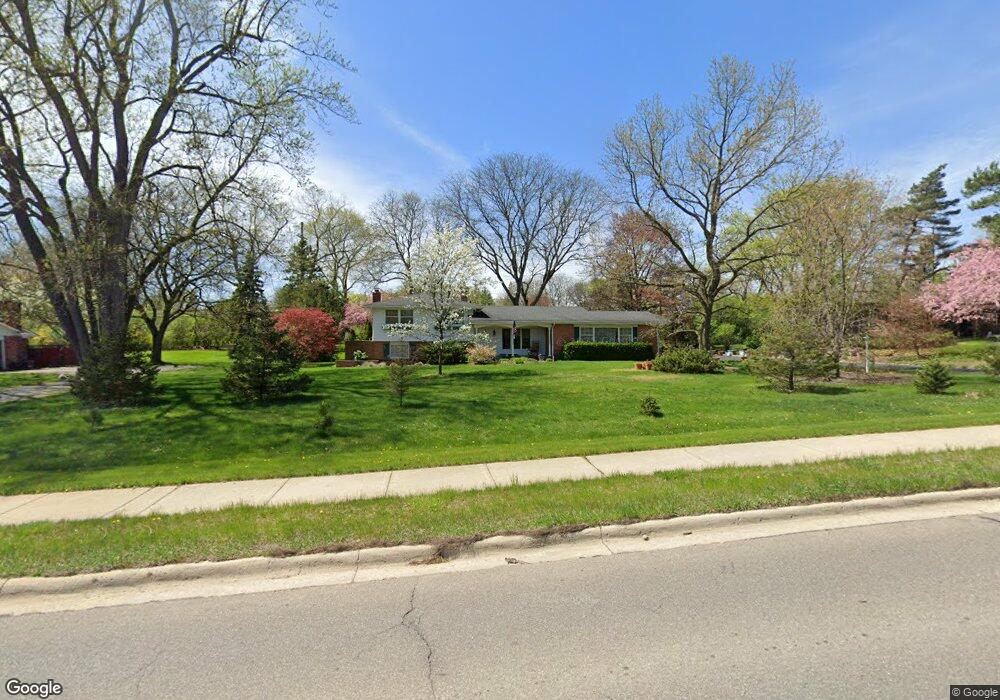
6783 N Adams Rd Bloomfield Hills, MI 48304
Estimated Value: $348,015 - $431,000
3
Beds
2
Baths
2,198
Sq Ft
$183/Sq Ft
Est. Value
About This Home
This home is located at 6783 N Adams Rd, Bloomfield Hills, MI 48304 and is currently estimated at $403,004, approximately $183 per square foot. 6783 N Adams Rd is a home located in Oakland County with nearby schools including R. Grant Graham Elementary School, Avondale Middle School, and Avondale High School.
Ownership History
Date
Name
Owned For
Owner Type
Purchase Details
Closed on
Nov 27, 2007
Sold by
Trupe Gary S and Trupe Kathleen
Bought by
Trupe Gary S and Trupe Kathleen
Current Estimated Value
Home Financials for this Owner
Home Financials are based on the most recent Mortgage that was taken out on this home.
Original Mortgage
$203,725
Outstanding Balance
$129,149
Interest Rate
6.33%
Mortgage Type
New Conventional
Estimated Equity
$273,855
Purchase Details
Closed on
Feb 22, 1999
Sold by
Borland Beth A
Bought by
Trupe Gary S
Home Financials for this Owner
Home Financials are based on the most recent Mortgage that was taken out on this home.
Original Mortgage
$91,000
Interest Rate
7.1%
Create a Home Valuation Report for This Property
The Home Valuation Report is an in-depth analysis detailing your home's value as well as a comparison with similar homes in the area
Home Values in the Area
Average Home Value in this Area
Purchase History
| Date | Buyer | Sale Price | Title Company |
|---|---|---|---|
| Trupe Gary S | -- | Title Source Inc | |
| Trupe Gary S | -- | -- |
Source: Public Records
Mortgage History
| Date | Status | Borrower | Loan Amount |
|---|---|---|---|
| Open | Trupe Gary S | $203,725 | |
| Previous Owner | Trupe Gary S | $91,000 |
Source: Public Records
Tax History Compared to Growth
Tax History
| Year | Tax Paid | Tax Assessment Tax Assessment Total Assessment is a certain percentage of the fair market value that is determined by local assessors to be the total taxable value of land and additions on the property. | Land | Improvement |
|---|---|---|---|---|
| 2024 | $1,443 | $113,620 | $0 | $0 |
| 2023 | $1,377 | $103,870 | $0 | $0 |
| 2022 | $2,566 | $103,350 | $0 | $0 |
| 2021 | $2,504 | $96,330 | $0 | $0 |
| 2020 | $1,262 | $91,670 | $0 | $0 |
| 2019 | $2,444 | $88,450 | $0 | $0 |
| 2018 | $2,399 | $84,730 | $0 | $0 |
| 2017 | $2,362 | $82,490 | $0 | $0 |
| 2016 | $2,358 | $81,570 | $0 | $0 |
| 2015 | -- | $71,910 | $0 | $0 |
| 2014 | -- | $65,570 | $0 | $0 |
| 2011 | -- | $65,550 | $0 | $0 |
Source: Public Records
Map
Nearby Homes
- 6965 N Adams Rd
- 1299 Winchcombe Dr
- 1470 Timberview Trail
- 1339 Knollcrest Cir
- 6950 Killarney Dr
- 1204 S Timberview Trail Unit E 23
- 1289 Greenglen Ct
- 1285 Greenglen Ct
- 1105 Ivyglen Cir
- 2456 Red Maple Dr
- 1926 Hickory Bark Ln
- 6678 Johnathon Dr
- 624 Slocum Dr
- 3443 Nichols Rd
- 1916 Squirrel Valley Dr
- 3397 Eastwood Dr
- 3077 Claret Ln
- 3221 Bessie St
- 3164 Bessie St
- 3052 Claret Ln
- 1643 Ledbury Dr
- 6809 N Adams Rd
- 6757 N Adams Rd
- 1627 Ledbury Dr
- 6835 N Adams Rd
- 6731 N Adams Rd
- 1611 Ledbury Dr
- 1644 Ledbury Dr
- 1630 Ledbury Dr
- 1675 Ledbury Dr
- 1664 Ledbury Dr
- 1614 Ledbury Dr
- 1585 Ashover Dr
- 1571 Ashover Dr
- 6861 N Adams Rd
- 1585 Ledbury Dr
- 1691 Ledbury Dr
- 1690 Ledbury Dr
- 1598 Ledbury Dr
- 1523 Ashover Dr