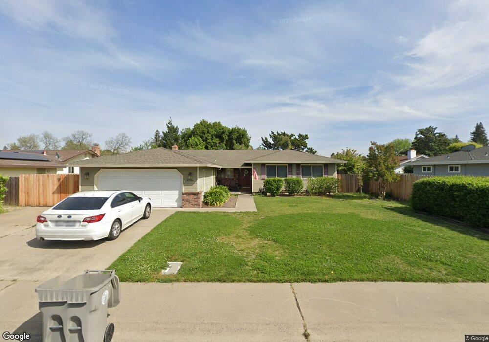
6784 Langston Way Sacramento, CA 95831
Pocket-Greenhaven NeighborhoodEstimated Value: $577,344 - $665,000
3
Beds
3
Baths
1,601
Sq Ft
$391/Sq Ft
Est. Value
About This Home
This home is located at 6784 Langston Way, Sacramento, CA 95831 and is currently estimated at $626,086, approximately $391 per square foot. 6784 Langston Way is a home located in Sacramento County with nearby schools including Genevieve Didion School, Sam Brannan Middle School, and John F. Kennedy High School.
Ownership History
Date
Name
Owned For
Owner Type
Purchase Details
Closed on
May 5, 2010
Sold by
Medich James P and Medich Cynthia L
Bought by
Medich James P
Current Estimated Value
Home Financials for this Owner
Home Financials are based on the most recent Mortgage that was taken out on this home.
Original Mortgage
$157,000
Interest Rate
5.04%
Mortgage Type
New Conventional
Create a Home Valuation Report for This Property
The Home Valuation Report is an in-depth analysis detailing your home's value as well as a comparison with similar homes in the area
Home Values in the Area
Average Home Value in this Area
Purchase History
| Date | Buyer | Sale Price | Title Company |
|---|---|---|---|
| Medich James P | -- | Lsi Title Company |
Source: Public Records
Mortgage History
| Date | Status | Borrower | Loan Amount |
|---|---|---|---|
| Closed | Medich James P | $157,000 |
Source: Public Records
Tax History Compared to Growth
Tax History
| Year | Tax Paid | Tax Assessment Tax Assessment Total Assessment is a certain percentage of the fair market value that is determined by local assessors to be the total taxable value of land and additions on the property. | Land | Improvement |
|---|---|---|---|---|
| 2025 | $2,896 | $221,364 | $60,915 | $160,449 |
| 2024 | $2,896 | $217,024 | $59,721 | $157,303 |
| 2023 | $2,822 | $212,769 | $58,550 | $154,219 |
| 2022 | $2,789 | $208,598 | $57,402 | $151,196 |
| 2021 | $2,657 | $204,509 | $56,277 | $148,232 |
| 2020 | $2,670 | $202,413 | $55,700 | $146,713 |
| 2019 | $2,615 | $198,445 | $54,608 | $143,837 |
| 2018 | $2,549 | $194,555 | $53,538 | $141,017 |
| 2017 | $2,511 | $190,741 | $52,489 | $138,252 |
| 2016 | $2,442 | $187,002 | $51,460 | $135,542 |
| 2015 | $2,402 | $184,195 | $50,688 | $133,507 |
| 2014 | $2,349 | $180,588 | $49,696 | $130,892 |
Source: Public Records
Map
Nearby Homes
- 0 Riverside Blvd
- 6980 Riverside Blvd
- 487 Twin River Way
- 10 Fleet Ct
- 7232 Bayview Way
- 26 Marina Grande Ct
- 7262 Harbor Light Way
- 14 Westlite Ct
- 763 La Contenta Way
- 462 de Mar Dr
- 792 Parklin Ave
- 6235 Allenport Way
- 22 Basil Ct
- 4 Bingham Cir
- 64 Moonlit Cir
- 37 Starlit Cir
- 4 Marina Blue Ct
- 4074 Southampton St
- 4057 Southampton St
- 3236 Boston Rd
- 6780 Langston Way
- 6850 Harmon Dr
- 6854 Harmon Dr
- 6776 Langston Way
- 6727 Orleans Way
- 6785 Langston Way
- 6789 Langston Way
- 6731 Orleans Way
- 6781 Langston Way
- 6858 Harmon Dr
- 6772 Langston Way
- 6793 Langston Way
- 6775 Langston Way
- 6860 Harmon Dr
- 6723 Orleans Way
- 6849 Harmon Dr
- 6841 Harmon Dr
- 6845 Harmon Dr
- 6853 Harmon Dr
- 6735 Orleans Way