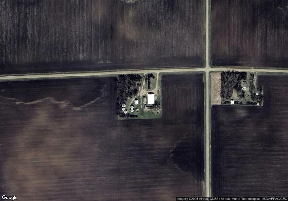
67879 410th St Butterfield, MN 56120
Estimated Value: $80,000 - $712,960
2
Beds
1
Bath
520
Sq Ft
$762/Sq Ft
Est. Value
About This Home
This home is located at 67879 410th St, Butterfield, MN 56120 and is currently estimated at $396,480, approximately $762 per square foot. 67879 410th St is a home located in Watonwan County with nearby schools including Armstrong School, Northside Elementary School, and St. James High School.
Create a Home Valuation Report for This Property
The Home Valuation Report is an in-depth analysis detailing your home's value as well as a comparison with similar homes in the area
Home Values in the Area
Average Home Value in this Area
Tax History Compared to Growth
Tax History
| Year | Tax Paid | Tax Assessment Tax Assessment Total Assessment is a certain percentage of the fair market value that is determined by local assessors to be the total taxable value of land and additions on the property. | Land | Improvement |
|---|---|---|---|---|
| 2025 | $3,796 | $980,200 | $829,100 | $151,100 |
| 2024 | $3,600 | $1,073,900 | $916,100 | $157,800 |
| 2023 | $3,564 | $1,062,400 | $916,100 | $146,300 |
| 2022 | $3,412 | $847,800 | $722,500 | $125,300 |
| 2021 | $3,454 | $713,600 | $609,200 | $104,400 |
| 2020 | $3,442 | $749,300 | $645,000 | $104,300 |
| 2019 | $3,470 | $750,200 | $645,000 | $105,200 |
| 2018 | $3,254 | $704,500 | $605,900 | $98,600 |
| 2016 | $3,482 | $762,900 | $670,800 | $92,100 |
| 2014 | -- | $819,700 | $732,900 | $86,800 |
Source: Public Records
Map
Nearby Homes
- 204 204 N Second St
- 105 105 S 2nd St
- 0 Parcel Id# 05 510 0010 Unit 7037951
- 0 Parcel Id# 05 510 0020 Unit 7037952
- 0 Parcel Id Unit 5.510.0060 7037955
- 0 Parcel Id Unit 5.510.0050 7037954
- 0 Parcel Id Unit 5.510.0040 7037953
- 69193 380th St
- 69193 69193 380th St
- 0 Tbd S Third St Unit TBD Third St S
- 525 Elwell Ave
- 35726 710th Ave
- 74194 415th St
- 200 200 S 10th Ave
- 37204 737th Ave
- 914 914 S 3rd St
- 1023 Armstrong Blvd S
- 1007 5th St S
- 207 7th Ave S
- 1178 210th St