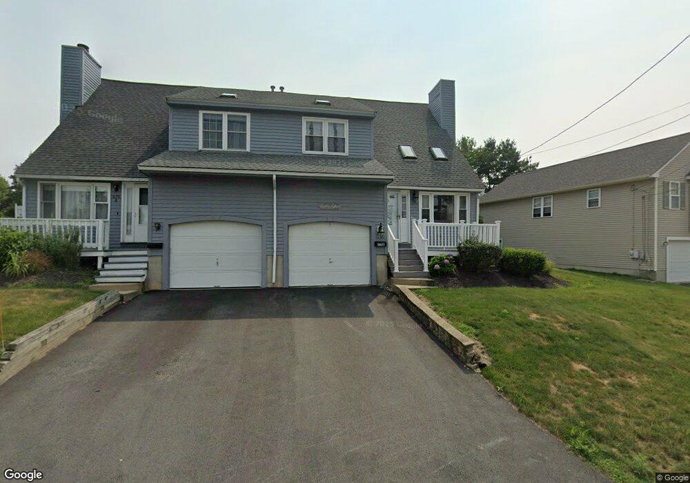
679 Burncoat St Worcester, MA 01606
Burncoat NeighborhoodEstimated Value: $429,000 - $449,000
2
Beds
2
Baths
1,300
Sq Ft
$335/Sq Ft
Est. Value
About This Home
This home is located at 679 Burncoat St, Worcester, MA 01606 and is currently estimated at $435,561, approximately $335 per square foot. 679 Burncoat St is a home located in Worcester County with nearby schools including Norrback Avenue Elementary School, Jacob Hiatt Magnet School, and Chandler Magnet.
Create a Home Valuation Report for This Property
The Home Valuation Report is an in-depth analysis detailing your home's value as well as a comparison with similar homes in the area
Home Values in the Area
Average Home Value in this Area
Tax History Compared to Growth
Tax History
| Year | Tax Paid | Tax Assessment Tax Assessment Total Assessment is a certain percentage of the fair market value that is determined by local assessors to be the total taxable value of land and additions on the property. | Land | Improvement |
|---|---|---|---|---|
| 2025 | $4,617 | $350,000 | $99,600 | $250,400 |
| 2024 | $4,478 | $325,700 | $99,600 | $226,100 |
| 2023 | $4,245 | $296,000 | $86,600 | $209,400 |
| 2022 | $3,815 | $250,800 | $69,300 | $181,500 |
| 2021 | $3,559 | $218,600 | $55,500 | $163,100 |
| 2020 | $3,487 | $205,100 | $55,500 | $149,600 |
| 2019 | $3,476 | $193,100 | $49,900 | $143,200 |
| 2018 | $3,485 | $184,300 | $49,900 | $134,400 |
| 2017 | $3,312 | $172,300 | $49,900 | $122,400 |
| 2016 | $3,234 | $156,900 | $37,200 | $119,700 |
Source: Public Records
Map
Nearby Homes
- 740 Burncoat St Unit B
- 59 Santoro Rd
- 1110 W Boylston St Unit A
- 1097 W Boylston St
- 83 Hillside Village Dr
- 97 Hillside Village Dr
- 156 Hillside Village Dr
- 602 Burncoat St
- 29 Isleboro St
- 33 Isleboro St
- 12 Dixfield Rd
- 12 Birchbrush Ln
- 33 Meola Ave
- 39 Meola Ave
- 31 Danielles Way
- 22 Danielles Way
- 26 Danielles Way
- 9 Idalla Ave
- 44 Dixfield St
- 3 Malden St