679 Shrum Cemetery Rd Westmoreland, TN 37186
Estimated Value: $272,000 - $438,000
--
Bed
2
Baths
2,688
Sq Ft
$123/Sq Ft
Est. Value
About This Home
This home is located at 679 Shrum Cemetery Rd, Westmoreland, TN 37186 and is currently estimated at $331,204, approximately $123 per square foot. 679 Shrum Cemetery Rd is a home located in Macon County with nearby schools including Lighthouse Academy.
Ownership History
Date
Name
Owned For
Owner Type
Purchase Details
Closed on
Mar 22, 2023
Sold by
Fuqua Fountain D and Bray Ben
Bought by
Holder James David and Holder Sherilyn Lynna
Current Estimated Value
Home Financials for this Owner
Home Financials are based on the most recent Mortgage that was taken out on this home.
Original Mortgage
$252,224
Outstanding Balance
$244,291
Interest Rate
6.12%
Mortgage Type
New Conventional
Estimated Equity
$86,913
Purchase Details
Closed on
Jul 11, 2022
Sold by
Royce Belcher
Bought by
Shrum Whitney
Home Financials for this Owner
Home Financials are based on the most recent Mortgage that was taken out on this home.
Original Mortgage
$36,640
Interest Rate
5.27%
Mortgage Type
New Conventional
Purchase Details
Closed on
Jun 20, 2022
Sold by
Comer Austin Ray
Bought by
Sanford Bobby L and Sanford Karen A
Home Financials for this Owner
Home Financials are based on the most recent Mortgage that was taken out on this home.
Original Mortgage
$36,640
Interest Rate
5.27%
Mortgage Type
New Conventional
Purchase Details
Closed on
Jun 17, 2022
Sold by
Brown and Wendy
Bought by
Hurst Danny
Home Financials for this Owner
Home Financials are based on the most recent Mortgage that was taken out on this home.
Original Mortgage
$36,640
Interest Rate
5.27%
Mortgage Type
New Conventional
Purchase Details
Closed on
Nov 15, 2013
Sold by
Hauskins Jerry
Bought by
Brown Richard and Brown Wendy
Home Financials for this Owner
Home Financials are based on the most recent Mortgage that was taken out on this home.
Original Mortgage
$114,245
Interest Rate
4.31%
Mortgage Type
Cash
Purchase Details
Closed on
Sep 3, 2002
Sold by
Jerry Hauskins and Jerry Bertha
Bought by
Kevin Hauskins
Purchase Details
Closed on
Nov 20, 1995
Sold by
Hauskins Jerry
Bought by
Gregory Keith
Purchase Details
Closed on
Jun 25, 1986
Bought by
Hauskins Jerry and Hauskins Bertha
Purchase Details
Closed on
Jun 5, 1979
Bought by
Hauskins Jerry and Hauskins Bertha
Purchase Details
Closed on
Nov 16, 1977
Create a Home Valuation Report for This Property
The Home Valuation Report is an in-depth analysis detailing your home's value as well as a comparison with similar homes in the area
Home Values in the Area
Average Home Value in this Area
Purchase History
| Date | Buyer | Sale Price | Title Company |
|---|---|---|---|
| Holder James David | $58,500 | None Listed On Document | |
| Shrum Whitney | $52,000 | Andrew A Stanford Attorney At | |
| Sanford Bobby L | $25,000 | -- | |
| Sanford Bobby L | $25,000 | None Listed On Document | |
| Hurst Danny | $52,710 | Dalton Christi L | |
| Hurst Danny | $52,710 | None Listed On Document | |
| Baggett Terry | $47,932 | Dalton Christi L | |
| Shrum Whitney | $46,410 | Dalton Christi L | |
| Sanford Bobby L | $215,000 | Dalton Christi L | |
| Cotner Austin Ray | $240,610 | Dalton Christi L | |
| Fuqua Fountain D | $46,125 | Dalton Christi L | |
| Belcher Royce | $45,800 | Dalton Christi L | |
| Brown Richard | $200,000 | -- | |
| Kevin Hauskins | $1,000 | -- | |
| Gregory Keith | $1,500 | -- | |
| Hauskins Jerry | -- | -- | |
| Hauskins Jerry | -- | -- | |
| -- | -- | -- |
Source: Public Records
Mortgage History
| Date | Status | Borrower | Loan Amount |
|---|---|---|---|
| Open | Holder James David | $252,224 | |
| Previous Owner | Belcher Royce | $36,640 | |
| Previous Owner | Baggett Terry | $38,346 | |
| Previous Owner | Brown Richard | $114,245 |
Source: Public Records
Tax History Compared to Growth
Tax History
| Year | Tax Paid | Tax Assessment Tax Assessment Total Assessment is a certain percentage of the fair market value that is determined by local assessors to be the total taxable value of land and additions on the property. | Land | Improvement |
|---|---|---|---|---|
| 2024 | $946 | $73,100 | $17,625 | $55,475 |
| 2023 | $946 | $73,100 | $0 | $0 |
| 2022 | $777 | $32,375 | $10,425 | $21,950 |
| 2021 | $777 | $32,375 | $10,425 | $21,950 |
| 2020 | $777 | $32,375 | $10,425 | $21,950 |
| 2019 | $777 | $32,375 | $10,425 | $21,950 |
| 2018 | $716 | $32,375 | $10,425 | $21,950 |
| 2017 | $665 | $26,375 | $8,750 | $17,625 |
| 2016 | $633 | $26,375 | $8,750 | $17,625 |
| 2015 | $633 | $26,375 | $8,750 | $17,625 |
| 2014 | $633 | $26,372 | $0 | $0 |
Source: Public Records
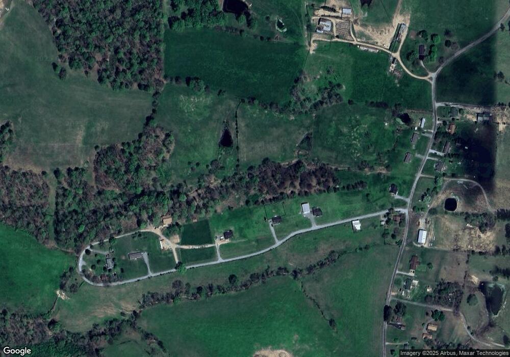
Map
Nearby Homes
- 98 Andrea Ln
- 779 Oakdale Rd
- 8141 Old Highway 52
- 0 Highway 52 W Unit RTC2944821
- 2192 Shrum Cemetery Rd
- 2166 Shrum Cemetery Rd
- 2134 Shrum Cemetery Rd
- 397 Lauren Ln
- 177 Lauren Ln
- 1701 Wixtown Rd
- 1733 Wixtown Rd
- 2134 Oakdale Rd
- 2486 Oakdale Rd
- 6704 Highway 52 W
- 6606 Highway 52 W
- 221 Creekside Ln
- 5071 Old Highway 52
- 1314 Green Grove Rd
- 10029 Old Highway 52
- 2838 Wixtown Rd
- 527 Hunters Ln
- 699 Shrum Cemetery Rd
- 687 Shrum Cemetery Rd
- 741 Shrum Cemetery Rd
- 765 Shrum Cemetery Rd
- 94 Hunters Ln
- 714 Shrum Cemetery Rd
- 618 Shrum Cemetery Rd
- 738 Shrum Cemetery Rd
- 594 Shrum Cemetery Rd
- 760 Shrum Cemetery Rd
- 785 Shrum Cemetery Rd
- 780 Shrum Cemetery Rd
- 550 Shrum Cemetery Rd
- 800 Shrum Cemetery Rd
- 8 Shrum Cemetery Rd
- 9 Shrum Cemetery Rd
- 7 Hunters Ln
- 6 Hunters Ln
- 5 Hunters Ln