679 State Route 487 Elysburg, PA 17824
Estimated Value: $142,216 - $363,000
--
Bed
--
Bath
--
Sq Ft
2.26
Acres
About This Home
This home is located at 679 State Route 487, Elysburg, PA 17824 and is currently estimated at $261,554. 679 State Route 487 is a home located in Northumberland County with nearby schools including Hartman Elementary Center, Southern Columbia Middle School, and Southern Columbia High School.
Ownership History
Date
Name
Owned For
Owner Type
Purchase Details
Closed on
Jul 19, 2016
Sold by
Shutt Lori A and Grow Kim A
Bought by
Bulko Kelly A
Current Estimated Value
Home Financials for this Owner
Home Financials are based on the most recent Mortgage that was taken out on this home.
Original Mortgage
$136,246
Outstanding Balance
$108,625
Interest Rate
3.54%
Mortgage Type
New Conventional
Estimated Equity
$152,929
Create a Home Valuation Report for This Property
The Home Valuation Report is an in-depth analysis detailing your home's value as well as a comparison with similar homes in the area
Home Values in the Area
Average Home Value in this Area
Purchase History
| Date | Buyer | Sale Price | Title Company |
|---|---|---|---|
| Bulko Kelly A | $132,500 | None Available |
Source: Public Records
Mortgage History
| Date | Status | Borrower | Loan Amount |
|---|---|---|---|
| Open | Bulko Kelly A | $136,246 |
Source: Public Records
Tax History Compared to Growth
Tax History
| Year | Tax Paid | Tax Assessment Tax Assessment Total Assessment is a certain percentage of the fair market value that is determined by local assessors to be the total taxable value of land and additions on the property. | Land | Improvement |
|---|---|---|---|---|
| 2025 | $2,386 | $20,200 | $3,940 | $16,260 |
| 2024 | $2,202 | $20,200 | $3,940 | $16,260 |
| 2023 | $2,202 | $20,200 | $3,940 | $16,260 |
| 2022 | $2,206 | $20,200 | $3,940 | $16,260 |
| 2021 | $2,157 | $20,200 | $3,940 | $16,260 |
| 2020 | $2,105 | $20,200 | $3,940 | $16,260 |
| 2019 | $2,052 | $20,200 | $3,940 | $16,260 |
| 2018 | $1,978 | $20,200 | $3,940 | $16,260 |
| 2017 | $1,825 | $20,200 | $3,940 | $16,260 |
| 2016 | -- | $20,200 | $3,940 | $16,260 |
| 2015 | -- | $20,200 | $3,940 | $16,260 |
| 2014 | -- | $20,200 | $3,940 | $16,260 |
Source: Public Records
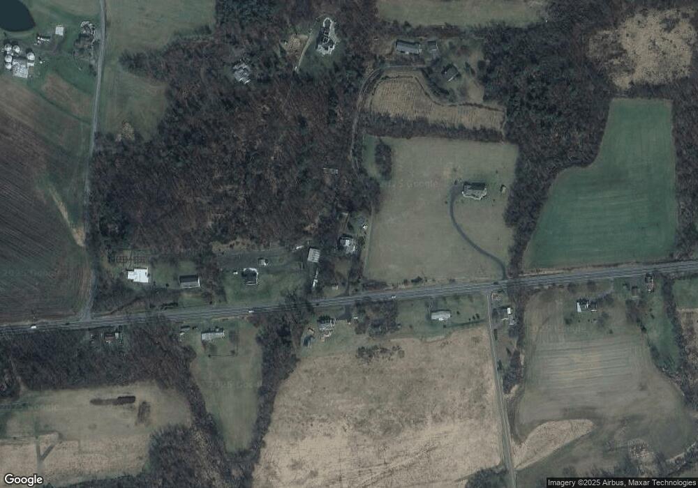
Map
Nearby Homes
- 22 Wood Ave
- 189 Hemlock Ln
- LOT# 5 Hemlock Ln
- 344 Hemlock Ln
- 385 Hemlock Ln
- 39 Circle View Dr
- 41 Circle View Dr
- 45 5th Ave
- 151 Hillside Ave
- 366 Southview Dr
- 0 2nd Ave
- 151 Birchwyn Dr
- 261 Hillside Ave
- 0 Heartland Blvd Unit WB-101932
- 186 Fallen Pines
- 6 Horne Dr
- 0 W Valley Ave
- 404 W Center St
- 7 Whitetail Dr
- 352 Turkey Hill Rd
- 678 State Route 487
- 712 State Route 487
- 735 State Route 487
- 622 State Route 487
- 856 Monastery Rd
- 170 Richards Rd
- 599 State Route 487
- 786 State Route 487
- 586 State Route 487
- 789 Monastery Rd
- 792 State Route 487
- 213 Richards Rd
- 776 Monastery Rd
- 830 State Route 487
- 643 State Route 487
- 169 Latsha Ln
- 303 Richards Rd
- 884 State Route 487
- 865 State Route 487
- 196 Latsha Ln