Estimated Value: $678,000 - $720,272
3
Beds
2
Baths
3,924
Sq Ft
$178/Sq Ft
Est. Value
About This Home
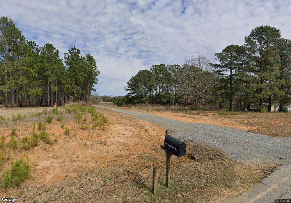
This home is located at 6793 Buckeye Rd, Perry, GA 31069 and is currently estimated at $699,136, approximately $178 per square foot. 6793 Buckeye Rd is a home located in Peach County with nearby schools including Kay Road Elementary School, Fort Valley Middle School, and Peach County High School.
Ownership History
Date
Name
Owned For
Owner Type
Purchase Details
Closed on
May 19, 2025
Sold by
Spires Beatrice
Bought by
Sunshine Plantation Inc
Current Estimated Value
Purchase Details
Closed on
Oct 30, 2024
Sold by
Evans Daniel Foy
Bought by
Spires Beatrice
Purchase Details
Closed on
Nov 3, 2021
Sold by
Sunshine Plantation Inc
Bought by
Evans Daniel Foy
Purchase Details
Closed on
Mar 8, 2013
Sold by
Evans Daniel F
Bought by
Sunshine Plantation Inc
Purchase Details
Closed on
Dec 31, 2012
Sold by
Evans Daniel F
Bought by
Sunshine Plantation Inc
Purchase Details
Closed on
Mar 21, 1996
Bought by
Evans Daniel F
Purchase Details
Closed on
Jul 8, 1987
Sold by
Intertrust Corporation
Bought by
Perry Land Ltd
Purchase Details
Closed on
Jan 6, 1987
Sold by
Harris Cliff
Bought by
Klein Jr Herman F and Klein Jr Hughes, L
Purchase Details
Closed on
Jun 7, 1985
Sold by
Woodruff Industries Inc
Bought by
Harris Cliff
Purchase Details
Closed on
Jan 1, 1976
Sold by
Dewey T Nabors Jr Trustee
Bought by
Woodruff Industries Inc
Purchase Details
Closed on
Jan 1, 1973
Bought by
Dewey T Nabors Jr Trustee
Purchase Details
Closed on
Jan 1, 1970
Bought by
Nabors Dewey T Estate
Create a Home Valuation Report for This Property
The Home Valuation Report is an in-depth analysis detailing your home's value as well as a comparison with similar homes in the area
Purchase History
| Date | Buyer | Sale Price | Title Company |
|---|---|---|---|
| Sunshine Plantation Inc | -- | -- | |
| Spires Beatrice | -- | -- | |
| Evans Daniel Foy | -- | -- | |
| Evans Dnaiel Foy | -- | -- | |
| Sunshine Plantation Inc | -- | -- | |
| Sunshine Plantation Inc | -- | -- | |
| Evans Daniel F | $105,000 | -- | |
| Perry Land Ltd | $701,100 | -- | |
| Intertrust Corporation | $500,000 | -- | |
| Klein Jr Herman F | $174,000 | -- | |
| Harris Cliff | $60,000 | -- | |
| Woodruff Industries Inc | -- | -- | |
| Dewey T Nabors Jr Trustee | -- | -- | |
| Nabors Dewey T Estate | -- | -- |
Source: Public Records
Tax History
| Year | Tax Paid | Tax Assessment Tax Assessment Total Assessment is a certain percentage of the fair market value that is determined by local assessors to be the total taxable value of land and additions on the property. | Land | Improvement |
|---|---|---|---|---|
| 2025 | $4,287 | $205,832 | $67,440 | $138,392 |
| 2024 | $4,382 | $205,032 | $67,440 | $137,592 |
| 2023 | $3,761 | $160,388 | $44,960 | $115,428 |
| 2022 | $4,673 | $148,932 | $44,960 | $103,972 |
| 2021 | $4,073 | $123,920 | $44,960 | $78,960 |
| 2020 | $4,162 | $126,784 | $44,960 | $81,824 |
| 2019 | $4,094 | $123,984 | $44,960 | $79,024 |
| 2018 | $4,114 | $123,984 | $44,960 | $79,024 |
| 2017 | $4,132 | $123,944 | $44,960 | $78,984 |
| 2016 | $4,115 | $123,944 | $44,960 | $78,984 |
Source: Public Records
Map
Nearby Homes
- 0 Todd Rd Unit 253674
- 309 Bermuda Ridge
- 12754 State Route 96
- 108 Chimney Rock Rd
- 624 Wantland Rd
- 102 Steerwood Trail
- 204 Greylock Dr
- 103 Denali Dr
- 0 Airport Rd Unit 250304
- 2XX Airport Rd
- 2327 Us Hwy 41
- 124 Lake Lillian Dr
- 150 MacK Thompson Rd
- 0 MacK Thompson Rd Unit 253661
- 502 Arons Ct
- 149 MacK Thompson Road Common
- 107 Waldorf Dr
- 0 Hwy 41 & Langston Rd Unit M170042
- 0 Langston Rd Unit 16828609
- 115 Woody Dr
- 6836 Buckeye Rd
- 6851 Buckeye Rd
- 6914 Buckeye Rd
- 6641 Buckeye Rd
- 6887 Buckeye Rd
- 7109 Buckeye Rd
- 6639 Buckeye Rd
- 7199 Buckeye Rd
- 7137 Buckeye Rd
- 7221 Buckeye Rd
- 7287 Buckeye Rd
- 7314 Buckeye Rd
- 7409 Buckeye Rd
- 0 Buckeye Rd Unit PAR C 3185634
- 0 Buckeye Rd Unit L2A,AC9000 7439580
- 0 Buckeye Rd Unit L2b 8048500
- 0 Buckeye Rd Unit 8065245
- 0 Buckeye Rd Unit 214166
- 0 Buckeye Rd Unit Tract A 8079804
- 0 Buckeye Rd Unit M136761
Your Personal Tour Guide
Ask me questions while you tour the home.