Estimated Value: $291,015 - $329,000
3
Beds
2
Baths
1,445
Sq Ft
$215/Sq Ft
Est. Value
About This Home
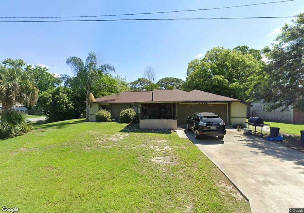
This home is located at 6795 Cairo Rd, Cocoa, FL 32927 and is currently estimated at $310,504, approximately $214 per square foot. 6795 Cairo Rd is a home located in Brevard County with nearby schools including Enterprise Elementary School, Space Coast Junior/Senior High School, and Sculptor Charter School.
Create a Home Valuation Report for This Property
The Home Valuation Report is an in-depth analysis detailing your home's value as well as a comparison with similar homes in the area
Home Values in the Area
Average Home Value in this Area
Tax History
We collect this data history from publicly available records. To have your information removed, we recommend requesting removal directly through your county’s website.
| Year | Tax Paid | Tax Assessment Tax Assessment Total Assessment is a certain percentage of the fair market value that is determined by local assessors to be the total taxable value of land and additions on the property. | Land | Improvement |
|---|---|---|---|---|
| 2025 | $3,584 | $82,370 | -- | -- |
| 2024 | $3,548 | $80,050 | -- | -- |
| 2023 | $3,548 | $77,720 | $0 | $0 |
| 2022 | $3,458 | $75,460 | $0 | $0 |
| 2021 | $1,046 | $73,270 | $0 | $0 |
| 2020 | $988 | $72,260 | $0 | $0 |
| 2019 | $935 | $70,640 | $0 | $0 |
| 2018 | $936 | $69,330 | $0 | $0 |
| 2017 | $935 | $67,910 | $0 | $0 |
| 2016 | $943 | $66,520 | $18,000 | $48,520 |
| 2015 | $952 | $66,060 | $15,000 | $51,060 |
| 2014 | $956 | $65,540 | $11,000 | $54,540 |
Source: Public Records
Map
Nearby Homes
- 6813 Cecil Rd
- 5135 Market St
- 5070 Curtis Blvd
- 5145 Carter St
- 5160 Carter St
- 6615 Dock Ave
- 5155 Mayflower St
- 00 Unknown
- 5075 Carter St
- 6570 Dock Ave
- 6560 Dock Ave
- 5165 Patricia St
- 6450 Ember Ave
- 6965 Hundred Acre Dr
- 5555 Brandon St
- 5002 Bogey Place
- 6574 Haven Ave
- 6442 Fairchild Ave
- 5424 Flint Rd
- 6581 Bancroft Ave
Your Personal Tour Guide
Ask me questions while you tour the home.