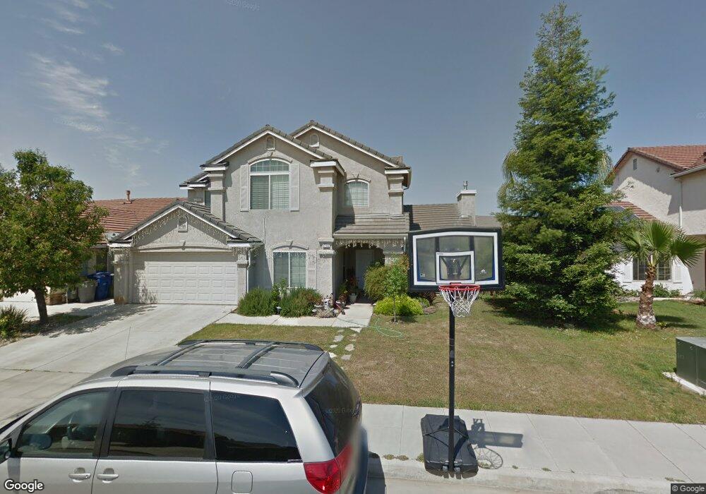
6796 E Amherst Ave Fresno, CA 93727
McLane NeighborhoodEstimated Value: $487,915 - $533,000
5
Beds
3
Baths
2,398
Sq Ft
$216/Sq Ft
Est. Value
About This Home
This home is located at 6796 E Amherst Ave, Fresno, CA 93727 and is currently estimated at $517,305, approximately $215 per square foot. 6796 E Amherst Ave is a home located in Fresno County with nearby schools including Clovis Christian Schools.
Ownership History
Date
Name
Owned For
Owner Type
Purchase Details
Closed on
Nov 10, 2009
Sold by
Fannie Mae
Bought by
Akia Maria Luisa and Akia Daniel E
Current Estimated Value
Home Financials for this Owner
Home Financials are based on the most recent Mortgage that was taken out on this home.
Original Mortgage
$230,743
Outstanding Balance
$149,351
Interest Rate
4.83%
Mortgage Type
FHA
Estimated Equity
$367,954
Purchase Details
Closed on
Aug 11, 2009
Sold by
Onwumere Peter N
Bought by
Federal National Mortgage Association
Purchase Details
Closed on
Sep 1, 2006
Sold by
Bn 5233 Lp
Bought by
Onwumere Peter N
Home Financials for this Owner
Home Financials are based on the most recent Mortgage that was taken out on this home.
Original Mortgage
$308,460
Interest Rate
6.67%
Mortgage Type
New Conventional
Create a Home Valuation Report for This Property
The Home Valuation Report is an in-depth analysis detailing your home's value as well as a comparison with similar homes in the area
Home Values in the Area
Average Home Value in this Area
Purchase History
| Date | Buyer | Sale Price | Title Company |
|---|---|---|---|
| Akia Maria Luisa | $235,000 | Landsafe Title Company | |
| Federal National Mortgage Association | $345,483 | Landsafe Title | |
| Onwumere Peter N | $386,000 | Chicago Title Company |
Source: Public Records
Mortgage History
| Date | Status | Borrower | Loan Amount |
|---|---|---|---|
| Open | Akia Maria Luisa | $230,743 | |
| Previous Owner | Onwumere Peter N | $308,460 |
Source: Public Records
Tax History
| Year | Tax Paid | Tax Assessment Tax Assessment Total Assessment is a certain percentage of the fair market value that is determined by local assessors to be the total taxable value of land and additions on the property. | Land | Improvement |
|---|---|---|---|---|
| 2025 | $3,927 | $303,331 | $90,351 | $212,980 |
| 2023 | $3,658 | $291,554 | $86,844 | $204,710 |
| 2022 | $3,587 | $285,839 | $85,142 | $200,697 |
| 2021 | $3,482 | $280,235 | $83,473 | $196,762 |
| 2020 | $3,514 | $277,363 | $82,618 | $194,745 |
| 2019 | $4,819 | $271,926 | $80,999 | $190,927 |
| 2018 | $3,192 | $266,595 | $79,411 | $187,184 |
| 2017 | $3,134 | $261,368 | $77,854 | $183,514 |
| 2016 | $3,027 | $256,244 | $76,328 | $179,916 |
| 2015 | $2,970 | $252,396 | $75,182 | $177,214 |
| 2014 | $2,914 | $247,453 | $73,710 | $173,743 |
Source: Public Records
Map
Nearby Homes
- 1934 N Arroyo Ave
- 1918 N Arroyo Ave
- 1902 N Arroyo Ave
- 1926 N Arroyo Ave
- 1894 N Arroyo Ave
- 3036 N Clover Ave
- 6585 E Huffman Ave
- 6552 E Huffman Ave
- 3165 N Arroyo Ave
- 2831 N Redda Rd
- 2819 N Redda Rd
- 3062 N Filbert Ave
- 7063 E Brown Ave
- 2648 N Armstrong Ave
- 2788 N Douglas Ave
- 2721 N Armstrong Ave
- 7153 E Harvard Ave
- 6978 E Fedora Ave
- 3342 N Carriage Ave
- 3044 N Jason Ave
- 6810 E Amherst Ave
- 6782 E Amherst Ave
- 6793 E Cornell Ave
- 6807 E Cornell Ave
- 6779 E Cornell Ave
- 6824 E Amherst Ave
- 6801 E Amherst Ave
- 6787 E Amherst Ave
- 6821 E Cornell Ave
- 6815 E Amherst Ave
- 6768 E Amherst Ave
- 6765 E Cornell Ave
- 6838 E Amherst Ave
- 6829 E Amherst Ave
- 2853 N Mckelvey Ave
- 6835 E Cornell Ave
- 2837 N Mckelvey Ave
- 6843 E Amherst Ave
- 6798 E Michigan Ave
- 6794 E Cornell Ave
Your Personal Tour Guide
Ask me questions while you tour the home.