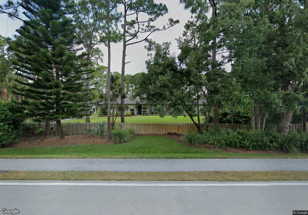
6799 143rd St N West Palm Beach, FL 33418
Palm Beach Country Estates NeighborhoodEstimated Value: $846,000 - $1,085,000
3
Beds
2
Baths
1,950
Sq Ft
$466/Sq Ft
Est. Value
About This Home
This home is located at 6799 143rd St N, West Palm Beach, FL 33418 and is currently estimated at $909,673, approximately $466 per square foot. 6799 143rd St N is a home located in Palm Beach County with nearby schools including William T. Dwyer High School, Marsh Pointe Elementary School, and Independence Middle School.
Ownership History
Date
Name
Owned For
Owner Type
Purchase Details
Closed on
Jul 16, 2007
Sold by
Brown James Kohl and Brown Elizabeth E
Bought by
Flynn Robert
Current Estimated Value
Home Financials for this Owner
Home Financials are based on the most recent Mortgage that was taken out on this home.
Original Mortgage
$308,000
Outstanding Balance
$192,711
Interest Rate
6.52%
Mortgage Type
Purchase Money Mortgage
Estimated Equity
$716,962
Purchase Details
Closed on
Mar 9, 2000
Sold by
Kaminski Mark P and Kaminski Eva B
Bought by
Brown James K
Home Financials for this Owner
Home Financials are based on the most recent Mortgage that was taken out on this home.
Original Mortgage
$146,000
Interest Rate
8.3%
Mortgage Type
New Conventional
Purchase Details
Closed on
Jun 18, 1993
Sold by
Kaminski Mark P
Bought by
Kaminski Mark P
Create a Home Valuation Report for This Property
The Home Valuation Report is an in-depth analysis detailing your home's value as well as a comparison with similar homes in the area
Home Values in the Area
Average Home Value in this Area
Purchase History
| Date | Buyer | Sale Price | Title Company |
|---|---|---|---|
| Flynn Robert | $385,000 | Attorney | |
| Brown James K | $170,000 | -- | |
| Kaminski Mark P | $39,000 | -- |
Source: Public Records
Mortgage History
| Date | Status | Borrower | Loan Amount |
|---|---|---|---|
| Open | Flynn Robert | $308,000 | |
| Previous Owner | Brown James K | $146,000 |
Source: Public Records
Tax History Compared to Growth
Tax History
| Year | Tax Paid | Tax Assessment Tax Assessment Total Assessment is a certain percentage of the fair market value that is determined by local assessors to be the total taxable value of land and additions on the property. | Land | Improvement |
|---|---|---|---|---|
| 2024 | $5,782 | $293,158 | -- | -- |
| 2023 | $5,887 | $284,619 | $0 | $0 |
| 2022 | $6,016 | $276,329 | $0 | $0 |
| 2021 | $5,939 | $268,281 | $0 | $0 |
| 2020 | $5,908 | $264,577 | $0 | $0 |
| 2019 | $6,051 | $258,629 | $0 | $0 |
| 2018 | $6,426 | $253,807 | $0 | $0 |
| 2017 | $6,272 | $248,587 | $0 | $0 |
| 2016 | $6,003 | $230,875 | $0 | $0 |
| 2015 | $6,118 | $229,270 | $0 | $0 |
| 2014 | $6,081 | $227,450 | $0 | $0 |
Source: Public Records
Map
Nearby Homes
- 14450 69th Dr N
- 6508 143rd St N
- 6599 140th Ln N
- 6731 Donald Ross Rd
- 14410 64th Way N
- 13917 Palm Grove Place
- 13878 Palm Grove Place
- 6962 Rossinch Dr Unit Coral 37
- 6974 Rossinch Dr Unit Brixton 39
- 13681 Dalrada Ave Unit Coral 34
- 6980 Rossinch Dr Unit Scarlett 40
- 13813 Dalrada Ave Unit Coral 002
- 13808 Dalrada Ave Unit Scarlett 67
- 13819 Dalrada Ave Unit Whitestone 001
- 13807 Ave Unit 3 Brixton
- 13765 Dalrada Ave Unit Brixton 10
- 13783 Dalrada Ave Unit Whitestone 007
- 13872 Greensview Dr
- 13867 Eastpointe Way
- 13886 Whispering Lakes Ln
- 14370 68th Dr N
- 6843 143
- 6751 143rd St N
- 6843 143rd St N
- 6800 143rd St N
- 14369 68th Dr N
- 14369 67th Trail N
- 6752 143rd St N
- 6842 143rd St N
- 14410 68th Dr N
- 14409 68th Dr N
- 6915 143rd St N
- 6705 143rd St N
- 14370 69th Dr N
- 14409 67th Trail N
- 6706 143rd St N
- 14370 67th Trail N
- 6914 143rd St N
- 14410 69th Dr N
- 6775 141st Ln N