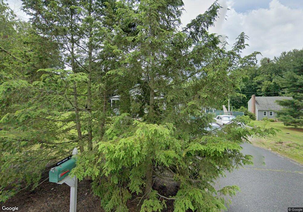
68 Boston Rd Sutton, MA 01590
Estimated Value: $476,000 - $649,000
3
Beds
2
Baths
1,690
Sq Ft
$343/Sq Ft
Est. Value
About This Home
This home is located at 68 Boston Rd, Sutton, MA 01590 and is currently estimated at $579,566, approximately $342 per square foot. 68 Boston Rd is a home located in Worcester County with nearby schools including Sutton Elementary School, Sutton Middle School, and Sutton High School.
Ownership History
Date
Name
Owned For
Owner Type
Purchase Details
Closed on
Jan 8, 2004
Sold by
Ludvigson Robert B
Bought by
Ludvigson Robert B and Charity Virginia
Current Estimated Value
Purchase Details
Closed on
May 7, 1997
Sold by
Mongeon Glenn L
Bought by
Ludvigson Robert B
Purchase Details
Closed on
Nov 3, 1992
Sold by
Leger Raymond J
Bought by
Mongeon Glenn L and Mongeon Julie
Create a Home Valuation Report for This Property
The Home Valuation Report is an in-depth analysis detailing your home's value as well as a comparison with similar homes in the area
Home Values in the Area
Average Home Value in this Area
Purchase History
| Date | Buyer | Sale Price | Title Company |
|---|---|---|---|
| Ludvigson Robert B | -- | -- | |
| Ludvigson Robert B | $115,000 | -- | |
| Mongeon Glenn L | $117,000 | -- |
Source: Public Records
Mortgage History
| Date | Status | Borrower | Loan Amount |
|---|---|---|---|
| Previous Owner | Mongeon Glenn L | $65,000 | |
| Previous Owner | Mongeon Glenn L | $210,000 | |
| Previous Owner | Mongeon Glenn L | $60,000 |
Source: Public Records
Tax History
| Year | Tax Paid | Tax Assessment Tax Assessment Total Assessment is a certain percentage of the fair market value that is determined by local assessors to be the total taxable value of land and additions on the property. | Land | Improvement |
|---|---|---|---|---|
| 2025 | $6,525 | $523,700 | $159,900 | $363,800 |
| 2024 | $6,611 | $512,900 | $152,600 | $360,300 |
| 2023 | $5,777 | $410,300 | $137,900 | $272,400 |
| 2022 | $5,988 | $385,800 | $105,100 | $280,700 |
| 2021 | $5,444 | $333,400 | $105,100 | $228,300 |
| 2020 | $5,451 | $333,400 | $105,100 | $228,300 |
| 2019 | $5,181 | $305,500 | $101,300 | $204,200 |
| 2018 | $3,512 | $294,000 | $101,300 | $192,700 |
| 2017 | $31 | $285,800 | $88,500 | $197,300 |
| 2016 | $4,783 | $278,900 | $88,500 | $190,400 |
| 2015 | $4,612 | $269,700 | $88,500 | $181,200 |
| 2014 | $4,376 | $250,900 | $91,300 | $159,600 |
Source: Public Records
Map
Nearby Homes
- 20 Millers Way Unit C
- 66 Buttonwood Ave
- 229 Worcester-Providence Turnpike
- 175 Armsby Rd
- 5 Wildflower Dr
- 150 Ariel Cir
- 90 Leland Hill Rd
- 99 Burbank Road Lot 182
- 99 Burbank Rd
- 82 Central Turnpike
- 1 Burbank Rd
- 53 Fisherville Terrace
- 64 Fisherville Terrace
- 62 Fisherville Terrace
- 58 Fisherville Terrace
- 5 Mogren Dr
- 168 Burbank Rd
- 191 Hartness Rd
- 2 Jessica j Dr
- 4 Jessica j Dr
Your Personal Tour Guide
Ask me questions while you tour the home.