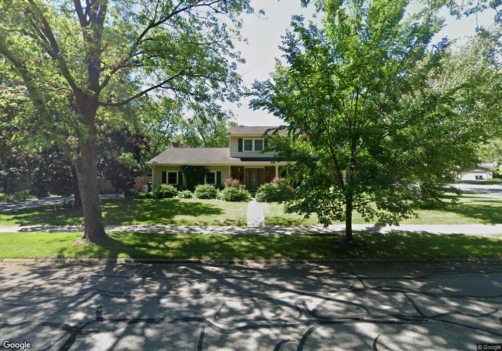
68 Bunting Ln Naperville, IL 60565
Maple Brook NeighborhoodEstimated Value: $555,219 - $648,000
Studio
1
Bath
2,249
Sq Ft
$270/Sq Ft
Est. Value
About This Home
This home is located at 68 Bunting Ln, Naperville, IL 60565 and is currently estimated at $606,305, approximately $269 per square foot. 68 Bunting Ln is a home located in DuPage County with nearby schools including Maplebrook Elementary School, Lincoln Jr. High School, and Naperville Central High School.
Ownership History
Date
Name
Owned For
Owner Type
Purchase Details
Closed on
Apr 23, 1998
Sold by
Allietta Gary W and Allietta Karin M
Bought by
Connor Catherine S
Current Estimated Value
Home Financials for this Owner
Home Financials are based on the most recent Mortgage that was taken out on this home.
Original Mortgage
$30,000
Outstanding Balance
$5,735
Interest Rate
7.18%
Estimated Equity
$600,570
Create a Home Valuation Report for This Property
The Home Valuation Report is an in-depth analysis detailing your home's value as well as a comparison with similar homes in the area
Home Values in the Area
Average Home Value in this Area
Purchase History
| Date | Buyer | Sale Price | Title Company |
|---|---|---|---|
| Connor Catherine S | $211,500 | -- |
Source: Public Records
Mortgage History
| Date | Status | Borrower | Loan Amount |
|---|---|---|---|
| Open | Connor Catherine S | $30,000 |
Source: Public Records
Tax History
| Year | Tax Paid | Tax Assessment Tax Assessment Total Assessment is a certain percentage of the fair market value that is determined by local assessors to be the total taxable value of land and additions on the property. | Land | Improvement |
|---|---|---|---|---|
| 2024 | $8,771 | $159,172 | $74,343 | $84,829 |
| 2023 | $8,400 | $145,270 | $67,850 | $77,420 |
| 2022 | $8,242 | $138,350 | $64,620 | $73,730 |
| 2021 | $7,927 | $133,120 | $62,180 | $70,940 |
| 2020 | $7,751 | $130,720 | $61,060 | $69,660 |
| 2019 | $7,508 | $125,070 | $58,420 | $66,650 |
| 2018 | $7,638 | $122,010 | $56,990 | $65,020 |
| 2017 | $7,483 | $117,900 | $55,070 | $62,830 |
| 2016 | $7,332 | $113,640 | $53,080 | $60,560 |
| 2015 | $7,282 | $107,020 | $49,990 | $57,030 |
| 2014 | $7,140 | $101,920 | $47,610 | $54,310 |
| 2013 | $7,032 | $102,160 | $47,720 | $54,440 |
Source: Public Records
Map
Nearby Homes
- 44 Swift Ln
- 77 Bluebird Ln
- 1532 Swallow St
- 292 Winding Creek Dr
- 8S510 Oxford Ln
- 1209 Laurel Ln
- 8S452 Bell Dr
- 1583 Orchard Cir
- 308 Tamarack Ave
- 1317 Carol Ln
- 1678 Cove Ct Unit 5
- 731 Saddlers Ct
- 510 Harlowe Ln Unit 2001C
- 329 Tanoak Ln
- 1751 S Washington St Unit 1
- 1449 Whitespire Ct Unit 5104
- 144 E Bailey Rd Unit G
- 538 Harlowe Ln Unit 1801
- 48 Starling Ln
- 413 Buckeye Dr
Your Personal Tour Guide
Ask me questions while you tour the home.