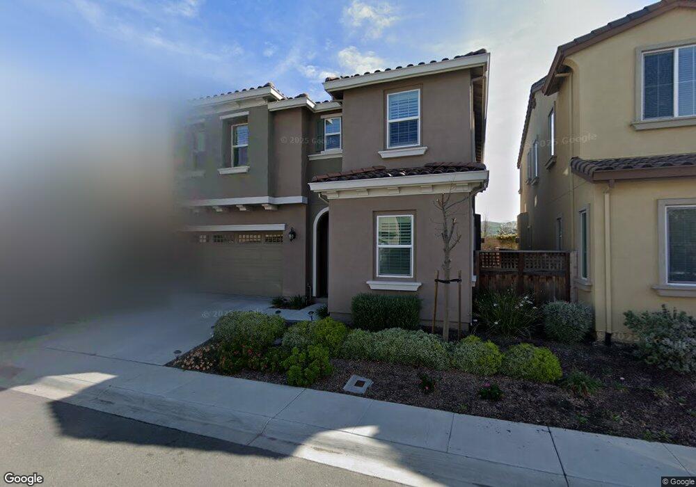
68 Chysis Rd Milpitas, CA 95035
Milpitas AreaEstimated Value: $1,893,000 - $2,288,000
About This Home
This home is located at 68 Chysis Rd, Milpitas, CA 95035 and is currently estimated at $2,095,580, approximately $794 per square foot. 68 Chysis Rd is a home with nearby schools including Robert Randall Elementary School, Rancho Milpitas Middle School, and Milpitas High School.
Ownership History
We collect this data history from publicly available records. To have your information removed, we recommend requesting removal directly through your county’s website.
Purchase Details
Home Financials for this Owner
Home Financials are based on the most recent Mortgage that was taken out on this home.Home Values in the Area
Average Home Value in this Area
Purchase History
We collect this data history from publicly available records. To have your information removed, we recommend requesting removal directly through your county’s website.
| Date | Buyer | Sale Price | Title Company |
|---|---|---|---|
| $1,226,000 | First American Title |
Mortgage History
We collect this data history from publicly available records. To have your information removed, we recommend requesting removal directly through your county’s website.
| Date | Status | Borrower | Loan Amount |
|---|---|---|---|
| Open | $250,000 |
Tax History
We collect this data history from publicly available records. To have your information removed, we recommend requesting removal directly through your county’s website.
| Year | Tax Paid | Tax Assessment Tax Assessment Total Assessment is a certain percentage of the fair market value that is determined by local assessors to be the total taxable value of land and additions on the property. | Land | Improvement |
|---|---|---|---|---|
| 2026 | $17,379 | $1,496,710 | $901,512 | $595,198 |
| 2025 | $17,379 | $1,467,364 | $883,836 | $583,528 |
| 2024 | $17,087 | $1,438,593 | $866,506 | $572,087 |
| 2023 | $17,023 | $1,410,386 | $849,516 | $560,870 |
| 2022 | $16,924 | $1,382,732 | $832,859 | $549,873 |
| 2021 | $16,659 | $1,355,621 | $816,529 | $539,092 |
| 2020 | $16,365 | $1,341,722 | $808,157 | $533,565 |
| 2019 | $16,166 | $1,315,414 | $792,311 | $523,103 |
| 2018 | $15,346 | $1,289,623 | $776,776 | $512,847 |
| 2017 | $15,136 | $1,264,338 | $761,546 | $502,792 |
| 2016 | $14,527 | $1,239,548 | $746,614 | $492,934 |
| 2015 | $5,243 | $454,401 | $454,401 | $0 |
| 2014 | -- | $445,500 | $445,500 | $0 |
Map
- 242 Fairmeadow Way
- 0 Railroad Ave
- 292 Silverlake Ct
- 7280 Marylinn Dr
- 50 Serra Way
- 73 Images Cir
- 908 Smith Ln
- 180 Marylinn Dr Unit C26
- 662 Ohlone St
- 682 Ohlone St
- 660 S Main St
- 686 Ohlone St
- 648 S Main St
- 243 Parc Place Dr Unit RU1303
- 646 S Main St
- 658 S Main St
- 658 S Main St
- 600 S Abel St Unit 505
- 1158 Mente Linda Loop Unit 8G
- 341 Imagination Place
- 352 Hearst Dr
- 348 Hearst Dr Unit 25
- 348 Hearst Dr Unit A
- 348 Hearst Dr
- 356 Hearst Dr
- 75 S Milpitas Blvd
- 382 Hearst Dr
- 386 Hearst Dr
- 360 Hearst Dr
- 388 Hearst Dr
- 380 Hearst Dr
- 77 S Milpitas Blvd
- 378 Hearst Dr
- 362 Hearst Dr
- 102 Chysis Rd
- 81 S Milpitas Blvd
- 376 Hearst Dr
- 98 Chysis Rd
- 83 S Milpitas Blvd
- 372 Hearst Dr
Ask me questions while you tour the home.