68 Clark Rd Haddam, CT 06438
Estimated Value: $390,000 - $518,000
3
Beds
4
Baths
2,202
Sq Ft
$198/Sq Ft
Est. Value
About This Home
This home is located at 68 Clark Rd, Haddam, CT 06438 and is currently estimated at $436,996, approximately $198 per square foot. 68 Clark Rd is a home located in Middlesex County with nearby schools including Haddam-Killingworth High School.
Ownership History
Date
Name
Owned For
Owner Type
Purchase Details
Closed on
Mar 8, 2019
Sold by
Mcgarry Robert W and Mcgarry Vivienne V
Bought by
Mcgarry Children T
Current Estimated Value
Purchase Details
Closed on
Aug 2, 1996
Sold by
Solak Jane L
Bought by
Mcgarry Robert W and Mcgarry Mcgarry
Home Financials for this Owner
Home Financials are based on the most recent Mortgage that was taken out on this home.
Original Mortgage
$184,500
Interest Rate
8.27%
Mortgage Type
Purchase Money Mortgage
Create a Home Valuation Report for This Property
The Home Valuation Report is an in-depth analysis detailing your home's value as well as a comparison with similar homes in the area
Home Values in the Area
Average Home Value in this Area
Purchase History
| Date | Buyer | Sale Price | Title Company |
|---|---|---|---|
| Mcgarry Children T | -- | -- | |
| Mcgarry Robert W | $98,400 | -- | |
| Mcgarry Robert W | $98,400 | -- |
Source: Public Records
Mortgage History
| Date | Status | Borrower | Loan Amount |
|---|---|---|---|
| Previous Owner | Mcgarry Robert W | $184,000 | |
| Previous Owner | Mcgarry Robert W | $184,500 |
Source: Public Records
Tax History
| Year | Tax Paid | Tax Assessment Tax Assessment Total Assessment is a certain percentage of the fair market value that is determined by local assessors to be the total taxable value of land and additions on the property. | Land | Improvement |
|---|---|---|---|---|
| 2025 | $5,680 | $165,360 | $25,770 | $139,590 |
| 2024 | $5,680 | $165,360 | $25,770 | $139,590 |
| 2023 | $5,601 | $165,360 | $25,770 | $139,590 |
| 2022 | $5,346 | $165,360 | $25,770 | $139,590 |
| 2021 | $5,318 | $165,360 | $25,770 | $139,590 |
| 2020 | $5,504 | $173,690 | $32,590 | $141,100 |
| 2019 | $5,504 | $173,690 | $32,590 | $141,100 |
| 2018 | $5,504 | $173,690 | $32,590 | $141,100 |
| 2017 | $5,504 | $173,690 | $32,590 | $141,100 |
| 2016 | $3,153 | $101,060 | $32,590 | $68,470 |
| 2015 | $3,308 | $106,030 | $32,590 | $73,440 |
| 2014 | $3,275 | $106,030 | $32,590 | $73,440 |
Source: Public Records
Map
Nearby Homes
- 16 Walkley Hill Rd
- 30 High St
- 291 Injun Hollow Rd
- 195A Injun Hollow Rd
- 214 Thayer Rd
- 86 Christian Hill Rd
- 0 S Dish Mill Rd Unit 24082788
- 26 Boulder Dell Rd
- 289 Young St
- 428 Plains Rd
- 10 November Trail
- 210 Dripps Rd
- 3 Copley Rd
- 2 Morgan Ln
- 63 Burr Rd
- 882 Killingworth Rd
- 10 Highland Ave
- 5 Pinehurst Ln Unit 5
- 8 Augusta Cir Unit 8
- 0 Mountain Laurel Dr
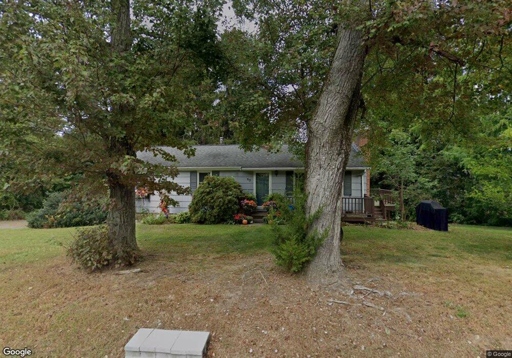
- 62 Clark Rd
- 82 Clark Rd
- 121 Walkley Hill Rd
- 65 Clark Rd
- 75 Clark Rd
- 115 Walkley Hill Rd
- 12 Spider Hill Rd
- 54 Clark Rd
- 55 Clark Rd
- 111 Walkley Hill Rd
- 11 Spider Hill Rd
- 44 Clark Rd
- 139 Walkley Hill Rd
- 114 Walkley Hill Rd
- 18 Spider Hill Rd
- 53 Clark Rd
- 36 Clark Rd
- 36 Clark Rd Unit BEN
- 37 Clark Rd
- 0 Swain Johnson Trail
Your Personal Tour Guide
Ask me questions while you tour the home.