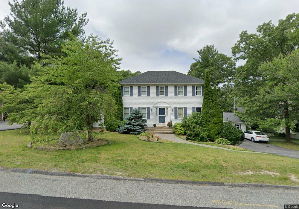
68 Howe Ave Shrewsbury, MA 01545
Estimated Value: $714,000 - $756,000
3
Beds
4
Baths
2,036
Sq Ft
$362/Sq Ft
Est. Value
About This Home
This home is located at 68 Howe Ave, Shrewsbury, MA 01545 and is currently estimated at $736,113, approximately $361 per square foot. 68 Howe Ave is a home located in Worcester County with nearby schools including Sherwood Middle School, Floral Street School, and Oak Middle School.
Ownership History
Date
Name
Owned For
Owner Type
Purchase Details
Closed on
Sep 30, 2004
Sold by
Loiseau Andrea L and Loiseau Brian J
Bought by
Alkharraz Eman
Current Estimated Value
Home Financials for this Owner
Home Financials are based on the most recent Mortgage that was taken out on this home.
Original Mortgage
$368,000
Outstanding Balance
$173,672
Interest Rate
5.81%
Mortgage Type
Purchase Money Mortgage
Estimated Equity
$562,441
Purchase Details
Closed on
Jan 19, 1994
Sold by
Violette Bros Inc
Bought by
Loiseau Brian and Loiseau Andrea
Create a Home Valuation Report for This Property
The Home Valuation Report is an in-depth analysis detailing your home's value as well as a comparison with similar homes in the area
Home Values in the Area
Average Home Value in this Area
Purchase History
| Date | Buyer | Sale Price | Title Company |
|---|---|---|---|
| Alkharraz Eman | $460,000 | -- | |
| Alkharraz Eman | $460,000 | -- | |
| Alkharraz Eman | $460,000 | -- | |
| Loiseau Brian | $170,000 | -- | |
| Loiseau Brian | $170,000 | -- |
Source: Public Records
Mortgage History
| Date | Status | Borrower | Loan Amount |
|---|---|---|---|
| Open | Alkharraz Eman | $368,000 | |
| Closed | Alkharraz Eman | $368,000 | |
| Previous Owner | Loiseau Brian | $197,000 |
Source: Public Records
Tax History
| Year | Tax Paid | Tax Assessment Tax Assessment Total Assessment is a certain percentage of the fair market value that is determined by local assessors to be the total taxable value of land and additions on the property. | Land | Improvement |
|---|---|---|---|---|
| 2025 | $84 | $695,900 | $258,200 | $437,700 |
| 2024 | $8,264 | $667,500 | $245,900 | $421,600 |
| 2023 | $7,856 | $598,800 | $245,900 | $352,900 |
| 2022 | $7,576 | $536,900 | $245,900 | $291,000 |
| 2021 | $6,191 | $469,400 | $196,700 | $272,700 |
| 2020 | $5,845 | $468,700 | $196,700 | $272,000 |
| 2019 | $5,665 | $450,700 | $180,200 | $270,500 |
| 2018 | $5,620 | $443,900 | $172,200 | $271,700 |
| 2017 | $5,421 | $422,500 | $155,900 | $266,600 |
| 2016 | $5,353 | $411,800 | $145,900 | $265,900 |
| 2015 | $4,871 | $369,000 | $140,600 | $228,400 |
Source: Public Records
Map
Nearby Homes
- 9 Howe Ave
- 4 Old Cart Rd
- 17 Stone Ave
- 24 Williamsburg Ct Unit 21
- 39 Tanager Dr
- 495 Grafton St
- 86 Harriet Ave
- 21 Janet Cir
- 95 Grove St
- 4 Sterling St
- 610 Grafton St
- 7 Wingate St
- 15 Conifer Cir Unit 31
- 5 Conifer Cir Unit 28
- 44 Shrewsbury Green Dr Unit B
- 77 -79 Harrington Ave
- 69 Lake St
- 68 Shrewsbury Green Dr Unit J
- 105 S Quinsigamond Ave
- 2 Shrewsbury Green Dr Unit F
Your Personal Tour Guide
Ask me questions while you tour the home.