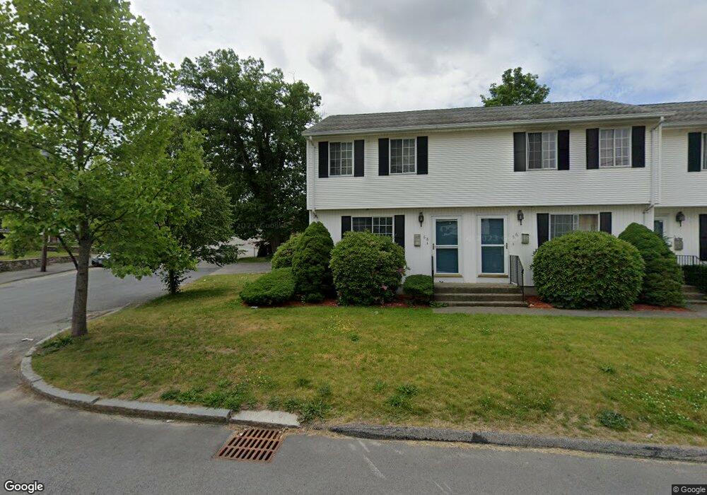
68 King Philip Rd Worcester, MA 01606
Greendale NeighborhoodEstimated Value: $287,000 - $310,806
2
Beds
1
Bath
900
Sq Ft
$332/Sq Ft
Est. Value
About This Home
This home is located at 68 King Philip Rd, Worcester, MA 01606 and is currently estimated at $299,202, approximately $332 per square foot. 68 King Philip Rd is a home located in Worcester County with nearby schools including Jacob Hiatt Magnet School, Chandler Magnet, and Thorndyke Road School.
Ownership History
Date
Name
Owned For
Owner Type
Purchase Details
Closed on
Nov 30, 1993
Sold by
Baltic Realty Corp
Bought by
White Gary J and White Angela
Current Estimated Value
Home Financials for this Owner
Home Financials are based on the most recent Mortgage that was taken out on this home.
Original Mortgage
$81,000
Interest Rate
6.72%
Mortgage Type
Purchase Money Mortgage
Create a Home Valuation Report for This Property
The Home Valuation Report is an in-depth analysis detailing your home's value as well as a comparison with similar homes in the area
Home Values in the Area
Average Home Value in this Area
Purchase History
| Date | Buyer | Sale Price | Title Company |
|---|---|---|---|
| White Gary J | $135,000 | -- |
Source: Public Records
Mortgage History
| Date | Status | Borrower | Loan Amount |
|---|---|---|---|
| Closed | White Gary J | $81,000 |
Source: Public Records
Tax History Compared to Growth
Tax History
| Year | Tax Paid | Tax Assessment Tax Assessment Total Assessment is a certain percentage of the fair market value that is determined by local assessors to be the total taxable value of land and additions on the property. | Land | Improvement |
|---|---|---|---|---|
| 2025 | $3,268 | $247,800 | $0 | $247,800 |
| 2024 | $3,370 | $245,100 | $0 | $245,100 |
| 2023 | $3,042 | $212,100 | $0 | $212,100 |
| 2022 | $2,776 | $182,500 | $0 | $182,500 |
| 2021 | $2,808 | $172,500 | $0 | $172,500 |
| 2020 | $2,669 | $157,000 | $0 | $157,000 |
| 2019 | $2,392 | $132,900 | $0 | $132,900 |
| 2018 | $2,369 | $125,300 | $0 | $125,300 |
| 2017 | $2,372 | $123,400 | $0 | $123,400 |
| 2016 | $2,543 | $123,400 | $0 | $123,400 |
| 2015 | $2,469 | $123,000 | $0 | $123,000 |
| 2014 | $2,403 | $123,000 | $0 | $123,000 |
Source: Public Records
Map
Nearby Homes
- 66 King Philip Rd
- 66 King Philip Rd Unit 1
- 64 King Philip Rd
- 64 King Philip Rd Unit 1
- 65 Andover St
- 65 Andover St Unit 2
- 65 Andover St Unit 3
- 65 Andover St Unit 1
- 61 Andover St
- 57 Andover St
- 69 King Philip Rd
- 65 King Philip Rd
- 75 King Philip Rd
- 58 King Philip Rd
- 61 King Philip Rd
- 71 Fraternal Ave Unit GR
- 71 Fraternal Ave Unit GL
- 71 Fraternal Ave Unit 1L
- 71 Fraternal Ave Unit 1R
- 71 Fraternal Ave Unit Grnd R