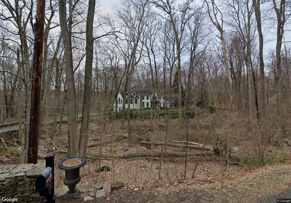
68 Knapp St Easton, CT 06612
Estimated Value: $1,284,009 - $1,470,000
4
Beds
4
Baths
4,309
Sq Ft
$318/Sq Ft
Est. Value
About This Home
This home is located at 68 Knapp St, Easton, CT 06612 and is currently estimated at $1,370,252, approximately $317 per square foot. 68 Knapp St is a home located in Fairfield County with nearby schools including Samuel Staples Elementary School, Helen Keller Middle School, and Joel Barlow High School.
Ownership History
Date
Name
Owned For
Owner Type
Purchase Details
Closed on
Sep 7, 2022
Sold by
Krett Rita C and Krett David
Bought by
6817 Llc
Current Estimated Value
Purchase Details
Closed on
Jul 17, 2000
Sold by
A & F Dev Llc
Bought by
Krett Rita C
Home Financials for this Owner
Home Financials are based on the most recent Mortgage that was taken out on this home.
Original Mortgage
$607,920
Interest Rate
8.6%
Purchase Details
Closed on
Dec 22, 1999
Sold by
Marini & Son Bldrs
Bought by
A&F Dev Llc
Purchase Details
Closed on
Jul 1, 1999
Sold by
Barosky Robert J
Bought by
Zuccerella John G and Zuccerella Christine P
Home Financials for this Owner
Home Financials are based on the most recent Mortgage that was taken out on this home.
Original Mortgage
$259,250
Interest Rate
7.19%
Create a Home Valuation Report for This Property
The Home Valuation Report is an in-depth analysis detailing your home's value as well as a comparison with similar homes in the area
Home Values in the Area
Average Home Value in this Area
Purchase History
| Date | Buyer | Sale Price | Title Company |
|---|---|---|---|
| 6817 Llc | -- | None Available | |
| 6817 Llc | -- | None Available | |
| Krett Rita C | $759,900 | -- | |
| Krett Rita C | $759,900 | -- | |
| A&F Dev Llc | $187,000 | -- | |
| Zuccerella John G | $305,000 | -- | |
| Zuccerella John G | $305,000 | -- |
Source: Public Records
Mortgage History
| Date | Status | Borrower | Loan Amount |
|---|---|---|---|
| Previous Owner | Zuccerella John G | $597,000 | |
| Previous Owner | Zuccerella John G | $607,920 | |
| Previous Owner | Zuccerella John G | $259,250 |
Source: Public Records
Tax History Compared to Growth
Tax History
| Year | Tax Paid | Tax Assessment Tax Assessment Total Assessment is a certain percentage of the fair market value that is determined by local assessors to be the total taxable value of land and additions on the property. | Land | Improvement |
|---|---|---|---|---|
| 2025 | $21,809 | $703,500 | $196,000 | $507,500 |
| 2024 | $20,781 | $703,500 | $196,000 | $507,500 |
| 2023 | $20,373 | $703,500 | $196,000 | $507,500 |
| 2022 | $20,008 | $703,500 | $196,000 | $507,500 |
| 2021 | $19,676 | $608,220 | $210,000 | $398,220 |
| 2020 | $18,855 | $608,220 | $210,000 | $398,220 |
| 2019 | $19,056 | $608,220 | $210,000 | $398,220 |
| 2018 | $19,086 | $608,220 | $210,000 | $398,220 |
| 2017 | $20,302 | $608,220 | $210,000 | $398,220 |
| 2016 | $20,987 | $681,180 | $315,000 | $366,180 |
| 2015 | $20,694 | $681,180 | $315,000 | $366,180 |
| 2014 | $20,367 | $681,180 | $315,000 | $366,180 |
Source: Public Records
Map
Nearby Homes
- 49 Quarter Horse Dr
- 34 Easton Rd
- 26 Freedman Ln
- 34 Birchwood Rd
- 294 Maple Rd
- 22 Serene Way
- 7 Jet Brook Rd
- 82 Rock House Rd
- 14 Little Diet Rd
- 33 Patmar Dr
- 302 Fairmount Dr Unit B
- 77 Bart Rd
- 1 Hi Barlow Rd
- 30 Hi Barlow Rd
- 3 Daves Ln
- 52 Aunt Park Ln
- 19 Castle Meadow Rd
- 26 Edgehill Cir
- 13 Shadowwood Cir
- 27 W Woodland Dr