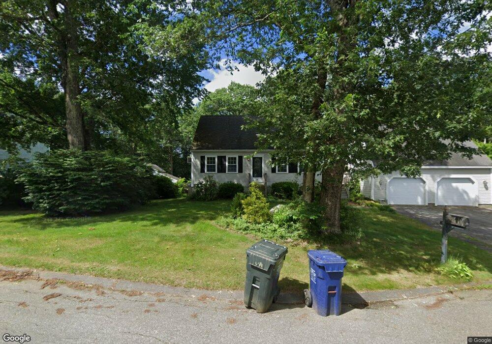
68 Monadnock Ave Dracut, MA 01826
Estimated Value: $541,000 - $705,000
4
Beds
3
Baths
1,428
Sq Ft
$429/Sq Ft
Est. Value
About This Home
This home is located at 68 Monadnock Ave, Dracut, MA 01826 and is currently estimated at $612,784, approximately $429 per square foot. 68 Monadnock Ave is a home located in Middlesex County with nearby schools including Greenmont Avenue School, Richardson Middle School, and Dracut Senior High School.
Ownership History
Date
Name
Owned For
Owner Type
Purchase Details
Closed on
Mar 27, 1992
Sold by
Savlen Lynda A and Skidmore Lynda A
Bought by
Colfer John L and Colfer Kathleen
Current Estimated Value
Create a Home Valuation Report for This Property
The Home Valuation Report is an in-depth analysis detailing your home's value as well as a comparison with similar homes in the area
Home Values in the Area
Average Home Value in this Area
Purchase History
| Date | Buyer | Sale Price | Title Company |
|---|---|---|---|
| Colfer John L | $139,000 | -- |
Source: Public Records
Mortgage History
| Date | Status | Borrower | Loan Amount |
|---|---|---|---|
| Open | Colfer John L | $170,000 | |
| Closed | Colfer John L | $50,000 | |
| Closed | Colfer John L | $124,000 |
Source: Public Records
Tax History
| Year | Tax Paid | Tax Assessment Tax Assessment Total Assessment is a certain percentage of the fair market value that is determined by local assessors to be the total taxable value of land and additions on the property. | Land | Improvement |
|---|---|---|---|---|
| 2025 | $6,226 | $615,200 | $231,800 | $383,400 |
| 2024 | $6,144 | $587,900 | $220,900 | $367,000 |
| 2023 | $5,922 | $511,400 | $192,200 | $319,200 |
| 2022 | $5,812 | $472,900 | $174,800 | $298,100 |
| 2021 | $7,749 | $432,700 | $158,700 | $274,000 |
| 2020 | $5,437 | $407,300 | $154,000 | $253,300 |
| 2019 | $5,628 | $409,300 | $146,600 | $262,700 |
| 2018 | $9,198 | $359,300 | $146,600 | $212,700 |
| 2017 | $6,011 | $359,300 | $146,600 | $212,700 |
| 2016 | $4,584 | $308,900 | $140,900 | $168,000 |
| 2015 | $4,479 | $300,000 | $140,900 | $159,100 |
| 2014 | $4,322 | $298,300 | $140,900 | $157,400 |
Source: Public Records
Map
Nearby Homes
- 1573 Bridge St
- 1563 Bridge St
- 26 Frank St
- 23 Frank St Unit 2
- 173 Greenmont Ave
- 551 Hildreth St Unit 21
- 551 Hildreth St Unit 10
- 12 Tanglewood Dr
- 1391 Bridge St
- 54 Montaup Ave
- 69 Arlington St
- 40 Arlington Ave
- 417 Hildreth St Unit 30
- 5 Esther Way
- 75 Sladen St
- 361 Hildreth St Unit 24
- 367 Hildreth St Unit 33
- 287 Fox Ave
- 175 Willard St Unit 9
- 19 Esther Way Unit Lot 10
- 60 Monadnock Ave
- 61 Monadnock Ave
- 53 Monadnock Ave
- 52 Monadnock Ave
- 27 Tremwood Rd
- 15 Geneva Ave
- 77 Monadnock Ave
- 126 Vermont Ave
- 8 Geneva Ave
- 37 Monadnock Ave
- 9 Craig Ave
- 36 Monadnock Ave
- 120 Vermont Ave
- 26 Tremwood Rd
- 63 Tremwood Rd
- 17 Tremwood Rd
- 116 Vermont Ave
- 119 Vermont Ave
- 119 Vermont Ave
- 8 Craig Ave
Your Personal Tour Guide
Ask me questions while you tour the home.