68 Pace Rd Toccoa, GA 30577
Estimated Value: $338,000 - $740,000
4
Beds
4
Baths
2,886
Sq Ft
$162/Sq Ft
Est. Value
About This Home
This home is located at 68 Pace Rd, Toccoa, GA 30577 and is currently estimated at $468,673, approximately $162 per square foot. 68 Pace Rd is a home located in Stephens County with nearby schools including Stephens County High School and Shepherd's Hill Academy.
Ownership History
Date
Name
Owned For
Owner Type
Purchase Details
Closed on
Mar 30, 2020
Sold by
Greene Tammy C
Bought by
Greene James F
Current Estimated Value
Purchase Details
Closed on
Aug 19, 2002
Bought by
Greene Tammy C and Greene James F
Purchase Details
Closed on
Aug 16, 2002
Bought by
<Buyer Info Not Present>
Purchase Details
Closed on
Oct 1, 1998
Bought by
<Buyer Info Not Present>
Create a Home Valuation Report for This Property
The Home Valuation Report is an in-depth analysis detailing your home's value as well as a comparison with similar homes in the area
Purchase History
| Date | Buyer | Sale Price | Title Company |
|---|---|---|---|
| Greene James F | -- | -- | |
| Greene Tammy C | -- | -- | |
| <Buyer Info Not Present> | -- | -- | |
| <Buyer Info Not Present> | -- | -- |
Source: Public Records
Tax History
| Year | Tax Paid | Tax Assessment Tax Assessment Total Assessment is a certain percentage of the fair market value that is determined by local assessors to be the total taxable value of land and additions on the property. | Land | Improvement |
|---|---|---|---|---|
| 2025 | $4,318 | $190,718 | $5,494 | $185,224 |
| 2024 | $3,863 | $128,869 | $5,494 | $123,375 |
| 2023 | $3,529 | $120,536 | $5,494 | $115,042 |
| 2022 | $3,343 | $114,296 | $5,494 | $108,802 |
| 2021 | $3,269 | $106,544 | $5,494 | $101,050 |
| 2020 | $3,293 | $106,272 | $5,494 | $100,778 |
| 2019 | $3,298 | $106,010 | $5,232 | $100,778 |
| 2018 | $3,289 | $105,713 | $5,232 | $100,481 |
| 2017 | $3,339 | $105,653 | $5,232 | $100,421 |
| 2016 | $3,287 | $105,653 | $5,232 | $100,421 |
| 2015 | $3,451 | $105,912 | $5,232 | $100,680 |
| 2014 | $3,508 | $105,912 | $5,232 | $100,680 |
| 2013 | -- | $107,220 | $6,540 | $100,680 |
Source: Public Records
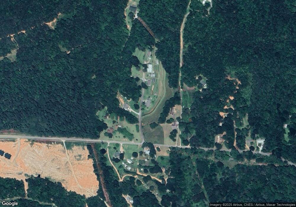
Map
Nearby Homes
- 2986 Defoor Rd
- 0 Scott Rd Unit 10702484
- 884 Swilling Rd
- 2278 Tower Rd
- 2230 Tower Rd
- 0 Hickory Log Cir Unit 7723744
- 0 Hickory Log Cir Unit 7723737
- 0 Hickory Log Cir Unit 10696877
- 0 Hickory Log Cir Unit 10696890
- 0 Hickory Log Cir Unit CL349707
- 0 Hickory Log Cir Unit 10696864
- 0 Hickory Log Cir Unit 7723742
- 0 Hickory Log Cir Unit CL349704
- 0 Hickory Log Cir Unit CL349705
- 219 Eastanollee Rd
- 154 Eastanollee Rd
- 900 Defoor Rd
- 3.35 ACRES Keener Rd
- 290 Indian Dr
- 0 Davis Rd Unit 10694033
- 68 Pace Rd
- 132 Pace Rd
- 63 Pace Rd
- 142 Pace Rd
- 301 Hayes Wilbanks Rd
- 374 Hayes Wilbanks Rd
- 145 Pace Rd
- 465 Hayes Wilbanks Rd
- 509 Hayes Wilbanks Rd
- 326 Hayes Wilbanks Rd
- 547 Hayes Wilbanks Rd
- 565 Hayes Wilbanks Rd
- 593 Hayes Wilbanks Rd
- 593 Hayes Wilbanks Rd
- 2636 Tocca Bypass
- 266 Hayes Wilbanks Rd
- 467 Hayes Wilbanks Rd
- 663 Hayes Wilbanks Rd
- 12 Tulip Trail
- 3805 Defoor Rd
Your Personal Tour Guide
Ask me questions while you tour the home.