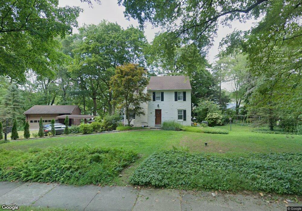
68 S Britton Rd Springfield, PA 19064
Estimated Value: $518,000 - $614,000
3
Beds
3
Baths
1,906
Sq Ft
$289/Sq Ft
Est. Value
About This Home
This home is located at 68 S Britton Rd, Springfield, PA 19064 and is currently estimated at $551,286, approximately $289 per square foot. 68 S Britton Rd is a home located in Delaware County with nearby schools including Springfield High School, St Francis Of Assisi School, and Holy Cross School.
Ownership History
Date
Name
Owned For
Owner Type
Purchase Details
Closed on
Jun 13, 2016
Sold by
Williams Dewight R and Williams Shandry
Bought by
Cheng Kin Wah and Nguyen Phuong
Current Estimated Value
Home Financials for this Owner
Home Financials are based on the most recent Mortgage that was taken out on this home.
Original Mortgage
$280,500
Outstanding Balance
$223,320
Interest Rate
3.58%
Mortgage Type
New Conventional
Estimated Equity
$327,966
Purchase Details
Closed on
May 26, 2011
Sold by
Alston Dorothea V
Bought by
Williams Dewight R and Williams Shandry
Home Financials for this Owner
Home Financials are based on the most recent Mortgage that was taken out on this home.
Original Mortgage
$294,500
Interest Rate
4.81%
Mortgage Type
New Conventional
Purchase Details
Closed on
Jan 20, 2009
Sold by
Alston Calvin G and Alston Dorothea V
Bought by
Alston Dorothea
Create a Home Valuation Report for This Property
The Home Valuation Report is an in-depth analysis detailing your home's value as well as a comparison with similar homes in the area
Home Values in the Area
Average Home Value in this Area
Purchase History
| Date | Buyer | Sale Price | Title Company |
|---|---|---|---|
| Cheng Kin Wah | $330,000 | Attorney | |
| Williams Dewight R | $310,000 | None Available | |
| Alston Dorothea | -- | None Available |
Source: Public Records
Mortgage History
| Date | Status | Borrower | Loan Amount |
|---|---|---|---|
| Open | Cheng Kin Wah | $280,500 | |
| Previous Owner | Williams Dewight R | $294,500 |
Source: Public Records
Tax History
| Year | Tax Paid | Tax Assessment Tax Assessment Total Assessment is a certain percentage of the fair market value that is determined by local assessors to be the total taxable value of land and additions on the property. | Land | Improvement |
|---|---|---|---|---|
| 2025 | $8,638 | $307,310 | $143,340 | $163,970 |
| 2024 | $8,638 | $307,310 | $143,340 | $163,970 |
| 2023 | $8,317 | $307,310 | $143,340 | $163,970 |
| 2022 | $8,137 | $307,310 | $143,340 | $163,970 |
| 2021 | $12,602 | $307,310 | $143,340 | $163,970 |
| 2020 | $8,713 | $192,290 | $68,910 | $123,380 |
| 2019 | $8,509 | $192,290 | $68,910 | $123,380 |
| 2018 | $8,387 | $192,290 | $0 | $0 |
| 2017 | $8,193 | $192,290 | $0 | $0 |
| 2016 | $1,055 | $192,290 | $0 | $0 |
| 2015 | $1,055 | $192,290 | $0 | $0 |
| 2014 | $1,055 | $192,290 | $0 | $0 |
Source: Public Records
Map
Nearby Homes
- 147 Snyder Ln
- 111 Forest Rd
- 606 W Springfield Rd
- 641 W Sproul Rd
- 31 Wayfield Rd
- 120 W Springfield Rd
- 501 Flora Cir
- 364 S Rolling Rd
- 19 Wayne Ave
- 29 School Ln
- 227 E Leamy Ave
- 226 Lynbrooke Rd
- 464 Conard Dr
- 516 Beatty Rd
- 220 N Rolling Rd
- 493 Wheatsheaf Rd
- 34 Schuyler Rd
- 332 Franklin Ave
- 1291 Country Club Dr Unit Q137
- 1299 Country Club Dr Unit Q141
Your Personal Tour Guide
Ask me questions while you tour the home.