68 Trail Haven Dr Unit 68 Londonderry, NH 03053
Estimated Value: $531,870 - $549,000
2
Beds
3
Baths
2,096
Sq Ft
$259/Sq Ft
Est. Value
About This Home
This home is located at 68 Trail Haven Dr Unit 68, Londonderry, NH 03053 and is currently estimated at $542,468, approximately $258 per square foot. 68 Trail Haven Dr Unit 68 is a home located in Rockingham County with nearby schools including Matthew Thornton Elementary School, Londonderry Middle School, and Londonderry Senior High School.
Ownership History
Date
Name
Owned For
Owner Type
Purchase Details
Closed on
May 31, 2018
Sold by
Roussell Alvin J and Roussell Masha T
Bought by
Steven Ft and Steven
Current Estimated Value
Purchase Details
Closed on
Oct 31, 2008
Sold by
Pett Toby S and Metlife Home Loans
Bought by
Federal National Mortgage Association
Create a Home Valuation Report for This Property
The Home Valuation Report is an in-depth analysis detailing your home's value as well as a comparison with similar homes in the area
Home Values in the Area
Average Home Value in this Area
Purchase History
| Date | Buyer | Sale Price | Title Company |
|---|---|---|---|
| Steven Ft | $279,000 | -- | |
| Federal National Mortgage Association | $106,000 | -- |
Source: Public Records
Mortgage History
| Date | Status | Borrower | Loan Amount |
|---|---|---|---|
| Previous Owner | Federal National Mortgage Association | $75,000 |
Source: Public Records
Tax History Compared to Growth
Tax History
| Year | Tax Paid | Tax Assessment Tax Assessment Total Assessment is a certain percentage of the fair market value that is determined by local assessors to be the total taxable value of land and additions on the property. | Land | Improvement |
|---|---|---|---|---|
| 2024 | $7,134 | $442,000 | $0 | $442,000 |
| 2023 | $6,917 | $442,000 | $0 | $442,000 |
| 2022 | $6,649 | $359,800 | $0 | $359,800 |
| 2021 | $6,613 | $359,800 | $0 | $359,800 |
| 2020 | $6,244 | $310,500 | $0 | $310,500 |
| 2019 | $6,021 | $310,500 | $0 | $310,500 |
| 2018 | $5,248 | $292,200 | $0 | $292,200 |
| 2017 | $6,314 | $292,200 | $0 | $292,200 |
| 2016 | $6,373 | $296,400 | $0 | $296,400 |
| 2015 | $5,558 | $264,400 | $0 | $264,400 |
| 2014 | $5,576 | $264,400 | $0 | $264,400 |
| 2011 | -- | $268,400 | $0 | $268,400 |
Source: Public Records
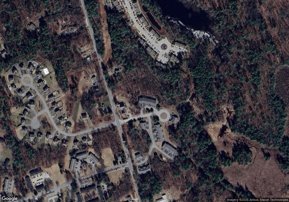
Map
Nearby Homes
- 118 Fieldstone Dr Unit 118
- 193 Fieldstone Dr
- 193 Fieldstone Dr Unit 193
- 169 Fieldstone Dr
- 57 Hardy Rd
- 38 Bartley Hill Rd
- 10 Judy Dr
- 17 Welch Rd
- 50 Bartley Hill Rd
- 20 Wedgewood Dr
- 32 Noyes Rd
- 35 Red Deer Rd
- 224 High Range Rd
- 11 Elise Ave Unit Lot 91
- 27 Buckingham Dr
- 36 Perkins Rd
- 75 Rockingham Rd
- 4 Crestview Cir Unit 119
- 103 Rockingham Rd Unit 1
- 103 Rockingham Rd Unit 2
- 68 Trail Haven Dr
- 67 Trail Haven Dr
- 67 Trail Haven Dr Unit 67
- 69 Trail Haven Dr
- 70 Trail Haven Dr
- 70 Trail Haven Dr Unit 70
- 71 Trail Haven Dr Unit 71
- 72 Trail Haven Dr
- 72 Trail Haven Dr Unit 73
- 390 Mammoth Rd
- 93 Trail Haven Dr
- 11 Trail Haven Dr Unit 11
- 94 Trail Haven Dr Unit 94
- 9 Trail Haven Dr Unit 9
- 7 Trail Haven Dr Unit 7
- 75 Trail Haven Dr Unit 75
- 76 Trail Haven Dr Unit 76
- 76 Trail Haven Dr Unit 76
- 77 Trail Haven Dr Unit 77
- 77 Trail Haven Dr