68 W Point Rd Unit 68 Webster, MA 01570
Estimated Value: $836,000 - $962,000
2
Beds
1
Bath
800
Sq Ft
$1,097/Sq Ft
Est. Value
About This Home
This home is located at 68 W Point Rd Unit 68, Webster, MA 01570 and is currently estimated at $877,441, approximately $1,096 per square foot. 68 W Point Rd Unit 68 is a home located in Worcester County with nearby schools including Park Avenue Elementary School, Webster Middle School, and Bartlett High School.
Ownership History
Date
Name
Owned For
Owner Type
Purchase Details
Closed on
May 17, 2022
Sold by
Bordua Stephen G
Bought by
Bordua Theresa
Current Estimated Value
Purchase Details
Closed on
Oct 31, 2019
Sold by
Harrigan David and Loomis Nancy J
Bought by
Bordua Stephen and Bordua Theresa
Home Financials for this Owner
Home Financials are based on the most recent Mortgage that was taken out on this home.
Original Mortgage
$389,000
Interest Rate
3.65%
Mortgage Type
New Conventional
Create a Home Valuation Report for This Property
The Home Valuation Report is an in-depth analysis detailing your home's value as well as a comparison with similar homes in the area
Home Values in the Area
Average Home Value in this Area
Purchase History
| Date | Buyer | Sale Price | Title Company |
|---|---|---|---|
| Bordua Theresa | -- | None Available | |
| Bordua Stephen | $489,000 | -- |
Source: Public Records
Mortgage History
| Date | Status | Borrower | Loan Amount |
|---|---|---|---|
| Previous Owner | Bordua Stephen | $389,000 |
Source: Public Records
Tax History Compared to Growth
Tax History
| Year | Tax Paid | Tax Assessment Tax Assessment Total Assessment is a certain percentage of the fair market value that is determined by local assessors to be the total taxable value of land and additions on the property. | Land | Improvement |
|---|---|---|---|---|
| 2025 | $9,202 | $774,600 | $389,800 | $384,800 |
| 2024 | $8,640 | $709,400 | $339,200 | $370,200 |
| 2023 | $8,101 | $648,100 | $323,000 | $325,100 |
| 2022 | $6,705 | $480,300 | $287,300 | $193,000 |
| 2021 | $6,932 | $459,100 | $287,300 | $171,800 |
| 2020 | $6,794 | $451,100 | $287,300 | $163,800 |
| 2019 | $6,629 | $432,400 | $287,300 | $145,100 |
| 2018 | $6,430 | $417,800 | $287,300 | $130,500 |
| 2017 | $6,297 | $416,200 | $291,000 | $125,200 |
| 2016 | $5,628 | $371,700 | $250,600 | $121,100 |
| 2015 | $5,351 | $364,500 | $245,700 | $118,800 |
Source: Public Records
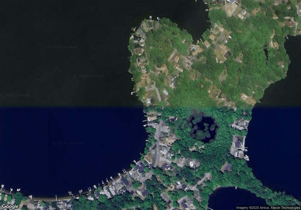
Map
Nearby Homes
- 68 W Point Rd
- 70 W Point Rd
- 66 W Point Rd
- 166 Killdeer Island Rd
- 64 W Point Rd
- 62 W Point Rd
- 168 Killdeer Island Rd
- 152 Killdeer Island Rd
- 165 Killdeer Rd
- 60 W Point Rd
- 167 Killdeer Rd
- 163 Killdeer Island Rd
- 150 Killdeer Island Rd
- 61 W Point Rd
- 167 Killdeer Island Rd
- 58 W Point Rd
- 174 Killdeer Island Rd
- 148 Killdeer Island Rd
- 169 Killdeer Island Rd
- 169 Killdeer Rd