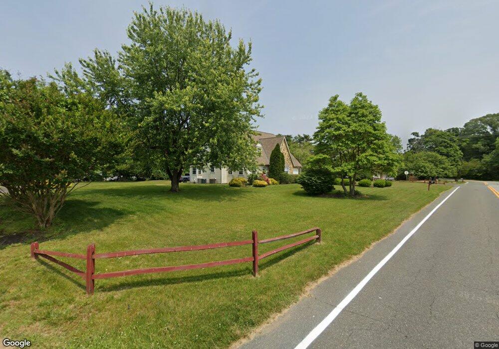
68 W Wolfert Station Rd Mickleton, NJ 08056
East Greenwich AreaEstimated Value: $633,467 - $752,000
About This Home
This home is located at 68 W Wolfert Station Rd, Mickleton, NJ 08056 and is currently estimated at $704,367, approximately $222 per square foot. 68 W Wolfert Station Rd is a home located in Gloucester County with nearby schools including Jeffrey Clark School, Samuel Mickle School, and Kingsway Regional Middle School.
Ownership History
We collect this data history from publicly available records. To have your information removed, we recommend requesting removal directly through your county’s website.
Purchase Details
Purchase Details
Home Values in the Area
Average Home Value in this Area
Purchase History
We collect this data history from publicly available records. To have your information removed, we recommend requesting removal directly through your county’s website.
| Date | Buyer | Sale Price | Title Company |
|---|---|---|---|
| $56,000 | Intercoastal Title Agency In | ||
| $25,000 | Intercoastal Title Agency In |
Tax History
We collect this data history from publicly available records. To have your information removed, we recommend requesting removal directly through your county’s website.
| Year | Tax Paid | Tax Assessment Tax Assessment Total Assessment is a certain percentage of the fair market value that is determined by local assessors to be the total taxable value of land and additions on the property. | Land | Improvement |
|---|---|---|---|---|
| 2026 | $11,008 | $345,400 | $97,600 | $247,800 |
| 2025 | $11,008 | $345,400 | $97,600 | $247,800 |
| 2024 | $10,631 | $345,400 | $97,600 | $247,800 |
| 2023 | $10,631 | $345,400 | $97,600 | $247,800 |
| 2022 | $10,331 | $345,400 | $97,600 | $247,800 |
| 2021 | $9,313 | $345,400 | $97,600 | $247,800 |
| 2020 | $10,448 | $345,400 | $97,600 | $247,800 |
| 2019 | $10,341 | $345,400 | $97,600 | $247,800 |
| 2018 | $10,184 | $308,900 | $74,500 | $234,400 |
| 2017 | $10,052 | $308,900 | $74,500 | $234,400 |
| 2016 | $9,684 | $308,900 | $74,500 | $234,400 |
| 2015 | $9,477 | $315,600 | $74,500 | $241,100 |
| 2014 | $8,877 | $315,600 | $74,500 | $241,100 |
Map
- 4 Randolph Ct
- 710 Nicole Dr
- 68 W Tomlin Station Rd
- 71 W Tomlin Station Rd
- 49 W Tomlin Station Rd
- 51 Forage Dr
- 705 Elaine Dr
- 0 Tomlin Station Rd Unit NJGL2061600
- 50 Mill Rd
- 542 Kings Hwy
- 120 Asbury Station Rd
- 76 E Tomlin Station Rd
- 159 Mill Rd
- 314 Salarno Ct
- 742 Union Rd
- 104 Tuscan Ln
- 55 Woodbury Ct
- 112 Waterford Way
- 10 & 26 Garwin Rd
- 10 & 26 Garwin Rd
- 201 Bartlett Dr
- 203 Bartlett Dr
- 7 Campbell Ct
- 5 Campbell Ct
- 62 W Wolfert Station Rd
- 205 Bartlett Dr
- 3 Campbell Ct
- 61 W Wolfert Station Rd
- 207 Bartlett Dr
- 139 Quaker Rd
- 1 Campbell Ct
- 200 Smallwood Dr
- 6 Campbell Ct
- 4 Campbell Ct
- 209 Bartlett Dr
- 201 Smallwood Dr
- 201 Smallwood Dr Unit 92
- 202 Smallwood Dr
- 2 Campbell Ct
- 211 Bartlett Dr
Ask me questions while you tour the home.