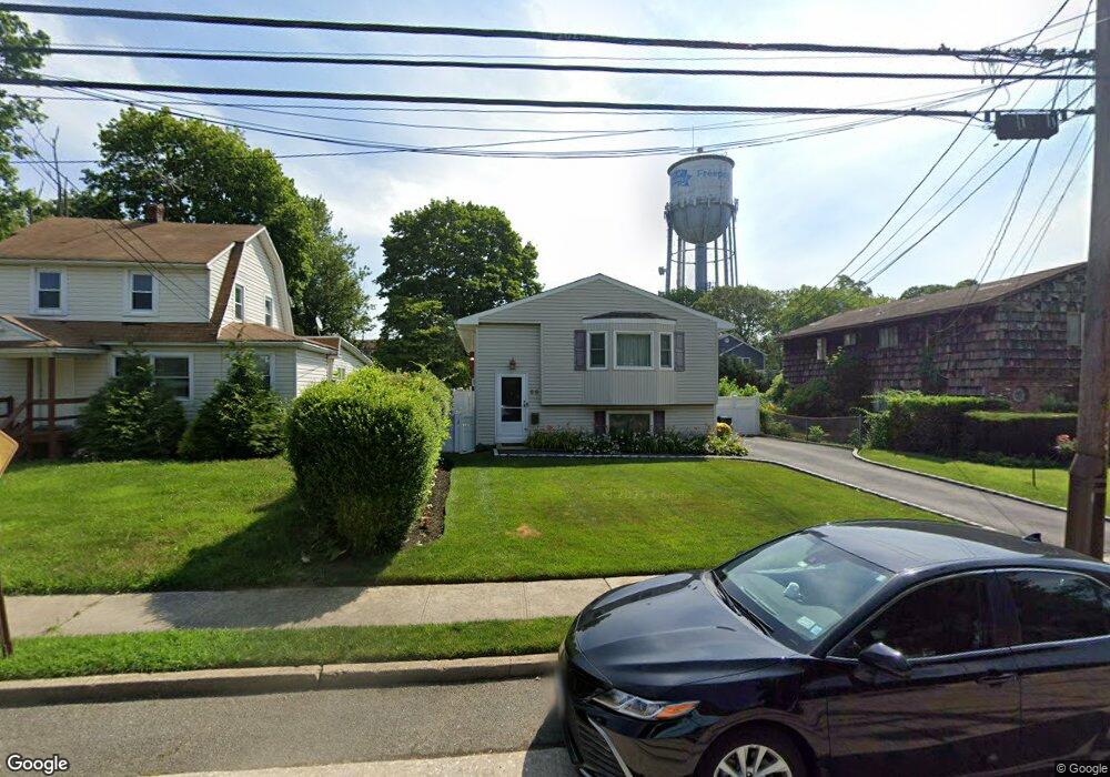
68 Weberfield Ave Freeport, NY 11520
Estimated Value: $465,000 - $644,991
--
Bed
2
Baths
1,187
Sq Ft
$468/Sq Ft
Est. Value
About This Home
This home is located at 68 Weberfield Ave, Freeport, NY 11520 and is currently estimated at $554,996, approximately $467 per square foot. 68 Weberfield Ave is a home located in Nassau County with nearby schools including Columbus Avenue School, Caroline G. Atkinson Intermediate School, and John W Dodd Middle School.
Ownership History
Date
Name
Owned For
Owner Type
Purchase Details
Closed on
Feb 25, 2000
Sold by
Ses Realty Corp
Bought by
Mccune Ronnie V and Mccune Darlene B
Current Estimated Value
Home Financials for this Owner
Home Financials are based on the most recent Mortgage that was taken out on this home.
Original Mortgage
$166,250
Outstanding Balance
$55,898
Interest Rate
8.18%
Mortgage Type
Purchase Money Mortgage
Estimated Equity
$499,098
Purchase Details
Closed on
Dec 16, 1999
Sold by
Powell Jocelyn F and Powell Owen A
Bought by
Ses Realty Corp
Create a Home Valuation Report for This Property
The Home Valuation Report is an in-depth analysis detailing your home's value as well as a comparison with similar homes in the area
Home Values in the Area
Average Home Value in this Area
Purchase History
| Date | Buyer | Sale Price | Title Company |
|---|---|---|---|
| Mccune Ronnie V | $175,000 | -- | |
| Ses Realty Corp | $141,000 | -- |
Source: Public Records
Mortgage History
| Date | Status | Borrower | Loan Amount |
|---|---|---|---|
| Open | Mccune Ronnie V | $166,250 |
Source: Public Records
Tax History Compared to Growth
Tax History
| Year | Tax Paid | Tax Assessment Tax Assessment Total Assessment is a certain percentage of the fair market value that is determined by local assessors to be the total taxable value of land and additions on the property. | Land | Improvement |
|---|---|---|---|---|
| 2025 | $7,254 | $378 | $149 | $229 |
| 2024 | $867 | $378 | $149 | $229 |
| 2023 | $7,419 | $378 | $149 | $229 |
| 2022 | $7,419 | $378 | $149 | $229 |
| 2021 | $11,589 | $362 | $143 | $219 |
| 2020 | $8,642 | $682 | $378 | $304 |
| 2019 | $8,698 | $682 | $378 | $304 |
| 2018 | $8,439 | $682 | $0 | $0 |
| 2017 | $6,808 | $682 | $378 | $304 |
| 2016 | $7,831 | $682 | $378 | $304 |
| 2015 | $985 | $682 | $378 | $304 |
| 2014 | $985 | $682 | $378 | $304 |
| 2013 | $931 | $682 | $378 | $304 |
Source: Public Records
Map
Nearby Homes
- 78 Jesse St
- 268 Grand Ave
- 251 Grand Ave
- 45 Lakeview Ave
- 6 Frederick Ave
- 221 E Dean St
- 182 Grand Ave
- 96 N Columbus Ave
- 98 N Columbus Ave
- 451 Babylon Turnpike
- 173 E Seaman Ave
- 1938 Meadowbrook Rd
- 272 N Columbus Ave
- 259 N Columbus Ave
- 1729 Gormley Ave
- 1707 Carroll Ave
- 26 Rosedale Ave
- 238 Babylon Turnpike
- 184 Independence Ave
- 112 E Seaman Ave
- 64 Weberfield Ave
- 80 Weberfield Ave
- 131 Lakeview Ave
- 137 Lakeview Ave
- 75 Jesse St
- 139 Lakeview Ave
- 77 Jesse St
- 145 Lakeview Ave
- 82 Weberfield Ave
- 57 Weberfield Ave
- 57 Weberfield Ave
- 83 Weberfield Ave
- 65 Weberfield Ave
- 147 Lakeview Ave
- 88 Weberfield Ave
- 46 Weberfield Ave
- 31 Gill Ave
- 161 Lakeview Ave
- 74 Jesse St
- 93 Weberfield Ave