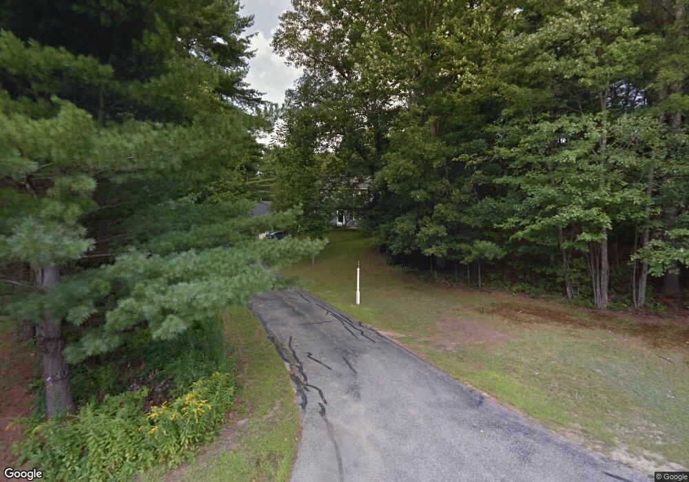
68 Wentworth Dr Bedford, NH 03110
Bedford NeighborhoodEstimated Value: $631,000 - $681,000
3
Beds
3
Baths
1,764
Sq Ft
$370/Sq Ft
Est. Value
About This Home
This home is located at 68 Wentworth Dr, Bedford, NH 03110 and is currently estimated at $653,031, approximately $370 per square foot. 68 Wentworth Dr is a home located in Hillsborough County with nearby schools including Mckelvie Intermediate School, Ross A. Lurgio Middle School, and Bedford High School.
Ownership History
Date
Name
Owned For
Owner Type
Purchase Details
Closed on
Jun 22, 2018
Sold by
Moore Rosanne L
Bought by
F Walter
Current Estimated Value
Purchase Details
Closed on
Jan 24, 1992
Bought by
Moore Rosanne L
Create a Home Valuation Report for This Property
The Home Valuation Report is an in-depth analysis detailing your home's value as well as a comparison with similar homes in the area
Home Values in the Area
Average Home Value in this Area
Purchase History
| Date | Buyer | Sale Price | Title Company |
|---|---|---|---|
| F Walter | -- | -- | |
| Moore Rosanne L | $4,000 | -- |
Source: Public Records
Mortgage History
| Date | Status | Borrower | Loan Amount |
|---|---|---|---|
| Previous Owner | Moore Rosanne L | $70,000 | |
| Previous Owner | Moore Rosanne L | $25,000 |
Source: Public Records
Tax History Compared to Growth
Tax History
| Year | Tax Paid | Tax Assessment Tax Assessment Total Assessment is a certain percentage of the fair market value that is determined by local assessors to be the total taxable value of land and additions on the property. | Land | Improvement |
|---|---|---|---|---|
| 2024 | $9,926 | $627,800 | $248,000 | $379,800 |
| 2023 | $9,291 | $627,800 | $248,000 | $379,800 |
| 2022 | $8,422 | $478,500 | $183,700 | $294,800 |
| 2021 | $8,201 | $478,500 | $183,700 | $294,800 |
| 2020 | $7,896 | $394,400 | $134,200 | $260,200 |
| 2019 | $7,474 | $394,400 | $134,200 | $260,200 |
| 2018 | $7,499 | $367,600 | $134,200 | $233,400 |
| 2017 | $6,951 | $367,600 | $134,200 | $233,400 |
| 2016 | $6,852 | $306,300 | $107,000 | $199,300 |
| 2015 | $6,971 | $306,300 | $107,000 | $199,300 |
| 2014 | $6,892 | $306,300 | $107,000 | $199,300 |
| 2013 | $6,791 | $306,300 | $107,000 | $199,300 |
Source: Public Records
Map
Nearby Homes
- 79 Woodward Rd
- 453 Route 101
- 44 McQuade Brook Rd
- 4 Miriam Rd
- 5 Carter Rd
- 2 Baxter Ln
- 29 Brieann Dr
- 10 Winterberry Dr
- 52 Hardy Rd
- 276 N Amherst Rd
- 301 N Amherst Rd
- 4 Milford St
- 258 N Amherst Rd Unit 34
- 101 Horace Greeley Rd
- 40 Seton Dr
- 20 Jakes Ln
- 10 Colman Path
- 16 Summit Rd
- 56 Greenfield Pkwy
- 40 Strafford Ln
- 74 Wentworth Dr
- 78 Wentworth Dr
- 75 Wentworth Dr
- 62 Wentworth Dr
- 67 Wentworth Dr
- 79 Wentworth Dr
- 59 Wentworth Dr
- 63 Wentworth Dr
- 82 Wentworth Dr
- 71 Wentworth Dr
- 56 Wentworth Dr
- 65 Grafton Dr
- 83 Wentworth Dr
- 69 Grafton Dr
- 55 Wentworth Dr
- 88 Wentworth Dr
- 52 Wentworth Dr
- 87 Wentworth Dr
- 18 Huntington Ridge Rd
- 17 Huntington Ridge Rd