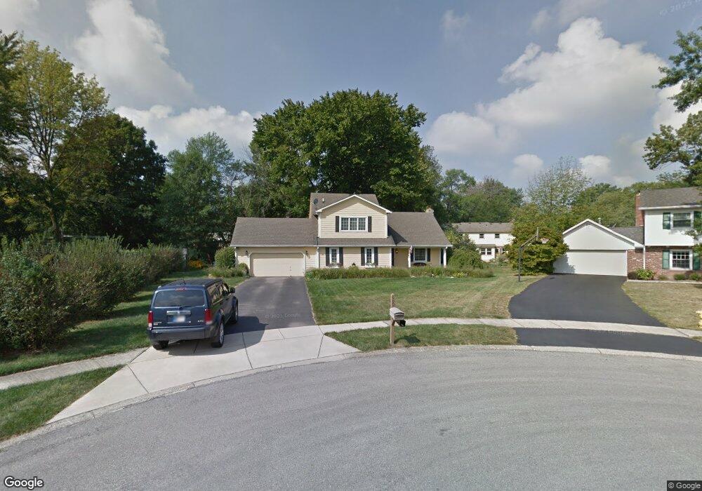
680 Carson Ct Carmel, IN 46033
East Carmel NeighborhoodEstimated Value: $449,502 - $502,000
4
Beds
2
Baths
3,242
Sq Ft
$144/Sq Ft
Est. Value
About This Home
This home is located at 680 Carson Ct, Carmel, IN 46033 and is currently estimated at $467,376, approximately $144 per square foot. 680 Carson Ct is a home located in Hamilton County with nearby schools including Cherry Tree Elementary School, Clay Middle School, and Carmel High School.
Ownership History
Date
Name
Owned For
Owner Type
Purchase Details
Closed on
Mar 22, 2007
Sold by
Lasalle Bank Na
Bought by
Adkins Wayne E and Adkins Anita E
Current Estimated Value
Home Financials for this Owner
Home Financials are based on the most recent Mortgage that was taken out on this home.
Original Mortgage
$149,200
Outstanding Balance
$88,609
Interest Rate
6.19%
Mortgage Type
Unknown
Estimated Equity
$378,767
Purchase Details
Closed on
Feb 6, 2007
Sold by
Swanson Susan and Swanson Steve
Bought by
Lasalle Bank Na and Asset Backed Funding Corp
Home Financials for this Owner
Home Financials are based on the most recent Mortgage that was taken out on this home.
Original Mortgage
$149,200
Outstanding Balance
$88,609
Interest Rate
6.19%
Mortgage Type
Unknown
Estimated Equity
$378,767
Create a Home Valuation Report for This Property
The Home Valuation Report is an in-depth analysis detailing your home's value as well as a comparison with similar homes in the area
Home Values in the Area
Average Home Value in this Area
Purchase History
| Date | Buyer | Sale Price | Title Company |
|---|---|---|---|
| Adkins Wayne E | -- | Statewide Title Company Inc | |
| Lasalle Bank Na | $187,000 | None Available |
Source: Public Records
Mortgage History
| Date | Status | Borrower | Loan Amount |
|---|---|---|---|
| Open | Adkins Wayne E | $149,200 |
Source: Public Records
Tax History
| Year | Tax Paid | Tax Assessment Tax Assessment Total Assessment is a certain percentage of the fair market value that is determined by local assessors to be the total taxable value of land and additions on the property. | Land | Improvement |
|---|---|---|---|---|
| 2025 | $2,813 | $285,800 | $101,200 | $184,600 |
| 2024 | $2,813 | $273,300 | $101,200 | $172,100 |
| 2023 | $2,725 | $273,300 | $101,200 | $172,100 |
| 2022 | $3,416 | $301,600 | $87,400 | $214,200 |
| 2021 | $3,180 | $283,200 | $87,400 | $195,800 |
| 2020 | $2,833 | $254,200 | $87,400 | $166,800 |
| 2019 | $2,816 | $255,800 | $54,200 | $201,600 |
| 2018 | $2,577 | $239,800 | $54,200 | $185,600 |
| 2017 | $2,613 | $243,200 | $54,200 | $189,000 |
| 2016 | $2,422 | $231,500 | $54,200 | $177,300 |
| 2014 | $2,177 | $220,800 | $45,400 | $175,400 |
| 2013 | $2,177 | $210,600 | $45,400 | $165,200 |
Source: Public Records
Map
Nearby Homes
- 727 Johnson Dr
- 329 4th Ct E
- 1260 Driftwood Dr
- 13082 Andover Dr
- 4904 Deer Ridge Dr S
- 13727 Smokey Ridge Overlook
- 4843 Essex Ct
- 14311 Devonport Dr
- 1490 Warwick Ct
- 14340 Sydney Ln
- 4967 Deer Ridge Dr N
- 13035 Wembly Rd
- 12854 Brookshire Pkwy
- 4314 Worchester Ct
- 233 Brierley Way
- 2945 Millgate Dr
- 12723 Wembly Rd
- 12883 Harrison Dr
- 5450 Woodfield Way
- 1419 Douglas Dr
Your Personal Tour Guide
Ask me questions while you tour the home.