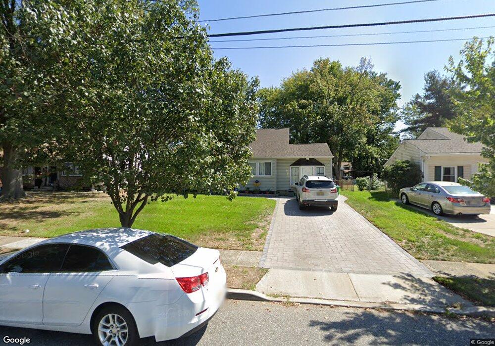
680 Carter Ave West Deptford, NJ 08096
West Deptford Township NeighborhoodEstimated Value: $302,123 - $410,000
--
Bed
--
Bath
2,092
Sq Ft
$181/Sq Ft
Est. Value
About This Home
This home is located at 680 Carter Ave, West Deptford, NJ 08096 and is currently estimated at $378,281, approximately $180 per square foot. 680 Carter Ave is a home located in Gloucester County with nearby schools including Oakview Elementary School, Red Bank Elementary School, and Green-Fields Elementary School.
Ownership History
Date
Name
Owned For
Owner Type
Purchase Details
Closed on
Apr 10, 2004
Sold by
Connelly William M
Bought by
Connelly William M and Connelly Sherry
Current Estimated Value
Home Financials for this Owner
Home Financials are based on the most recent Mortgage that was taken out on this home.
Original Mortgage
$127,500
Interest Rate
5.58%
Mortgage Type
New Conventional
Purchase Details
Closed on
May 8, 2000
Sold by
Connelly William M and Aubrey Tina M
Bought by
Connelly William M
Create a Home Valuation Report for This Property
The Home Valuation Report is an in-depth analysis detailing your home's value as well as a comparison with similar homes in the area
Home Values in the Area
Average Home Value in this Area
Purchase History
| Date | Buyer | Sale Price | Title Company |
|---|---|---|---|
| Connelly William M | -- | -- | |
| Connelly William M | -- | -- |
Source: Public Records
Mortgage History
| Date | Status | Borrower | Loan Amount |
|---|---|---|---|
| Closed | Connelly William M | $127,500 |
Source: Public Records
Tax History Compared to Growth
Tax History
| Year | Tax Paid | Tax Assessment Tax Assessment Total Assessment is a certain percentage of the fair market value that is determined by local assessors to be the total taxable value of land and additions on the property. | Land | Improvement |
|---|---|---|---|---|
| 2025 | $7,012 | $200,800 | $57,200 | $143,600 |
| 2024 | $6,922 | $200,800 | $57,200 | $143,600 |
| 2023 | $6,922 | $200,800 | $57,200 | $143,600 |
| 2022 | $6,889 | $200,800 | $57,200 | $143,600 |
| 2021 | $6,865 | $200,800 | $57,200 | $143,600 |
| 2020 | $6,849 | $200,800 | $57,200 | $143,600 |
| 2019 | $6,659 | $200,800 | $57,200 | $143,600 |
| 2018 | $6,478 | $200,800 | $57,200 | $143,600 |
| 2017 | $6,327 | $200,800 | $57,200 | $143,600 |
| 2016 | $6,151 | $200,800 | $57,200 | $143,600 |
| 2015 | $5,859 | $200,800 | $57,200 | $143,600 |
| 2014 | $5,568 | $200,800 | $57,200 | $143,600 |
Source: Public Records
Map
Nearby Homes
- 193 Dubois Ave
- 654 Frances Ave
- 210 Lawnton Ave
- 302 W Red Bank Ave
- 815 Harker Ave
- 131 Watkins Ave
- 7 Victorian Way
- 3 Victorian Way
- 2 Victorian Way
- 46 Lynn Dr
- 121 Crescent Ave
- 83 Lynn Dr
- 70 Crescent Ave
- 1029 Tatum St
- 120 Progress Ave
- 38 Watkins Ave
- 112 Progress Ave
- 41 Crescent Ave
- 17 Watkins Ave
- 1174 Harker Ave
- 672 Carter Ave
- 690 Carter Ave
- 700 Carter Ave
- 230 Walnut St
- 681 Shields Ave
- 691 Shields Ave
- 673 Shields Ave
- 710 Carter Ave
- 701 Shields Ave
- 667 Shields Ave
- 681 Carter Ave
- 691 Carter Ave
- 673 Carter Ave
- 655 Carter Ave
- 720 Carter Ave
- 701 Carter Ave
- 711 Shields Ave
- 206 Walnut St
- 711 Carter Ave
- 231 Walnut St