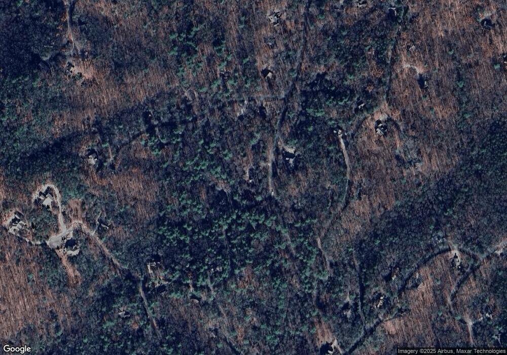
680 Cherokee Trail Sautee Nacoochee, GA 30571
Estimated Value: $376,264 - $470,000
3
Beds
2
Baths
2,128
Sq Ft
$195/Sq Ft
Est. Value
About This Home
This home is located at 680 Cherokee Trail, Sautee Nacoochee, GA 30571 and is currently estimated at $415,816, approximately $195 per square foot. 680 Cherokee Trail is a home located in White County with nearby schools including Mount Yonah Elementary School, White County 9th Grade Academy, and White County Middle School.
Ownership History
Date
Name
Owned For
Owner Type
Purchase Details
Closed on
Sep 3, 2009
Sold by
Rutzky Ivy
Bought by
Rutzky Ivy
Current Estimated Value
Purchase Details
Closed on
Feb 24, 2009
Sold by
Anglin Scott
Bought by
Rutzky Ivy Sky
Home Financials for this Owner
Home Financials are based on the most recent Mortgage that was taken out on this home.
Original Mortgage
$142,000
Interest Rate
5.14%
Mortgage Type
New Conventional
Create a Home Valuation Report for This Property
The Home Valuation Report is an in-depth analysis detailing your home's value as well as a comparison with similar homes in the area
Home Values in the Area
Average Home Value in this Area
Purchase History
| Date | Buyer | Sale Price | Title Company |
|---|---|---|---|
| Rutzky Ivy | -- | -- | |
| Rutzky Ivy Sky | $242,000 | -- |
Source: Public Records
Mortgage History
| Date | Status | Borrower | Loan Amount |
|---|---|---|---|
| Previous Owner | Rutzky Ivy Sky | $142,000 |
Source: Public Records
Tax History Compared to Growth
Tax History
| Year | Tax Paid | Tax Assessment Tax Assessment Total Assessment is a certain percentage of the fair market value that is determined by local assessors to be the total taxable value of land and additions on the property. | Land | Improvement |
|---|---|---|---|---|
| 2025 | $2,038 | $113,396 | $14,400 | $98,996 |
| 2024 | $2,038 | $112,436 | $13,440 | $98,996 |
| 2023 | $1,648 | $99,592 | $13,440 | $86,152 |
| 2022 | $1,993 | $87,968 | $13,440 | $74,528 |
| 2021 | $1,901 | $72,924 | $13,440 | $59,484 |
| 2020 | $1,856 | $67,940 | $13,440 | $54,500 |
| 2019 | $1,862 | $67,940 | $13,440 | $54,500 |
| 2018 | $1,862 | $67,940 | $13,440 | $54,500 |
| 2017 | $1,852 | $68,208 | $15,360 | $52,848 |
| 2016 | $1,853 | $68,208 | $15,360 | $52,848 |
| 2015 | $1,768 | $170,520 | $15,360 | $52,848 |
| 2014 | $1,700 | $163,900 | $0 | $0 |
Source: Public Records
Map
Nearby Homes
- 166 Quail Point
- 988 Woodland
- 231 Laurelwood
- 66 Indian Trail
- 6X Laurelwood
- 168 Cherokee Trail
- 73 Brentwood Ct
- 4 Lower Gap Rd
- 1127 Sautee Trail
- 45K Blue Ridge Dr
- 916 Sautee Trail
- Lot 17 Lower Gap Rd Unit 17
- Lot 17 Lower Gap Rd
- 0 Grimes Nose Unit 40
- 1546 Woodbrier
- 725 Blue Ridge Dr
- 0 Lower Gap Rd Unit LOWR GAP
- 0 Pinecrest Rd Unit 7510515
- 0 Pinecrest Rd Unit 10441953
- 222 Blue Ridge Dr
- 646 Cherokee Trail
- 36 Muir Dr Unit P13
- 36 Muir Dr
- 36 Muir Dr Unit P-18
- 35 Muir Dr
- 753 Cherokee Trail
- 637 Cherokee Trail Unit Q12-13
- 40 Muir Dr
- 53 Quail Point
- 514 Doe Run
- 610 Cherokee Trail
- 133 Quail Point
- 133 Quail Point Unit P 12
- 107 Quail Point
- 160 Muir Dr
- 605 Cherokee Trail
- 125 Muir Dr Unit P31
- 125 Muir Dr
- 460 Doe Run
- 167 Quail Point
