680 Garfield Rd West Branch, IA 52358
Estimated Value: $471,000 - $703,449
5
Beds
2
Baths
2,641
Sq Ft
$209/Sq Ft
Est. Value
About This Home
This home is located at 680 Garfield Rd, West Branch, IA 52358 and is currently estimated at $553,150, approximately $209 per square foot. 680 Garfield Rd is a home located in Cedar County with nearby schools including Hoover Elementary School, West Branch Middle School, and West Branch High School.
Ownership History
Date
Name
Owned For
Owner Type
Purchase Details
Closed on
Oct 6, 2010
Sold by
Midwestone Bank
Bought by
Leach Todd
Current Estimated Value
Home Financials for this Owner
Home Financials are based on the most recent Mortgage that was taken out on this home.
Original Mortgage
$37,500
Interest Rate
4.36%
Mortgage Type
New Conventional
Create a Home Valuation Report for This Property
The Home Valuation Report is an in-depth analysis detailing your home's value as well as a comparison with similar homes in the area
Home Values in the Area
Average Home Value in this Area
Purchase History
| Date | Buyer | Sale Price | Title Company |
|---|---|---|---|
| Leach Todd | $250,000 | None Available |
Source: Public Records
Mortgage History
| Date | Status | Borrower | Loan Amount |
|---|---|---|---|
| Closed | Leach Todd | $37,500 | |
| Open | Leach Todd | $200,000 |
Source: Public Records
Tax History Compared to Growth
Tax History
| Year | Tax Paid | Tax Assessment Tax Assessment Total Assessment is a certain percentage of the fair market value that is determined by local assessors to be the total taxable value of land and additions on the property. | Land | Improvement |
|---|---|---|---|---|
| 2025 | $7,262 | $662,040 | $234,700 | $427,340 |
| 2024 | $7,262 | $577,650 | $182,160 | $395,490 |
| 2023 | $6,686 | $542,610 | $182,160 | $360,450 |
| 2022 | $5,542 | $397,130 | $101,160 | $295,970 |
| 2021 | $5,318 | $397,130 | $101,160 | $295,970 |
| 2020 | $5,170 | $353,000 | $89,920 | $263,080 |
| 2019 | $4,552 | $347,190 | $89,920 | $263,080 |
| 2018 | $5,034 | $391,290 | $0 | $0 |
| 2017 | $4,514 | $318,780 | $0 | $0 |
| 2016 | $4,528 | $318,780 | $0 | $0 |
| 2015 | $4,578 | $318,780 | $0 | $0 |
| 2014 | $4,434 | $318,780 | $0 | $0 |
Source: Public Records
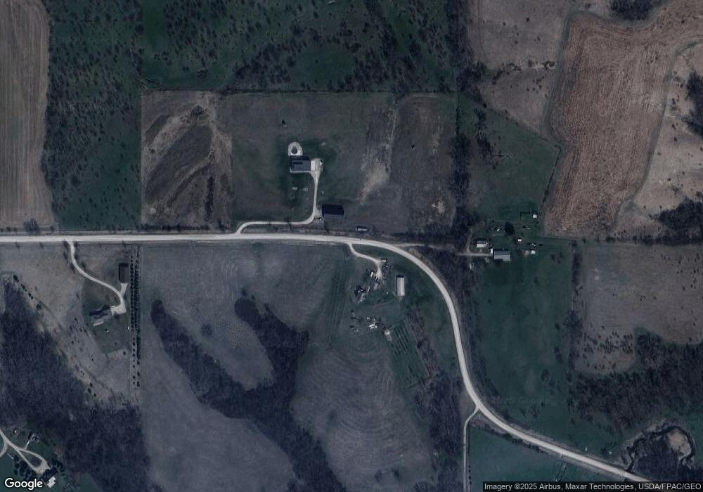
Map
Nearby Homes
- 896 Daulton Dr
- 325 Elm St
- 0 Pleasant View Dr Parcel
- 1062 Oak View Ct
- T.B.D. 275th St
- 1908 Charles Ave Lot 2
- 1912 Charles Ave Lot 3
- 1924 Charles Ave Lot 6
- 1928 Charles Ave Lot 7
- 1932 Charles Ave Lot 8
- 105 Alliance Dr
- 1904 Charles Ave
- 168 290th St
- 12 Bradley Ln Unit AB12
- 63 Eisenhower St Unit GB63
- 27 Bradley Ln Unit AC27
- 557 N 4th St
- 521 N 4th St Unit Louise Court Condos
- 201 Sand Trap Cir
- 3 Grant St Unit GR3
- 646 Garfield Rd
- 0 Garfield Rd
- 38 Grant Ave Unit GR38
- 660 Garfield Rd
- 639 Garfield Rd
- 640 Garfield Rd
- 673 Garfield Rd
- 637 Garfield Rd
- 625 Garfield Rd
- 1670* Garfield Ave
- 1668* Garfield Ave
- 1701 Grant Ave
- 1668 Garfield Ave
- 1670 Garfield Ave
- 1667 Garfield Ave
- 1673 Garfield Ave
- 1556 Garfield Ave
- 576 260th St
- 1681 Garfield Ave
- 1550 Garfield Ave