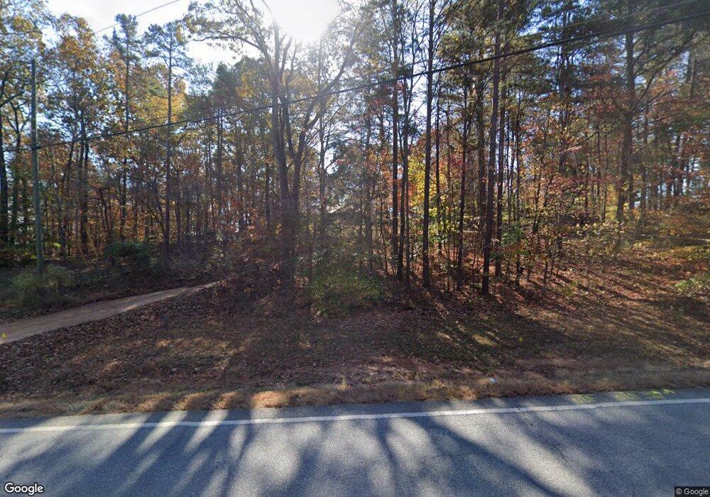
680 Price Rd Dawsonville, GA 30534
Dawson County NeighborhoodEstimated Value: $307,000 - $353,000
--
Bed
2
Baths
1,428
Sq Ft
$229/Sq Ft
Est. Value
About This Home
This home is located at 680 Price Rd, Dawsonville, GA 30534 and is currently estimated at $326,453, approximately $228 per square foot. 680 Price Rd is a home located in Dawson County with nearby schools including Kilough Elementary School, Dawson County Middle School, and Dawson County Junior High School.
Ownership History
Date
Name
Owned For
Owner Type
Purchase Details
Closed on
Jul 29, 2003
Sold by
Myers Pamela D
Bought by
Myers Pamela D and Myers David K
Current Estimated Value
Purchase Details
Closed on
Feb 10, 1999
Sold by
Coleman James
Bought by
Myers Pamela D
Purchase Details
Closed on
Nov 23, 1994
Sold by
Hemrick Mary Christi
Bought by
Coleman James R
Purchase Details
Closed on
Jul 1, 1994
Sold by
Young Mike and Young Mary C
Bought by
Hemrick Mary Christi
Purchase Details
Closed on
Apr 4, 1994
Sold by
Coleman James R
Bought by
Collins Johnny
Purchase Details
Closed on
Feb 11, 1992
Sold by
Dwm Inc
Bought by
Young Mike and Young Mary C
Create a Home Valuation Report for This Property
The Home Valuation Report is an in-depth analysis detailing your home's value as well as a comparison with similar homes in the area
Home Values in the Area
Average Home Value in this Area
Purchase History
| Date | Buyer | Sale Price | Title Company |
|---|---|---|---|
| Myers Pamela D | -- | -- | |
| Myers Pamela D | $90,000 | -- | |
| Coleman James R | $67,800 | -- | |
| Hemrick Mary Christi | -- | -- | |
| Collins Johnny | $35,400 | -- | |
| Young Mike | $44,000 | -- |
Source: Public Records
Tax History Compared to Growth
Tax History
| Year | Tax Paid | Tax Assessment Tax Assessment Total Assessment is a certain percentage of the fair market value that is determined by local assessors to be the total taxable value of land and additions on the property. | Land | Improvement |
|---|---|---|---|---|
| 2024 | $1,823 | $114,104 | $20,000 | $94,104 |
| 2023 | $1,823 | $121,264 | $20,000 | $101,264 |
| 2022 | $1,420 | $68,280 | $16,000 | $52,280 |
| 2021 | $1,263 | $57,840 | $16,000 | $41,840 |
| 2020 | $1,325 | $58,000 | $16,000 | $42,000 |
| 2019 | $1,159 | $50,560 | $16,000 | $34,560 |
| 2018 | $1,161 | $50,560 | $16,000 | $34,560 |
| 2017 | $991 | $43,450 | $10,000 | $33,450 |
| 2016 | $913 | $40,186 | $10,000 | $30,186 |
| 2015 | $943 | $40,186 | $10,000 | $30,186 |
| 2014 | $861 | $35,778 | $10,000 | $25,778 |
| 2013 | -- | $29,874 | $8,000 | $21,874 |
Source: Public Records
Map
Nearby Homes
- 89 Silver Fox Dr
- 173 Mountainside Dr E
- 57 Toto Dr
- 12 Springleaf Way
- 22 Springleaf Way
- 31 Briarwood Dr W
- Savoy Plan at Creekside
- Pearson Plan at Creekside
- Hampstead Plan at Creekside
- 94 Dawson Dr
- 131 Plantation Dr
- 88 Toto Creek Dr W
- 187 Oak Creek Dr
- 289 Chestatee View Dr
- 56 Knollwood Ct
- 75 Stoneridge Ct
- 59 Lumpkin Ln
- 145 Dogwood Way
- 87 Carsons Creek Dr
- 706 Price Rd
- 722 Price Rd
- 33 Grant Trail
- 51 Grant Trail
- 131 Grant Trail
- 67 Grant Trail
- 167 Grant Trail Unit 5
- 167 Grant Trail
- 46 Grant Ford Dr
- 121 Grant Trail
- 121 Grant Trail
- 754 Price Rd
- 0 Grant Ford Dr Unit 6033812
- 0 Grant Ford Dr Unit 3137824
- 0 Grant Ford Dr Unit 5860121
- 0 Grant Ford Dr Unit CM925811
- 0 Grant Ford Dr Unit 7189843
- 0 Grant Ford Dr Unit 10143109
- 0 Grant Ford Dr Unit 8905454
- 0 Grant Ford Dr Unit 6853688
