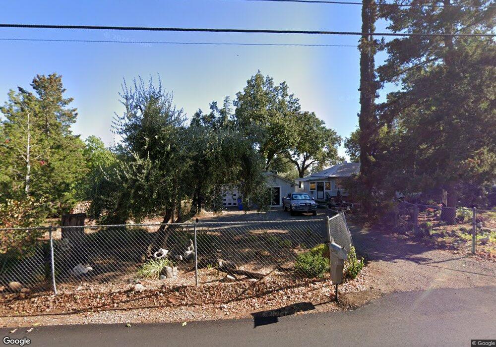
680 Roe Rd Paradise, CA 95969
Estimated Value: $178,000 - $583,000
1
Bed
1
Bath
812
Sq Ft
$386/Sq Ft
Est. Value
About This Home
This home is located at 680 Roe Rd, Paradise, CA 95969 and is currently estimated at $313,320, approximately $385 per square foot. 680 Roe Rd is a home located in Butte County with nearby schools including Paradise Junior High School, Paradise Senior High School, and Hometech Charter School.
Ownership History
Date
Name
Owned For
Owner Type
Purchase Details
Closed on
May 19, 2005
Sold by
Brandt Michael L
Bought by
Brandt Michael
Current Estimated Value
Purchase Details
Closed on
Mar 10, 2004
Sold by
Gaal Elizabeth
Bought by
Brandt Michael L
Home Financials for this Owner
Home Financials are based on the most recent Mortgage that was taken out on this home.
Original Mortgage
$128,000
Outstanding Balance
$59,738
Interest Rate
5.65%
Mortgage Type
Unknown
Estimated Equity
$253,582
Create a Home Valuation Report for This Property
The Home Valuation Report is an in-depth analysis detailing your home's value as well as a comparison with similar homes in the area
Home Values in the Area
Average Home Value in this Area
Purchase History
| Date | Buyer | Sale Price | Title Company |
|---|---|---|---|
| Brandt Michael | -- | Bidwell Title & Escrow Co | |
| Brandt Michael L | $145,000 | Mid Valley Title Co |
Source: Public Records
Mortgage History
| Date | Status | Borrower | Loan Amount |
|---|---|---|---|
| Open | Brandt Michael L | $128,000 |
Source: Public Records
Tax History
| Year | Tax Paid | Tax Assessment Tax Assessment Total Assessment is a certain percentage of the fair market value that is determined by local assessors to be the total taxable value of land and additions on the property. | Land | Improvement |
|---|---|---|---|---|
| 2025 | $2,137 | $206,139 | $142,171 | $63,968 |
| 2024 | $2,137 | $202,098 | $139,384 | $62,714 |
| 2023 | $2,135 | $198,136 | $136,651 | $61,485 |
| 2022 | $2,092 | $194,252 | $133,972 | $60,280 |
| 2021 | $2,047 | $190,445 | $131,346 | $59,099 |
| 2020 | $1,946 | $188,494 | $130,000 | $58,494 |
| 2019 | $1,907 | $184,799 | $127,451 | $57,348 |
| 2018 | $1,870 | $181,176 | $124,952 | $56,224 |
| 2017 | $1,841 | $177,624 | $122,502 | $55,122 |
| 2016 | $1,636 | $160,000 | $75,000 | $85,000 |
| 2015 | $1,530 | $150,000 | $70,000 | $80,000 |
| 2014 | $1,429 | $140,000 | $65,000 | $75,000 |
Source: Public Records
Map
Nearby Homes
- 5295 Scottwood Rd
- 5416 Foster Rd
- 577 Roe Rd
- 830 Seneca Dr
- 607 Circlewood Dr
- 614 Circlewood Dr
- 5218 Foster Rd
- 5485 Foster Rd
- 774 Kinsey Way
- 5493 Foster Rd
- 560 Rustic Ln
- 633 Circlewood Dr
- 542 Hillcrest Dr
- 695 Marvin Dr
- 606 Swanee River Place
- 511 Montgomery Place
- 316 Memphis Dr
- 498 Sunburst Dr
- 5500 Berry Creek Dr
- 678 Buschmann Rd
Your Personal Tour Guide
Ask me questions while you tour the home.