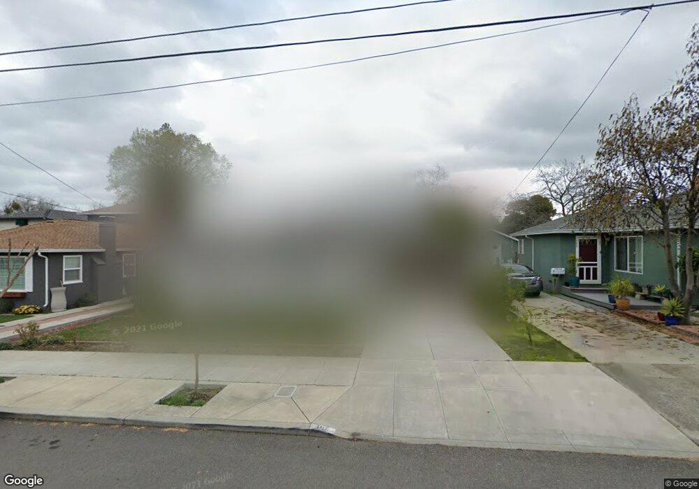
680 S P St Livermore, CA 94550
Downtown Livermore NeighborhoodEstimated Value: $1,013,000 - $1,435,000
2
Beds
1
Bath
930
Sq Ft
$1,347/Sq Ft
Est. Value
About This Home
This home is located at 680 S P St, Livermore, CA 94550 and is currently estimated at $1,252,481, approximately $1,346 per square foot. 680 S P St is a home located in Alameda County with nearby schools including Junction Avenue K-8 School, Livermore High School, and St Michael's School.
Ownership History
Date
Name
Owned For
Owner Type
Purchase Details
Closed on
Jan 15, 2021
Sold by
Settgast Randolph
Bought by
Settgast Randolph R and Settgast And Jeung Living Trus
Current Estimated Value
Purchase Details
Closed on
May 24, 2013
Sold by
Settgast Randolph and Settgast Randolph S
Bought by
Settgast Randolph
Home Financials for this Owner
Home Financials are based on the most recent Mortgage that was taken out on this home.
Original Mortgage
$210,000
Outstanding Balance
$148,137
Interest Rate
3.38%
Mortgage Type
New Conventional
Estimated Equity
$1,104,344
Purchase Details
Closed on
May 12, 2011
Sold by
Fannie Mae
Bought by
Settgast Randolph R
Home Financials for this Owner
Home Financials are based on the most recent Mortgage that was taken out on this home.
Original Mortgage
$200,000
Interest Rate
4.84%
Mortgage Type
New Conventional
Purchase Details
Closed on
Jan 6, 2011
Sold by
Debus Eric and Trujillo Maryann
Bought by
Fannie Mae and Federal National Mortgage Association
Purchase Details
Closed on
May 5, 2008
Sold by
Debus Eric
Bought by
Debus Eric and Trujillo Maryann
Home Financials for this Owner
Home Financials are based on the most recent Mortgage that was taken out on this home.
Original Mortgage
$371,000
Interest Rate
5.88%
Mortgage Type
Purchase Money Mortgage
Purchase Details
Closed on
Mar 2, 2004
Sold by
Debus Susan E
Bought by
Debus Eric
Home Financials for this Owner
Home Financials are based on the most recent Mortgage that was taken out on this home.
Original Mortgage
$336,800
Interest Rate
4.5%
Mortgage Type
Purchase Money Mortgage
Purchase Details
Closed on
May 24, 1994
Sold by
Hester Donald Dee and Hester Kitty R
Bought by
Anderson Malary J
Home Financials for this Owner
Home Financials are based on the most recent Mortgage that was taken out on this home.
Original Mortgage
$70,000
Interest Rate
6.25%
Create a Home Valuation Report for This Property
The Home Valuation Report is an in-depth analysis detailing your home's value as well as a comparison with similar homes in the area
Home Values in the Area
Average Home Value in this Area
Purchase History
| Date | Buyer | Sale Price | Title Company |
|---|---|---|---|
| Settgast Randolph R | -- | None Available | |
| Settgast Randolph | -- | Old Republic Title Company | |
| Settgast Randolph R | $285,000 | Old Republic Title Company | |
| Fannie Mae | $403,108 | None Available | |
| Debus Eric | $185,500 | Fidelity National Title Co | |
| Debus Eric | -- | Chicago Title Company | |
| Debus Eric | $421,000 | Chicago Title Company | |
| Anderson Malary J | $177,000 | First American Title Guarant |
Source: Public Records
Mortgage History
| Date | Status | Borrower | Loan Amount |
|---|---|---|---|
| Open | Settgast Randolph | $210,000 | |
| Closed | Settgast Randolph R | $200,000 | |
| Previous Owner | Debus Eric | $371,000 | |
| Previous Owner | Debus Eric | $336,800 | |
| Previous Owner | Anderson Malary J | $70,000 |
Source: Public Records
Tax History
| Year | Tax Paid | Tax Assessment Tax Assessment Total Assessment is a certain percentage of the fair market value that is determined by local assessors to be the total taxable value of land and additions on the property. | Land | Improvement |
|---|---|---|---|---|
| 2025 | $8,312 | $644,019 | $109,534 | $541,485 |
| 2024 | $8,312 | $631,257 | $107,387 | $530,870 |
| 2023 | $6,893 | $512,840 | $105,282 | $407,558 |
| 2022 | $4,954 | $337,060 | $103,218 | $240,842 |
| 2021 | $4,101 | $330,314 | $101,194 | $236,120 |
| 2020 | $4,692 | $333,857 | $100,157 | $233,700 |
| 2019 | $4,700 | $327,313 | $98,194 | $229,119 |
| 2018 | $4,587 | $320,898 | $96,269 | $224,629 |
| 2017 | $4,460 | $314,608 | $94,382 | $220,226 |
| 2016 | $4,280 | $308,440 | $92,532 | $215,908 |
| 2015 | $4,022 | $303,810 | $91,143 | $212,667 |
| 2014 | $3,948 | $297,858 | $89,357 | $208,501 |
Source: Public Records
Map
Nearby Homes
- 1421 3rd St
- 1085 Murrieta Blvd Unit 222
- 1085 Murrieta Blvd Unit 124
- 1085 Murrieta Blvd Unit 318
- 1085 Murrieta Blvd Unit 324
- 1087 Murrieta Blvd Unit 243
- 1087 Murrieta Blvd Unit 245
- 1087 Murrieta Blvd Unit 242
- 2235 4th St
- 170 N N St Unit 102
- 157 Zephyr Place Unit 109
- 2342 Palm Ave
- 1725 Pedrozzi Common
- 1009 Lisbon Ave
- 318 S Livermore Ave Unit 104
- 1718 Pedrozzi Common
- 1030 Via Madrid
- 975 Murrieta Blvd
- 1144 El Dorado Dr
- 1384 Buckhorn Creek Rd
Your Personal Tour Guide
Ask me questions while you tour the home.