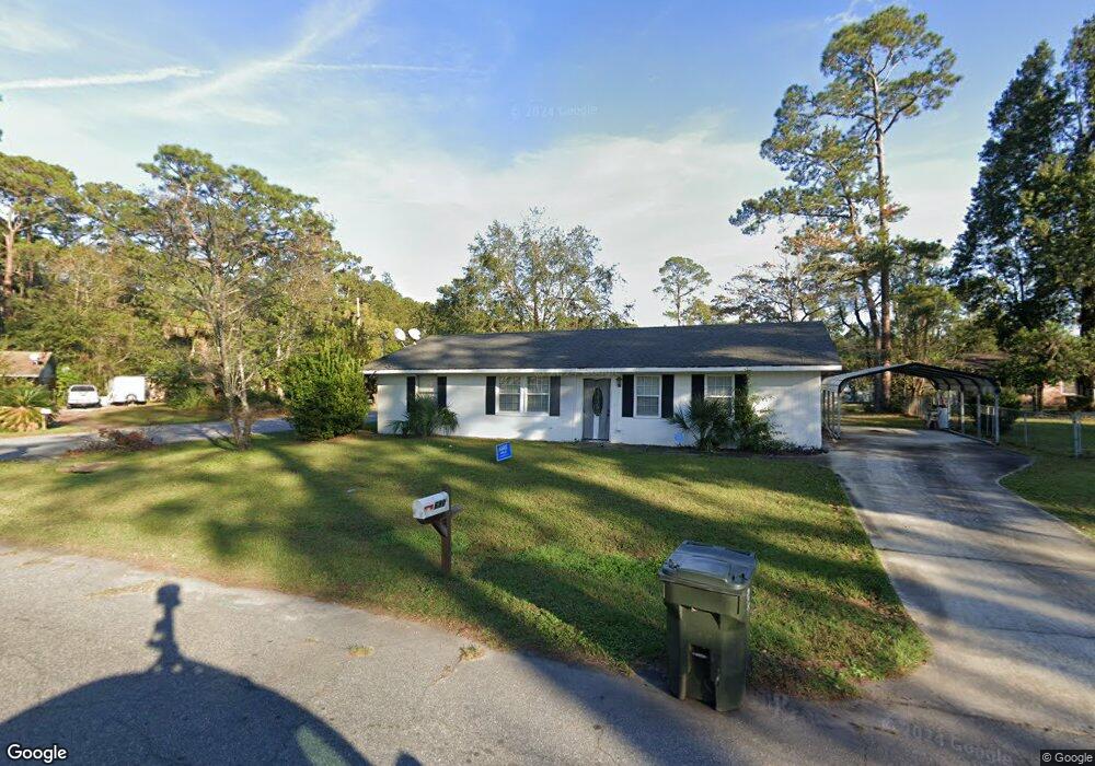
680 Towers Ave Brunswick, GA 31525
Estimated Value: $168,707 - $203,000
3
Beds
2
Baths
1,456
Sq Ft
$129/Sq Ft
Est. Value
About This Home
This home is located at 680 Towers Ave, Brunswick, GA 31525 and is currently estimated at $187,177, approximately $128 per square foot. 680 Towers Ave is a home located in Glynn County with nearby schools including Greer Elementary School, Needwood Middle School, and Brunswick High School.
Ownership History
Date
Name
Owned For
Owner Type
Purchase Details
Closed on
Feb 5, 2019
Sold by
Horne Delores J
Bought by
North Brunswick Glynn Properties Llc
Current Estimated Value
Purchase Details
Closed on
Oct 2, 2018
Sold by
Horne Janie Delores
Bought by
Kirtsey Jocelyn Horne
Purchase Details
Closed on
Aug 12, 2010
Sold by
Anderson W Harvey
Bought by
Long Laura Gail
Create a Home Valuation Report for This Property
The Home Valuation Report is an in-depth analysis detailing your home's value as well as a comparison with similar homes in the area
Home Values in the Area
Average Home Value in this Area
Purchase History
| Date | Buyer | Sale Price | Title Company |
|---|---|---|---|
| North Brunswick Glynn Properties Llc | $64,000 | -- | |
| Kirtsey Jocelyn Horne | -- | -- | |
| Long Laura Gail | $123,000 | -- |
Source: Public Records
Tax History Compared to Growth
Tax History
| Year | Tax Paid | Tax Assessment Tax Assessment Total Assessment is a certain percentage of the fair market value that is determined by local assessors to be the total taxable value of land and additions on the property. | Land | Improvement |
|---|---|---|---|---|
| 2025 | $1,506 | $60,040 | $6,800 | $53,240 |
| 2024 | $1,190 | $47,440 | $6,800 | $40,640 |
| 2023 | $1,294 | $47,560 | $6,000 | $41,560 |
| 2022 | $913 | $42,360 | $6,000 | $36,360 |
| 2021 | $938 | $31,440 | $6,000 | $25,440 |
| 2020 | $946 | $31,440 | $6,000 | $25,440 |
| 2019 | $861 | $33,160 | $6,000 | $27,160 |
| 2018 | $471 | $33,160 | $6,000 | $27,160 |
| 2017 | $471 | $30,440 | $6,000 | $24,440 |
| 2016 | $454 | $29,080 | $6,000 | $23,080 |
| 2015 | $456 | $29,080 | $6,000 | $23,080 |
| 2014 | $456 | $29,080 | $6,000 | $23,080 |
Source: Public Records
Map
Nearby Homes
- 73 Chapel Dr
- 71 E Chapel Dr
- 356 Knox Dr
- 435 Chapel Crossing Rd
- 342 Peppertree Crossing Ave
- 130 Peppertree Crossing Ave
- 176 Peppertree Crossing Ave
- 501 Waterstone Cir
- 375 Chapel Crossing Rd
- 204 Peppertree Crossing Ave
- 155 Mcdowell Ave
- 215 Peppertree Crossing Ave
- 116 Chatford Cir
- 610 Canal Rd
- 204 Rosewood Dr
- 590 Canal Rd
- 246 Commerce Dr
- 225 Gateway Center Blvd
- 172 Zachary Dr
- 167 Zachary Dr
- 665 Mitscher Dr
- 682 Towers Ave
- 679 Towers Ave
- 667 Mitscher Dr
- 549 Shepard Dr
- 550 Shepard Dr
- 681 Towers Ave
- 684 Towers Ave
- 669 Mitscher Dr
- 683 Towers Ave
- 551 Shepard Dr
- 547 Shepard Dr
- 664 Mitscher Dr
- 679 Shepard Dr
- 666 Mitscher Dr
- 546 Shepard Dr
- 686 Towers Ave
- 552 Shepard Dr
- 668 Mitscher Dr
- 685 Towers Ave