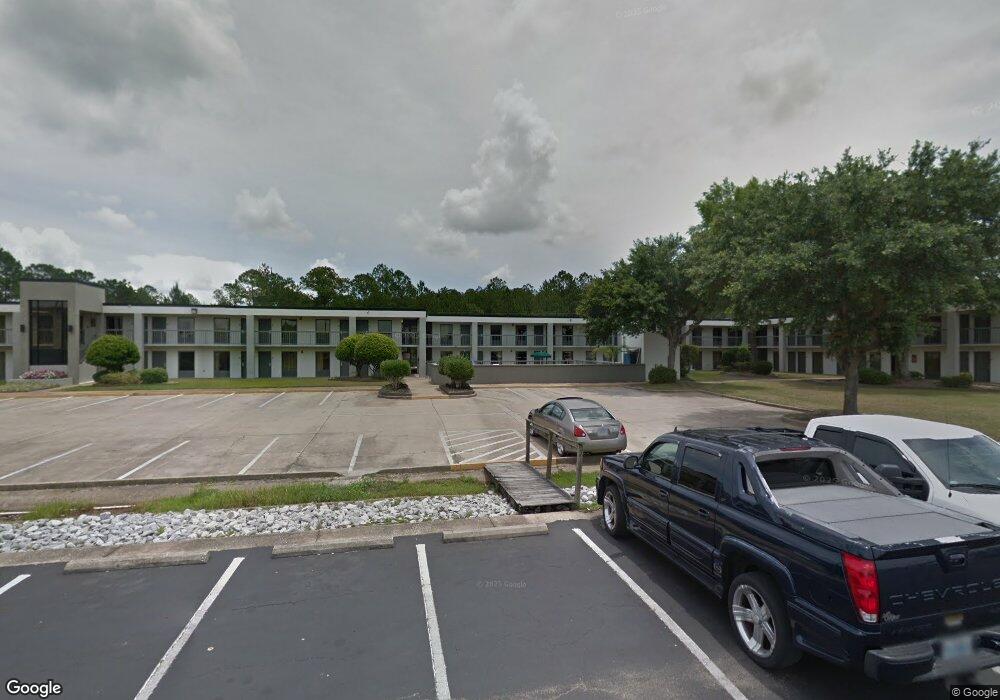
6800 Highway 63 Moss Point, MS 39563
--
Bed
--
Bath
43,461
Sq Ft
2.67
Acres
About This Home
This home is located at 6800 Highway 63, Moss Point, MS 39563. 6800 Highway 63 is a home located in Jackson County with nearby schools including Kreole Primary Elementary School, Escatawpa Upper Elementary School, and Magnolia Middle School.
Ownership History
Date
Name
Owned For
Owner Type
Purchase Details
Closed on
Dec 20, 2022
Sold by
Patel Dia Llc
Bought by
Jsk Llc
Home Financials for this Owner
Home Financials are based on the most recent Mortgage that was taken out on this home.
Original Mortgage
$2,530,041
Outstanding Balance
$1,680,407
Interest Rate
6.38%
Mortgage Type
New Conventional
Purchase Details
Closed on
Jan 31, 2018
Sold by
Brilliant Llc
Bought by
Patel Dia Llc
Create a Home Valuation Report for This Property
The Home Valuation Report is an in-depth analysis detailing your home's value as well as a comparison with similar homes in the area
Home Values in the Area
Average Home Value in this Area
Purchase History
| Date | Buyer | Sale Price | Title Company |
|---|---|---|---|
| Jsk Llc | -- | -- | |
| Jsk Llc | -- | None Listed On Document | |
| Patel Dia Llc | -- | -- |
Source: Public Records
Mortgage History
| Date | Status | Borrower | Loan Amount |
|---|---|---|---|
| Open | Jsk Llc | $2,530,041 |
Source: Public Records
Tax History Compared to Growth
Tax History
| Year | Tax Paid | Tax Assessment Tax Assessment Total Assessment is a certain percentage of the fair market value that is determined by local assessors to be the total taxable value of land and additions on the property. | Land | Improvement |
|---|---|---|---|---|
| 2024 | $58,030 | $337,992 | $62,883 | $275,109 |
| 2023 | $55,860 | $337,992 | $62,883 | $275,109 |
| 2022 | $49,569 | $303,601 | $0 | $0 |
| 2021 | $55,159 | $337,672 | $62,883 | $274,789 |
| 2020 | $47,805 | $290,167 | $62,883 | $227,284 |
| 2019 | $47,692 | $290,167 | $62,883 | $227,284 |
| 2018 | $51,095 | $310,876 | $62,883 | $247,993 |
| 2017 | $50,906 | $310,876 | $62,883 | $247,993 |
| 2016 | $15,969 | $310,876 | $62,883 | $247,993 |
| 2015 | $14,821 | $1,923,410 | $419,220 | $1,504,190 |
| 2014 | $14,821 | $288,512 | $62,883 | $225,629 |
| 2013 | $14,612 | $284,443 | $62,883 | $221,560 |
Source: Public Records
Map
Nearby Homes
- 0 Interstate 10
- 0 Tanner St Unit 4106008
- 7116 Elder Ferry Rd
- 4319 Adcock St
- 7208 Elder Ferry Rd
- 5002 Frison Ave
- 40.2 Elder Ferry Rd
- 7316 Elder Ferry Rd
- 4437 Brentz Ln
- 5818 Elder Ferry Rd
- 7621 Elder Ferry Rd
- 3916 Dutch Bayou Rd
- 6924 Barnes Rd
- 6908 Barnes Rd
- 0 Miller Rd
- 0 Hwy 613 Hwy Unit 4127039
- 0 Hwy 613 Hwy Unit 4129036
- 0 Frank Griffin Rd
- 3712 Dale Ln
- 0 Downing Ave
- 0 Highway 63 Hwy Unit 3211355
- 0 Highway 63 Hwy Unit 3244871
- 6706 Highway 63
- 7001 Highway 63
- 6708 Elder Ferry Rd
- 4712 Bush Ave
- 6528 Highway 63
- 4708 Bush Ave
- 4709 Bush Ave
- 4704 Bush Ave
- 6701 Elder Ferry Rd
- 6603 Elder Ferry Rd
- 4705 Bush Ave
- 6717 Elder Ferry Rd
- 6705 Elder Ferry Rd
- 6816 Elder Ferry Rd
- 6609 Elder Ferry Rd
- 6522 Highway 63
- Tbd Flagstone Dr
- 6900 Elder Ferry Rd