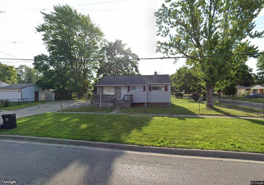
6802 Dupont St Flint, MI 48505
MLK Circle NeighborhoodEstimated Value: $43,000 - $60,000
3
Beds
1
Bath
928
Sq Ft
$55/Sq Ft
Est. Value
About This Home
This home is located at 6802 Dupont St, Flint, MI 48505 and is currently estimated at $51,248, approximately $55 per square foot. 6802 Dupont St is a home located in Genesee County with nearby schools including Brownell STEM Academy, The New Standard Academy, and Eagle's Nest Academy.
Ownership History
Date
Name
Owned For
Owner Type
Purchase Details
Closed on
Aug 7, 2020
Sold by
Elite Professional Management
Bought by
Robinson Rahsaan and Robinson Gina
Current Estimated Value
Purchase Details
Closed on
Sep 26, 2018
Sold by
Cherry Deborah L
Bought by
Elite Professional Management Llc
Purchase Details
Closed on
Oct 20, 2016
Sold by
Bowers Terrell R
Bought by
Bowers James S
Purchase Details
Closed on
Mar 9, 2016
Sold by
Hudson Tyrone and Dillard Anita Renae
Bought by
The Advisory Firm
Purchase Details
Closed on
Oct 2, 2008
Sold by
Hudson Anita R
Bought by
Hudson Tyrone E
Create a Home Valuation Report for This Property
The Home Valuation Report is an in-depth analysis detailing your home's value as well as a comparison with similar homes in the area
Home Values in the Area
Average Home Value in this Area
Purchase History
| Date | Buyer | Sale Price | Title Company |
|---|---|---|---|
| Robinson Rahsaan | $7,000 | None Available | |
| Elite Professional Management Llc | -- | None Available | |
| Bowers James S | -- | None Available | |
| Bowers Terrell R | $3,200 | None Available | |
| The Advisory Firm | $800 | Attorney | |
| Hudson Tyrone E | -- | None Available |
Source: Public Records
Tax History Compared to Growth
Tax History
| Year | Tax Paid | Tax Assessment Tax Assessment Total Assessment is a certain percentage of the fair market value that is determined by local assessors to be the total taxable value of land and additions on the property. | Land | Improvement |
|---|---|---|---|---|
| 2025 | $698 | $11,500 | $0 | $0 |
| 2024 | $656 | $9,200 | $0 | $0 |
| 2023 | $650 | $7,200 | $0 | $0 |
| 2022 | $0 | $5,500 | $0 | $0 |
| 2021 | $681 | $5,700 | $0 | $0 |
| 2020 | $608 | $5,200 | $0 | $0 |
| 2019 | $609 | $5,200 | $0 | $0 |
| 2018 | $695 | $5,400 | $0 | $0 |
| 2017 | $735 | $0 | $0 | $0 |
| 2016 | $676 | $0 | $0 | $0 |
| 2015 | -- | $0 | $0 | $0 |
| 2014 | -- | $0 | $0 | $0 |
| 2012 | -- | $8,900 | $0 | $0 |
Source: Public Records
Map
Nearby Homes
- 6702 Cranwood Dr
- 614 W Holbrook Ave
- 6610 Cranwood Dr
- 525 W Bundy Ave
- 613 W Foss Ave
- 605 W Foss Ave
- 6914 Daryll Dr
- 405 W Bundy Ave
- 1015 W Carpenter Rd
- 618 W Austin Ave
- 610 W Austin Ave
- 6902 Sally Ct
- 405 W Lorado Ave
- 1499 W Juliah Ave
- 6814 Colonial Dr
- 536 W Home Ave
- 6628 Orange Ln
- 5714 Suburban Ct
- 5610 Baldwin Blvd
- 1816 Russet Place