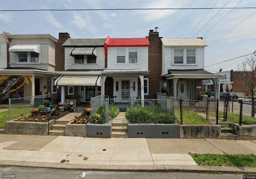
6803 Rodney St Philadelphia, PA 19138
West Oak Lane NeighborhoodEstimated Value: $134,000 - $157,000
3
Beds
1
Bath
904
Sq Ft
$157/Sq Ft
Est. Value
About This Home
This home is located at 6803 Rodney St, Philadelphia, PA 19138 and is currently estimated at $141,691, approximately $156 per square foot. 6803 Rodney St is a home located in Philadelphia County with nearby schools including William Rowen School, Gen. Louis Wagner Middle School, and Martin Luther King High School.
Ownership History
Date
Name
Owned For
Owner Type
Purchase Details
Closed on
Jan 30, 1998
Sold by
Resources For Human Development Inc
Bought by
Charles Wendy C
Current Estimated Value
Purchase Details
Closed on
Sep 6, 1995
Sold by
Hud
Bought by
Resources For Human Development Inc
Purchase Details
Closed on
Jan 4, 1995
Sold by
R F Norman Corp
Bought by
Hud
Purchase Details
Closed on
Nov 14, 1994
Sold by
Green John D
Bought by
R F Norman Corp and Mortgage Default Services Co
Create a Home Valuation Report for This Property
The Home Valuation Report is an in-depth analysis detailing your home's value as well as a comparison with similar homes in the area
Home Values in the Area
Average Home Value in this Area
Purchase History
| Date | Buyer | Sale Price | Title Company |
|---|---|---|---|
| Charles Wendy C | $47,000 | -- | |
| Resources For Human Development Inc | $10,500 | -- | |
| Hud | -- | -- | |
| R F Norman Corp | $6,000 | -- |
Source: Public Records
Tax History Compared to Growth
Tax History
| Year | Tax Paid | Tax Assessment Tax Assessment Total Assessment is a certain percentage of the fair market value that is determined by local assessors to be the total taxable value of land and additions on the property. | Land | Improvement |
|---|---|---|---|---|
| 2025 | $1,590 | $139,800 | $27,960 | $111,840 |
| 2024 | $1,590 | $139,800 | $27,960 | $111,840 |
| 2023 | $1,590 | $113,600 | $22,720 | $90,880 |
| 2022 | $599 | $68,600 | $22,720 | $45,880 |
| 2021 | $1,229 | $0 | $0 | $0 |
| 2020 | $1,229 | $0 | $0 | $0 |
| 2019 | $1,284 | $0 | $0 | $0 |
| 2018 | $1,102 | $0 | $0 | $0 |
| 2017 | $1,102 | $0 | $0 | $0 |
| 2016 | $682 | $0 | $0 | $0 |
| 2015 | $606 | $0 | $0 | $0 |
| 2014 | -- | $75,200 | $5,103 | $70,097 |
| 2012 | -- | $16,032 | $2,229 | $13,803 |
Source: Public Records
Map
Nearby Homes
- 6824 Rodney St
- 2061 Independence St
- 2070 E Haines St
- 6603 N 21st St
- 6332 E Wister St
- 2120 66th Ave
- 6733 N Woodstock St
- 6731 N Woodstock St
- 2125 Stenton Ave
- 2115 Stenton Ave
- 2056 Eastburn Ave
- 2105 Stenton Ave
- 2152 Stenton Ave
- 6534 N Lambert St
- 6531 N Beechwood St
- 6558 Limekiln Pike
- 6620 Cornelius St
- 6600 N Opal St
- 6635 Hollis St
- 2022 66th Ave
- 6801 Rodney St
- 6805 Rodney St
- 6807 Rodney St
- 6809 Rodney St
- 6811 Rodney St
- 6813 Rodney St
- 2059 Eastburn Ave
- 6815 Rodney St
- 6715 N 21st St
- 6817 Rodney St
- 6713 N 21st St
- 6819 Rodney St
- 6802 Rodney St
- 6804 Rodney St
- 6800 Rodney St
- 6806 Rodney St
- 2090 Eastburn Ave
- 6808 Rodney St
- 6821 Rodney St
- 6711 N 21st St