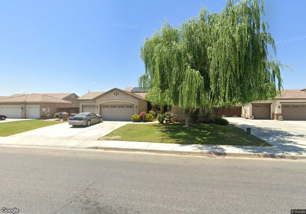
6805 Cobalt Dr Unit 1 Bakersfield, CA 93313
Panama NeighborhoodEstimated Value: $452,160 - $521,000
3
Beds
3
Baths
2,612
Sq Ft
$187/Sq Ft
Est. Value
About This Home
This home is located at 6805 Cobalt Dr Unit 1, Bakersfield, CA 93313 and is currently estimated at $488,540, approximately $187 per square foot. 6805 Cobalt Dr Unit 1 is a home located in Kern County with nearby schools including Douglas J. Miller Elementary School, Stonecreek Junior High School, and Ridgeview High School.
Ownership History
Date
Name
Owned For
Owner Type
Purchase Details
Closed on
Apr 2, 2009
Sold by
Lennar Homes Of California Inc
Bought by
Parker Anthony R and Parker Carol A
Current Estimated Value
Home Financials for this Owner
Home Financials are based on the most recent Mortgage that was taken out on this home.
Original Mortgage
$260,174
Outstanding Balance
$166,492
Interest Rate
5.17%
Mortgage Type
FHA
Estimated Equity
$322,048
Create a Home Valuation Report for This Property
The Home Valuation Report is an in-depth analysis detailing your home's value as well as a comparison with similar homes in the area
Home Values in the Area
Average Home Value in this Area
Purchase History
| Date | Buyer | Sale Price | Title Company |
|---|---|---|---|
| Parker Anthony R | $265,000 | North American Title |
Source: Public Records
Mortgage History
| Date | Status | Borrower | Loan Amount |
|---|---|---|---|
| Open | Parker Anthony R | $260,174 |
Source: Public Records
Tax History Compared to Growth
Tax History
| Year | Tax Paid | Tax Assessment Tax Assessment Total Assessment is a certain percentage of the fair market value that is determined by local assessors to be the total taxable value of land and additions on the property. | Land | Improvement |
|---|---|---|---|---|
| 2025 | $4,717 | $341,243 | $77,258 | $263,985 |
| 2024 | $4,635 | $334,553 | $75,744 | $258,809 |
| 2023 | $4,635 | $327,994 | $74,259 | $253,735 |
| 2022 | $4,448 | $321,563 | $72,803 | $248,760 |
| 2021 | $4,315 | $315,259 | $71,376 | $243,883 |
| 2020 | $4,256 | $312,028 | $70,645 | $241,383 |
| 2019 | $4,199 | $312,028 | $70,645 | $241,383 |
| 2018 | $4,018 | $299,912 | $67,902 | $232,010 |
| 2017 | $3,944 | $294,032 | $66,571 | $227,461 |
| 2016 | $3,712 | $288,267 | $65,266 | $223,001 |
| 2015 | $3,690 | $283,938 | $64,286 | $219,652 |
| 2014 | $3,600 | $278,377 | $63,027 | $215,350 |
Source: Public Records
Map
Nearby Homes
- 6522 Bangor Place
- 6210 Baguette Ave
- 6510 Thunder Trail Dr
- 6209 Star Sapphire Dr
- 6301 Ocean Jasper Dr
- 7213 Ammolite Unit 2
- 6202 Ocean Jasper Dr Unit 2
- 6716 Thunder Trail Dr
- 6505 Diamond Springs Dr
- 7013 Hawkins Cove Dr
- 6232 Gorini Ln
- 6329 Declaration Way
- 5917 Hawthorn Tree Ln
- 5901 Glen Rose Ave
- 6713 Diamond Springs Dr
- 6631 Rimridge Way
- 5913 Hawthorn Tree Ln
- 5913 Blue Spruce Ave
- 6409 Easter Lily Ct
- 7931 Savannah Height Ave
- 6809 Cobalt Dr
- 6801 Cobalt Dr
- 6318 Briolette St Unit 1
- 6313 Tahitian Pearl Dr
- 6813 Cobalt Dr Unit 1
- 6715 Cobalt Dr
- 6503 Bangor Place
- 6502 Bangor Place
- 6314 Briolette St Unit 1
- 6309 Tahitian Pearl Dr
- 6323 Briolette St
- 6500 Sunchase Dr
- 6312 Tahitian Pearl Dr
- 6510 Bangor Place
- 6319 Briolette St
- 6511 Bangor Place
- 6711 Cobalt Dr
- 6305 Tahitian Pearl Dr
- 6310 Briolette St Unit 1
- 6308 Tahitian Pearl Dr Unit 1