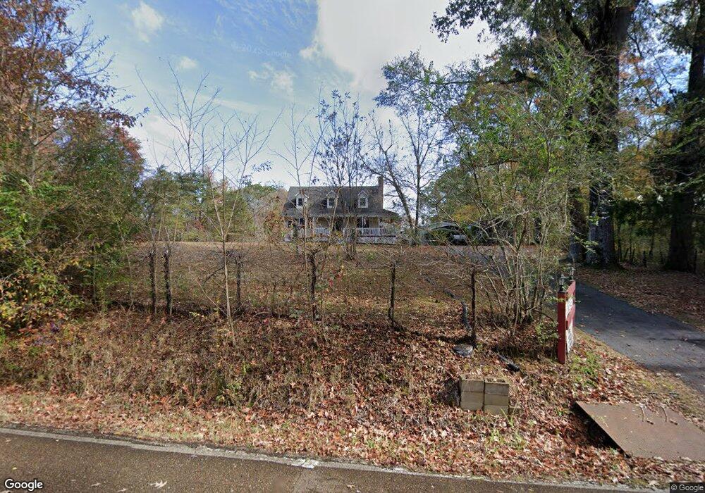
6806 Osborntown Rd Arlington, TN 38002
Estimated Value: $298,000 - $388,000
3
Beds
2
Baths
2,364
Sq Ft
$149/Sq Ft
Est. Value
About This Home
This home is located at 6806 Osborntown Rd, Arlington, TN 38002 and is currently estimated at $353,262, approximately $149 per square foot. 6806 Osborntown Rd is a home located in Shelby County with nearby schools including Barrets Elementary School and Bolton High School.
Ownership History
Date
Name
Owned For
Owner Type
Purchase Details
Closed on
Mar 24, 2008
Sold by
Harrison Gary M
Bought by
Carpenter Michael A and Carpenter Tinia
Current Estimated Value
Home Financials for this Owner
Home Financials are based on the most recent Mortgage that was taken out on this home.
Original Mortgage
$198,432
Outstanding Balance
$125,138
Interest Rate
5.97%
Mortgage Type
FHA
Estimated Equity
$228,124
Purchase Details
Closed on
Jan 4, 1996
Bought by
Batts Roger G and Batts Regenia D
Create a Home Valuation Report for This Property
The Home Valuation Report is an in-depth analysis detailing your home's value as well as a comparison with similar homes in the area
Home Values in the Area
Average Home Value in this Area
Purchase History
| Date | Buyer | Sale Price | Title Company |
|---|---|---|---|
| Carpenter Michael A | $200,000 | None Available | |
| Batts Roger G | $103,000 | -- |
Source: Public Records
Mortgage History
| Date | Status | Borrower | Loan Amount |
|---|---|---|---|
| Open | Carpenter Michael A | $198,432 |
Source: Public Records
Tax History Compared to Growth
Tax History
| Year | Tax Paid | Tax Assessment Tax Assessment Total Assessment is a certain percentage of the fair market value that is determined by local assessors to be the total taxable value of land and additions on the property. | Land | Improvement |
|---|---|---|---|---|
| 2025 | $1,819 | $77,150 | $20,050 | $57,100 |
| 2024 | $1,819 | $53,650 | $14,725 | $38,925 |
| 2023 | $1,819 | $53,650 | $14,725 | $38,925 |
| 2022 | $1,819 | $53,650 | $14,725 | $38,925 |
| 2021 | $1,851 | $53,650 | $14,725 | $38,925 |
| 2020 | $1,740 | $42,975 | $12,450 | $30,525 |
| 2019 | $1,740 | $42,975 | $12,450 | $30,525 |
| 2018 | $1,740 | $42,975 | $12,450 | $30,525 |
| 2017 | $1,766 | $42,975 | $12,450 | $30,525 |
| 2016 | $1,781 | $40,750 | $0 | $0 |
| 2014 | $1,781 | $40,750 | $0 | $0 |
Source: Public Records
Map
Nearby Homes
- 10941 Lubov Rd
- 11280 Pleasant Ridge Rd
- 0 Millington-Arlington Rd Unit 10209438
- 0 Milton Wilson Rd Unit 10201644
- 0 Milton Wilson Rd Unit 10197853
- 0 Milton Wilson Rd Unit 10203797
- 60 Lancaster Dr
- 0 N Westbrook Rd Unit 10048077
- 0 Milton Wilson Rd Unit 10197851
- 0 Milton Wilson Rd Unit 10200100
- 0 I 40 Rd Unit 10202605
- 11850 Us 70 Hwy
- 11819 Highway 70
- 11162 Anderson Bend Cove
- 11272 Ardsley Dr N
- 5724 E Ardsley Dr
- 6038 Armistead St
- 0 Us 70 Hwy Unit 10096004
- 5698 Gerber Rd
- 5694 Gerber Rd
- 6846 Osborntown Rd
- 6866 Osborntown Rd
- 6964 Osborntown Rd
- 7000 Osborntown Rd
- 7008 Osborntown Rd
- 6825 Long Rd
- 6845 Long Rd
- 6835 Long Rd
- 6802 Long Rd
- 6900 Long Rd
- 6780 Long Rd
- 7030 Osborntown Rd
- 0 S Long Rd Unit 10037954
- 0 S Long Rd Unit 3129629
- 0 S Long Rd Unit 3166905
- 0 S Long Rd Unit 3182579
- 0 S Long Rd Unit 3210898
- 0 S Long Rd Unit 3209906
- 0 S Long Rd Unit 3238710
- 0 S Long Rd Unit 3268869