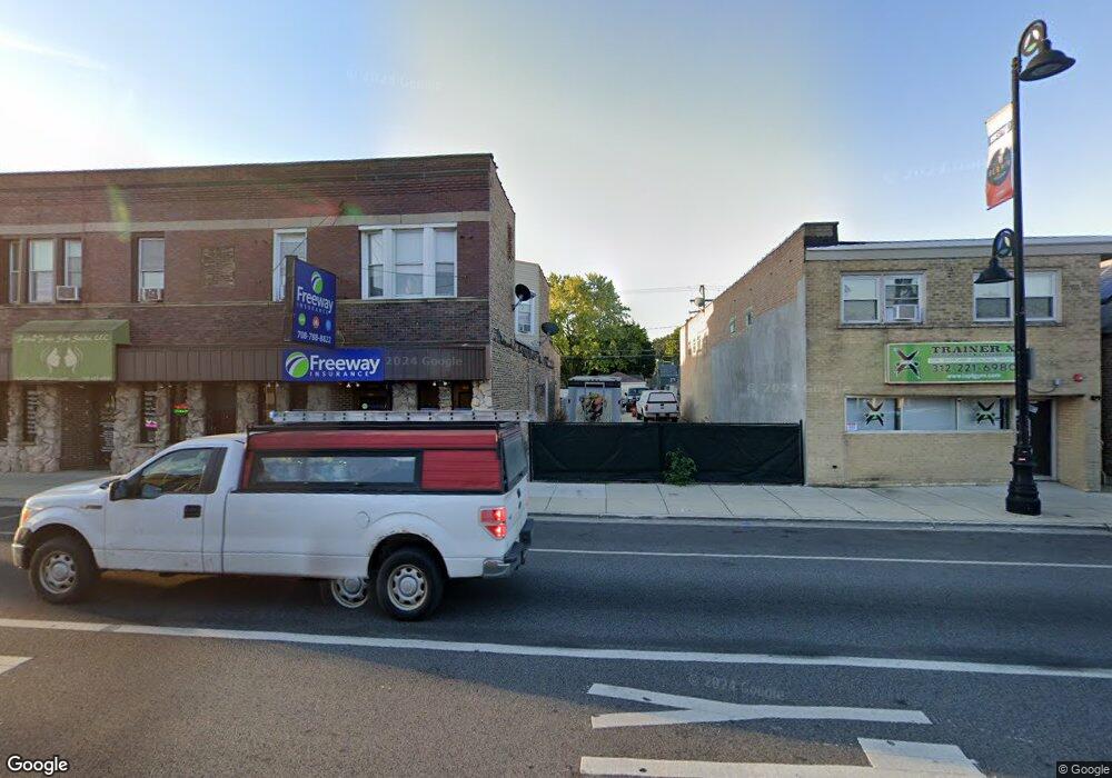
6809 Roosevelt Rd Berwyn, IL 60402
Estimated Value: $122,244
--
Bed
--
Bath
--
Sq Ft
3,049
Sq Ft Lot
About This Home
This home is located at 6809 Roosevelt Rd, Berwyn, IL 60402 and is currently estimated at $122,244. 6809 Roosevelt Rd is a home located in Cook County with nearby schools including Prairie Oak School, Lincoln Middle School, and J. Sterling Morton High School West.
Ownership History
Date
Name
Owned For
Owner Type
Purchase Details
Closed on
May 7, 2025
Sold by
1419 Properties Llc
Bought by
Hector Garcia Living Trust
Current Estimated Value
Purchase Details
Closed on
Oct 13, 2020
Sold by
County Of Cook
Bought by
The Berwyn Development Corporation
Purchase Details
Closed on
Feb 5, 2020
Sold by
County Of Cook
Bought by
County Of Cook and Cook County Land Bank Authority
Purchase Details
Closed on
Mar 31, 2004
Sold by
Chicago Title Land Trust Co
Bought by
Parenti Ralph N
Create a Home Valuation Report for This Property
The Home Valuation Report is an in-depth analysis detailing your home's value as well as a comparison with similar homes in the area
Home Values in the Area
Average Home Value in this Area
Purchase History
| Date | Buyer | Sale Price | Title Company |
|---|---|---|---|
| Hector Garcia Living Trust | $120,000 | None Listed On Document | |
| The Berwyn Development Corporation | -- | Chicago Title | |
| County Of Cook | -- | None Available | |
| Parenti Ralph N | -- | Chicago Title Land Trust Co |
Source: Public Records
Tax History Compared to Growth
Tax History
| Year | Tax Paid | Tax Assessment Tax Assessment Total Assessment is a certain percentage of the fair market value that is determined by local assessors to be the total taxable value of land and additions on the property. | Land | Improvement |
|---|---|---|---|---|
| 2024 | $4,849 | $14,112 | $13,281 | $831 |
| 2023 | $10,448 | $15,423 | $13,281 | $2,142 |
| 2022 | $10,448 | $26,069 | $12,695 | $13,374 |
| 2021 | $11,071 | $29,003 | $12,695 | $16,308 |
| 2020 | $10,781 | $29,003 | $12,695 | $16,308 |
| 2019 | $13,079 | $31,711 | $9,960 | $21,751 |
| 2018 | $12,564 | $31,711 | $9,960 | $21,751 |
| 2017 | $12,176 | $31,711 | $9,960 | $21,751 |
| 2016 | $13,414 | $31,713 | $9,179 | $22,534 |
| 2015 | $13,163 | $31,713 | $9,179 | $22,534 |
| 2014 | $12,795 | $31,713 | $9,179 | $22,534 |
| 2013 | $11,375 | $31,713 | $9,179 | $22,534 |
Source: Public Records
Map
Nearby Homes
- 1135 S Oak Park Ave
- 1156 Wesley Ave
- 1143 Clinton Ave
- 1341 Kenilworth Ave
- 7011 Roosevelt Rd
- 1333 Clinton Ave
- 1324 Clinton Ave
- 1335 Wesley Ave
- 1342 Clinton Ave
- 1216 Wenonah Ave
- 1183 S Scoville Ave
- 1101 S Oak Park Ave
- 1321 East Ave
- 1442 Oak Park Ave
- 1329 Wisconsin Ave
- 915 S Oak Park Ave Unit 1-B
- 1125 Gunderson Ave
- 1432 Home Ave
- 924 Wesley Ave Unit 2
- 1413 Wisconsin Ave
- 6805 Roosevelt Rd
- 6813 Roosevelt Rd
- 6813 W Roosevelt Rd
- 6803 Roosevelt Rd
- 6803 W Roosevelt Rd
- 6819 Roosevelt Rd
- 1213 Grove Ave
- 6823 W Roosevelt Rd
- 1218 Oak Park Ave
- 1218 Oak Park Ave
- 1218 S Oak Park Ave
- 1217 Grove Ave
- 6810 Roosevelt Rd
- 6804 Roosevelt Rd
- 6804 Roosevelt Rd Unit 2
- 6804 Roosevelt Rd Unit 3
- 6804 Roosevelt Rd Unit 1R
- 6806 Roosevelt Rd
- 1219 Grove Ave
- 1220 Oak Park Ave