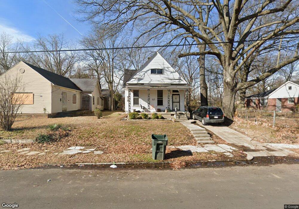
681 N Dunlap St Memphis, TN 38107
North Memphis NeighborhoodEstimated Value: $60,594 - $85,000
3
Beds
2
Baths
1,425
Sq Ft
$52/Sq Ft
Est. Value
About This Home
This home is located at 681 N Dunlap St, Memphis, TN 38107 and is currently estimated at $74,149, approximately $52 per square foot. 681 N Dunlap St is a home located in Shelby County with nearby schools including Manassas High School, Memphis Scholars Caldwell-Guthrie, and Perea Elementary School.
Ownership History
Date
Name
Owned For
Owner Type
Purchase Details
Closed on
Sep 10, 2025
Sold by
Beard Toni
Bought by
Durham Raymond S
Current Estimated Value
Purchase Details
Closed on
Apr 30, 2019
Sold by
Benton Trae
Bought by
Beard Toni
Purchase Details
Closed on
Jul 15, 2016
Sold by
Benton Tom and Benton Trae
Bought by
Benton Trae
Purchase Details
Closed on
Nov 23, 2015
Sold by
Benton Tom and Benton Earnestine
Bought by
Benton Trae and Benton Tom
Create a Home Valuation Report for This Property
The Home Valuation Report is an in-depth analysis detailing your home's value as well as a comparison with similar homes in the area
Home Values in the Area
Average Home Value in this Area
Purchase History
| Date | Buyer | Sale Price | Title Company |
|---|---|---|---|
| Durham Raymond S | $10,000 | Omega Title And Escrow | |
| Beard Toni | -- | None Available | |
| Benton Trae | -- | None Available | |
| Benton Trae | -- | Accommodation |
Source: Public Records
Tax History Compared to Growth
Tax History
| Year | Tax Paid | Tax Assessment Tax Assessment Total Assessment is a certain percentage of the fair market value that is determined by local assessors to be the total taxable value of land and additions on the property. | Land | Improvement |
|---|---|---|---|---|
| 2025 | $431 | $18,760 | $3,120 | $15,640 |
| 2024 | $431 | $12,720 | $1,200 | $11,520 |
| 2023 | $775 | $12,720 | $1,200 | $11,520 |
| 2022 | $775 | $12,720 | $1,200 | $11,520 |
| 2021 | $921 | $12,720 | $1,200 | $11,520 |
| 2020 | $904 | $12,480 | $1,200 | $11,280 |
| 2019 | $399 | $12,480 | $1,200 | $11,280 |
| 2018 | $399 | $12,480 | $1,200 | $11,280 |
| 2017 | $408 | $12,480 | $1,200 | $11,280 |
| 2016 | $572 | $13,080 | $0 | $0 |
| 2014 | $572 | $13,080 | $0 | $0 |
Source: Public Records
Map
Nearby Homes
- 784 Looney Ave
- 766 Pearce St
- 888 Looney Ave
- 768 Pearce St
- 772 Pearce St
- 930 Faxon Ave
- 556 N Manassas St
- 752 Castle St
- 813 N Dunlap St
- 640 Hastings Cir E
- 692 Looney Ave
- 671 McDavitt Place
- 643 McDavitt Place
- 688 Looney Ave
- 986 Lagrange Ave
- 829 N Dunlap St
- 680 Looney Ave
- 676 Looney Ave
- 515 N Dunlap St
- 510 Leath St
- 677 N Dunlap St
- 685 N Dunlap St
- 691 N Dunlap St
- 697 N Dunlap St
- 674 Leath St
- 688 Leath St
- 659 N Dunlap St
- 680 N Dunlap St
- 694 Leath St
- 666 Leath St
- 670 N Dunlap St
- 690 N Dunlap St
- 666 N Dunlap St
- 655 N Dunlap St
- 694 N Dunlap St
- 826 Orphanage Ave
- 700 Leath St
- 660 Leath St
- 660 N Dunlap St
- 702 N Dunlap St