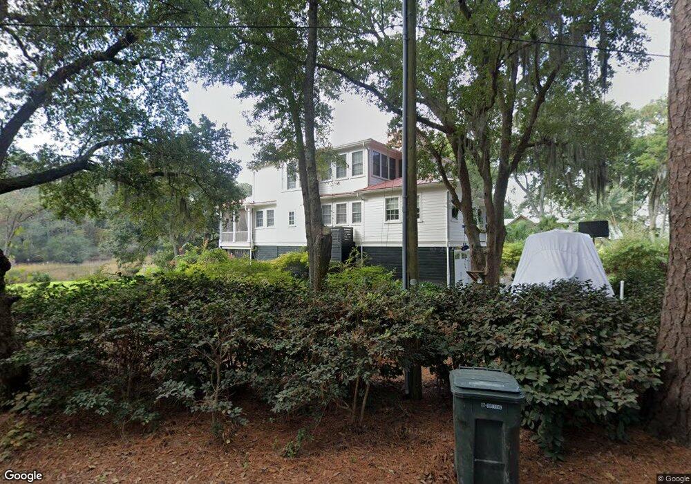
681 N Sterling Dr Charleston, SC 29412
James Island NeighborhoodEstimated Value: $1,183,000 - $1,583,564
4
Beds
3
Baths
3,103
Sq Ft
$435/Sq Ft
Est. Value
About This Home
This home is located at 681 N Sterling Dr, Charleston, SC 29412 and is currently estimated at $1,350,641, approximately $435 per square foot. 681 N Sterling Dr is a home with nearby schools including Stiles Point Elementary School, Camp Road Middle, and James Island Charter High School.
Ownership History
Date
Name
Owned For
Owner Type
Purchase Details
Closed on
Dec 30, 2008
Sold by
Springer William Douglas and Springer Billie Lyn
Bought by
Dapore Ashley Lauren and Saltmarsh Nicholas James
Current Estimated Value
Home Financials for this Owner
Home Financials are based on the most recent Mortgage that was taken out on this home.
Original Mortgage
$328,500
Interest Rate
5.96%
Mortgage Type
Construction
Purchase Details
Closed on
Oct 20, 1999
Sold by
Smeal James Roger
Bought by
Drago Thomas R and Drago Jamie
Create a Home Valuation Report for This Property
The Home Valuation Report is an in-depth analysis detailing your home's value as well as a comparison with similar homes in the area
Home Values in the Area
Average Home Value in this Area
Purchase History
| Date | Buyer | Sale Price | Title Company |
|---|---|---|---|
| Dapore Ashley Lauren | $369,000 | -- | |
| Drago Thomas R | $182,000 | -- |
Source: Public Records
Mortgage History
| Date | Status | Borrower | Loan Amount |
|---|---|---|---|
| Closed | Dapore Ashley Lauren | $328,500 |
Source: Public Records
Tax History Compared to Growth
Tax History
| Year | Tax Paid | Tax Assessment Tax Assessment Total Assessment is a certain percentage of the fair market value that is determined by local assessors to be the total taxable value of land and additions on the property. | Land | Improvement |
|---|---|---|---|---|
| 2024 | $4,067 | $31,740 | $0 | $0 |
| 2023 | $4,067 | $31,740 | $0 | $0 |
| 2022 | $3,817 | $31,740 | $0 | $0 |
| 2021 | $4,008 | $31,740 | $0 | $0 |
| 2020 | $4,159 | $31,740 | $0 | $0 |
| 2019 | $3,691 | $27,600 | $0 | $0 |
| 2017 | $5,696 | $21,970 | $0 | $0 |
| 2016 | $5,508 | $21,970 | $0 | $0 |
| 2015 | $5,253 | $21,970 | $0 | $0 |
| 2014 | $5,120 | $0 | $0 | $0 |
| 2011 | -- | $0 | $0 | $0 |
Source: Public Records
Map
Nearby Homes
- 535 Wampler Dr
- 762 Swanson Ave
- 0 Fort Johnson Rd Unit 25005735
- 544 Fort Johnson Rd
- 679 Edmonds Dr
- 562 Fort Johnson Rd
- 683 Edmonds Dr
- 460 Trapier Dr
- 881 Evans Rd
- 897 Kushiwah Creek Ct
- 874 Evans Rd
- 832 Robert e Lee Blvd
- 881 Kushiwah Creek Dr
- 699 Castle Pinckney Dr
- 924 White Point Blvd
- 3009 Allison Cove Dr
- 825 Shutes Folly Dr
- 525 Yellow Tower Terrace
- 939 Mikell Dr
- 969 Harbor View Rd
- 2 Sterling Dr
- 657 N Sterling Dr
- 682 N Sterling Dr
- 554 Sweetbay Rd
- 672 N Sterling Dr
- 662 N Sterling Dr
- 544 Sweetbay Rd
- 658 Sterling Dr
- 653 Sterling Dr
- 658 Willow Lake Rd
- 607 Wampler Dr
- 547 Wampler Dr
- 698 Willow Lake Rd
- 0 Wampler Dr
- 679 Dobester Ave
- 683 Dobester Ave
- 675 Dobester Ave
- 536 Sweetbay Rd
- 697 Dobester Ave
- 541 Wampler Dr