681 Tippecanoe Rd Smock, PA 15480
Franklin Township NeighborhoodEstimated Value: $106,000 - $209,000
3
Beds
1
Bath
1,456
Sq Ft
$108/Sq Ft
Est. Value
About This Home
This home is located at 681 Tippecanoe Rd, Smock, PA 15480 and is currently estimated at $157,500, approximately $108 per square foot. 681 Tippecanoe Rd is a home located in Fayette County with nearby schools including Uniontown Area Senior High School.
Ownership History
Date
Name
Owned For
Owner Type
Purchase Details
Closed on
Sep 8, 2008
Sold by
Wivell Scott A and Wivell Amy S
Bought by
Angelo Ryan and Angelo Danielle
Current Estimated Value
Purchase Details
Closed on
Nov 28, 2006
Sold by
Allen Ranald B and Allen Lisa F
Bought by
Angelo Ryan and Angelo Danielle A
Home Financials for this Owner
Home Financials are based on the most recent Mortgage that was taken out on this home.
Original Mortgage
$55,000
Interest Rate
6.1%
Mortgage Type
New Conventional
Purchase Details
Closed on
Aug 23, 1995
Bought by
Wivell Scott A and Wivell Amy S
Create a Home Valuation Report for This Property
The Home Valuation Report is an in-depth analysis detailing your home's value as well as a comparison with similar homes in the area
Home Values in the Area
Average Home Value in this Area
Purchase History
| Date | Buyer | Sale Price | Title Company |
|---|---|---|---|
| Angelo Ryan | $500 | None Available | |
| Angelo Ryan | $70,000 | None Available | |
| Wivell Scott A | $105,000 | -- |
Source: Public Records
Mortgage History
| Date | Status | Borrower | Loan Amount |
|---|---|---|---|
| Previous Owner | Angelo Ryan | $55,000 |
Source: Public Records
Tax History Compared to Growth
Tax History
| Year | Tax Paid | Tax Assessment Tax Assessment Total Assessment is a certain percentage of the fair market value that is determined by local assessors to be the total taxable value of land and additions on the property. | Land | Improvement |
|---|---|---|---|---|
| 2025 | $859 | $33,755 | $21,060 | $12,695 |
| 2024 | $1,992 | $82,045 | $69,350 | $12,695 |
| 2023 | $3,983 | $82,045 | $69,350 | $12,695 |
| 2022 | $3,983 | $82,045 | $69,350 | $12,695 |
| 2021 | $3,983 | $82,045 | $69,350 | $12,695 |
| 2020 | $3,891 | $82,045 | $69,350 | $12,695 |
| 2019 | $2,166 | $82,045 | $69,350 | $12,695 |
| 2018 | $3,415 | $82,045 | $69,350 | $12,695 |
| 2017 | $3,415 | $82,045 | $69,350 | $12,695 |
| 2016 | -- | $82,045 | $69,350 | $12,695 |
| 2015 | -- | $82,045 | $69,350 | $12,695 |
| 2014 | -- | $164,090 | $138,700 | $25,390 |
Source: Public Records
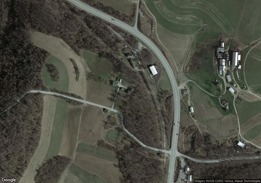
Map
Nearby Homes
- 681 Tippecanoe Rd
- 141 Allen Dr
- 133 Allen Dr
- 2430 Pittsburgh Rd
- 112 Curfew Rd
- 120 Curfew Rd
- 122 Curfew Rd
- 2527 Pittsburgh Rd
- 124 Curfew Rd
- 2358 Pittsburgh Rd
- 121 Maple Ln
- 2365 Pittsburgh Rd
- 117 Maple Ln
- 124 Maple Ln
- 2547 Pittsburgh Rd
- 30 Old Pittsburgh Ln
- 111 Maple Ln
- 118 Maple Ln
- 74 Old Pittsburgh Ln
- 4 Walnut Hill Rd