Estimated Value: $536,000 - $595,000
4
Beds
3
Baths
2,722
Sq Ft
$208/Sq Ft
Est. Value
About This Home
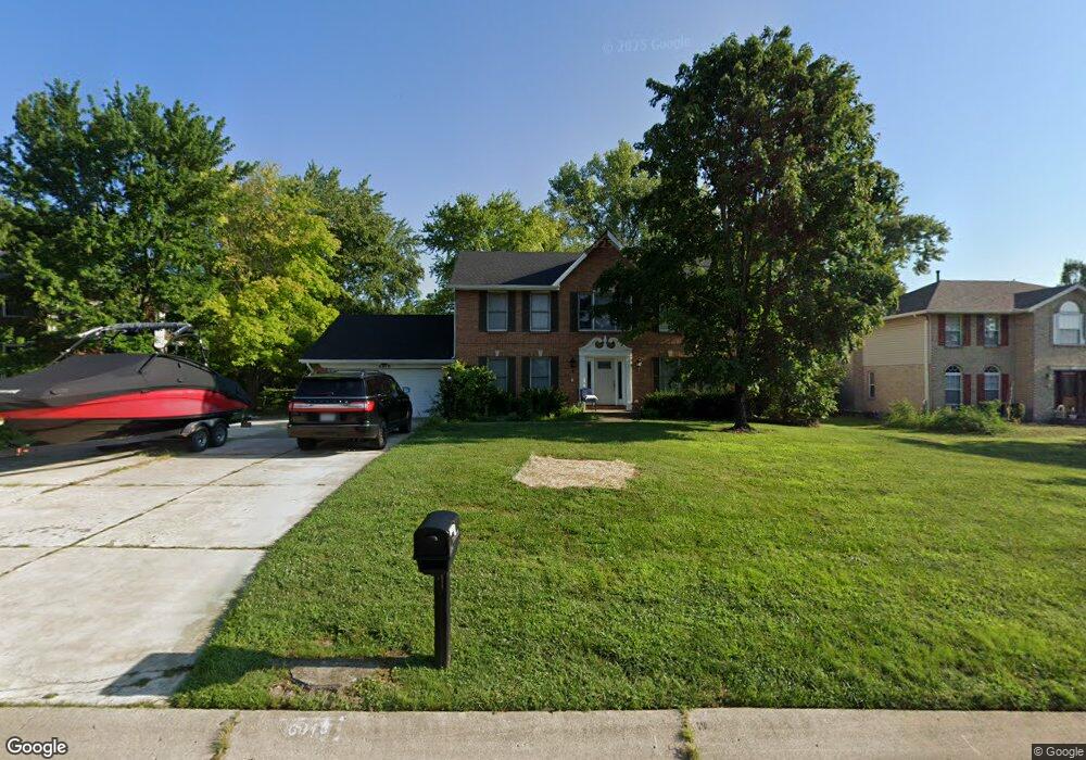
This home is located at 6810 Tyler Ct Unit B, Mason, OH 45040 and is currently estimated at $566,226, approximately $208 per square foot. 6810 Tyler Ct Unit B is a home located in Warren County with nearby schools including Mason Intermediate Elementary School, Mason Middle School, and William Mason High School.
Ownership History
Date
Name
Owned For
Owner Type
Purchase Details
Closed on
Jun 1, 2023
Sold by
Neal Robert M and Neal Virginia S
Bought by
Nft Properties Llc
Current Estimated Value
Purchase Details
Closed on
Apr 10, 2003
Sold by
Shroder Patricia A
Bought by
Neal Robert M and Neal Virginia S
Home Financials for this Owner
Home Financials are based on the most recent Mortgage that was taken out on this home.
Original Mortgage
$180,000
Interest Rate
5.62%
Mortgage Type
Purchase Money Mortgage
Purchase Details
Closed on
Apr 29, 1993
Sold by
Schmidt Builders & Inc
Bought by
Shroder and Shroder Patricia A
Purchase Details
Closed on
Apr 28, 1993
Sold by
Schwarz Joseph W and Schwarz Magg
Bought by
Schmidt Builders & Inc.
Purchase Details
Closed on
Nov 25, 1992
Sold by
Schwarz Joseph W and Schwarz Magg
Bought by
Schwarz and Schwarz Joseph W
Create a Home Valuation Report for This Property
The Home Valuation Report is an in-depth analysis detailing your home's value as well as a comparison with similar homes in the area
Home Values in the Area
Average Home Value in this Area
Purchase History
| Date | Buyer | Sale Price | Title Company |
|---|---|---|---|
| Nft Properties Llc | -- | None Listed On Document | |
| Neal Robert M | $225,000 | Attorney Title Agency | |
| Shroder | $156,700 | -- | |
| Schmidt Builders & Inc. | -- | -- | |
| Schwarz | -- | -- |
Source: Public Records
Mortgage History
| Date | Status | Borrower | Loan Amount |
|---|---|---|---|
| Previous Owner | Neal Robert M | $180,000 |
Source: Public Records
Tax History Compared to Growth
Tax History
| Year | Tax Paid | Tax Assessment Tax Assessment Total Assessment is a certain percentage of the fair market value that is determined by local assessors to be the total taxable value of land and additions on the property. | Land | Improvement |
|---|---|---|---|---|
| 2024 | $5,786 | $139,250 | $38,500 | $100,750 |
| 2023 | $5,341 | $108,640 | $19,372 | $89,267 |
| 2022 | $5,272 | $108,640 | $19,373 | $89,268 |
| 2021 | $4,993 | $108,640 | $19,373 | $89,268 |
| 2020 | $4,748 | $88,326 | $15,750 | $72,576 |
| 2019 | $4,376 | $88,326 | $15,750 | $72,576 |
| 2018 | $4,391 | $88,326 | $15,750 | $72,576 |
| 2017 | $4,496 | $84,441 | $15,309 | $69,132 |
| 2016 | $4,631 | $84,441 | $15,309 | $69,132 |
| 2015 | $4,641 | $84,441 | $15,309 | $69,132 |
| 2014 | $4,525 | $76,760 | $13,920 | $62,850 |
| 2013 | $4,535 | $86,880 | $15,750 | $71,130 |
Source: Public Records
Map
Nearby Homes
- 6577 Rosegate Ct
- 6070 Fireside Dr Unit 45
- 6260 Lake Front
- 5836 Bayswater Dr
- 6955 Grand Oaks Ct
- 5837 Southwater Dr Unit 205F
- 6134 Nicholas Way
- 6142 Nicholas Way
- 6134 Lakelyn Unit 300D
- 6329 Caddies Way
- 5513 Harvestdale Dr
- 6138 Nicholas Way
- 6387 Coverage Ct
- 6369 Coverage Ct
- 6403 Coverage Ct
- 6357 Coverage Ct
- 6383 Coverage Ct
- 6407 Coverage Ct
- 6375 Coverage Ct
- 6365 Coverage Ct