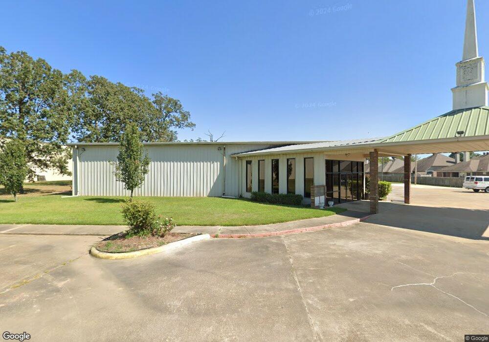
6811 Woolworth Rd Shreveport, LA 71129
Pines Road NeighborhoodEstimated Value: $676,001
--
Bed
--
Bath
16,300
Sq Ft
$41/Sq Ft
Est. Value
About This Home
This home is located at 6811 Woolworth Rd, Shreveport, LA 71129 and is currently estimated at $676,001, approximately $41 per square foot. 6811 Woolworth Rd is a home located in Caddo Parish with nearby schools including Judson Fundamental Elementary School, Fairfield Magnet School, and Claiborne Fundamental Elementary School.
Ownership History
Date
Name
Owned For
Owner Type
Purchase Details
Closed on
Apr 6, 2022
Sold by
Calvary Pentecostal Church
Bought by
Midway Missionary Baptist Church
Current Estimated Value
Purchase Details
Closed on
Feb 18, 2005
Sold by
F D H Ram Llc
Bought by
Daniels Willie Cecil
Home Financials for this Owner
Home Financials are based on the most recent Mortgage that was taken out on this home.
Original Mortgage
$138,000
Interest Rate
5.82%
Mortgage Type
Commercial
Create a Home Valuation Report for This Property
The Home Valuation Report is an in-depth analysis detailing your home's value as well as a comparison with similar homes in the area
Home Values in the Area
Average Home Value in this Area
Purchase History
| Date | Buyer | Sale Price | Title Company |
|---|---|---|---|
| Midway Missionary Baptist Church | $737,000 | Fidelity National Title | |
| Daniels Willie Cecil | $20,000 | None Available |
Source: Public Records
Mortgage History
| Date | Status | Borrower | Loan Amount |
|---|---|---|---|
| Previous Owner | Daniels Willie Cecil | $138,000 |
Source: Public Records
Tax History Compared to Growth
Tax History
| Year | Tax Paid | Tax Assessment Tax Assessment Total Assessment is a certain percentage of the fair market value that is determined by local assessors to be the total taxable value of land and additions on the property. | Land | Improvement |
|---|---|---|---|---|
| 2024 | $16,909 | $108,467 | $3,528 | $104,939 |
| 2023 | $17,288 | $108,467 | $3,528 | $104,939 |
| 2022 | $17,288 | $108,467 | $3,528 | $104,939 |
| 2021 | $60,807 | $387,410 | $1,000 | $386,410 |
| 2020 | $60,811 | $387,410 | $1,000 | $386,410 |
| 2019 | $62,652 | $387,410 | $1,000 | $386,410 |
| 2018 | $62,923 | $387,410 | $1,000 | $386,410 |
| 2017 | $0 | $2,561 | $1,000 | $1,561 |
| 2015 | -- | $2,491 | $1,000 | $1,491 |
| 2014 | -- | $389,940 | $3,530 | $386,410 |
| 2013 | -- | $389,940 | $3,530 | $386,410 |
Source: Public Records
Map
Nearby Homes
- 6956 Ash St
- 0 0 W Bert Kouns Industrial Loop
- 7453 Shirley Francis Rd
- 7824 Oak Creek Trail
- Lot 12 Flournoy Lucas Rd
- 6190 W Bert Kouns Industrial Loop
- Lot 15 Buncombe Rd
- 7400 Glenleaf Rd Unit 32
- 8053 Broadacres Rd
- 7089 W Bert Kouns Industrial Loop
- 6535 Dixieland Dr
- 0 Glenleaf Rd
- 7923 Masters Dr
- 7341 Broadacres Rd
- 8262 Sophie Ln
- 7805 Hobbs Dr
- 00 Teri Ln
- 7624 Kempton Park Dr
- 0 Simpson Rd Unit 20837681
- 6165 Masters Dr