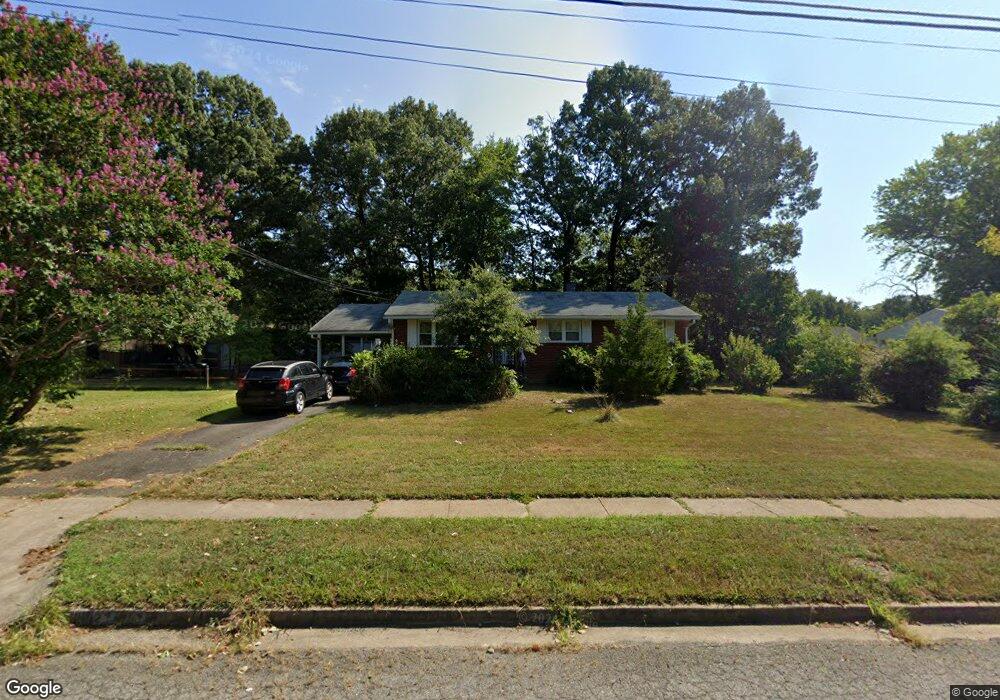
6812 Lois Dr Springfield, VA 22150
Springtown NeighborhoodEstimated Value: $625,579 - $649,000
4
Beds
3
Baths
1,075
Sq Ft
$590/Sq Ft
Est. Value
About This Home
This home is located at 6812 Lois Dr, Springfield, VA 22150 and is currently estimated at $634,145, approximately $589 per square foot. 6812 Lois Dr is a home located in Fairfax County with nearby schools including Forestdale Elementary School, Key Middle, and Lewis High School.
Ownership History
Date
Name
Owned For
Owner Type
Purchase Details
Closed on
Nov 25, 1998
Sold by
Winslow Amos B
Bought by
Akwawua George O and Comfort Sarpang
Current Estimated Value
Home Financials for this Owner
Home Financials are based on the most recent Mortgage that was taken out on this home.
Original Mortgage
$148,000
Outstanding Balance
$33,763
Interest Rate
6.83%
Estimated Equity
$600,382
Create a Home Valuation Report for This Property
The Home Valuation Report is an in-depth analysis detailing your home's value as well as a comparison with similar homes in the area
Home Values in the Area
Average Home Value in this Area
Purchase History
| Date | Buyer | Sale Price | Title Company |
|---|---|---|---|
| Akwawua George O | $185,000 | -- |
Source: Public Records
Mortgage History
| Date | Status | Borrower | Loan Amount |
|---|---|---|---|
| Open | Akwawua George O | $148,000 |
Source: Public Records
Tax History
| Year | Tax Paid | Tax Assessment Tax Assessment Total Assessment is a certain percentage of the fair market value that is determined by local assessors to be the total taxable value of land and additions on the property. | Land | Improvement |
|---|---|---|---|---|
| 2025 | $6,666 | $614,450 | $270,000 | $344,450 |
| 2024 | $6,666 | $575,390 | $250,000 | $325,390 |
| 2023 | $6,174 | $547,140 | $250,000 | $297,140 |
| 2022 | $6,100 | $533,440 | $245,000 | $288,440 |
| 2021 | $5,501 | $468,780 | $212,000 | $256,780 |
| 2020 | $5,376 | $454,240 | $200,000 | $254,240 |
| 2019 | $5,102 | $431,130 | $189,000 | $242,130 |
| 2018 | $4,857 | $422,380 | $185,000 | $237,380 |
| 2017 | $4,516 | $388,940 | $165,000 | $223,940 |
| 2016 | $4,386 | $378,620 | $159,000 | $219,620 |
Source: Public Records
Map
Nearby Homes
- 6824 Constance Dr
- 6810 Mayo Ct
- 6916 Ruskin St
- 6816 Mayo Ct
- 6639 Rockleigh Way
- 6646 Rockleigh Way
- 6610 Thackwell Way Unit 2102
- 7219 Beverly Park Dr
- 6474 Brickleigh Ct
- 7201 Barry Rd
- 7204 Lavender Ln
- 6703 Sullivan Way
- 6404 Patience Ct
- 7740 Desiree St
- 6635 Creek Point Way
- 6917 Villa Del Rey Ct
- 6346 Rockshire St
- 7401 Loughboro Ln
- 7204 Gray Heights Ct
- 7039 Calamo St
Your Personal Tour Guide
Ask me questions while you tour the home.