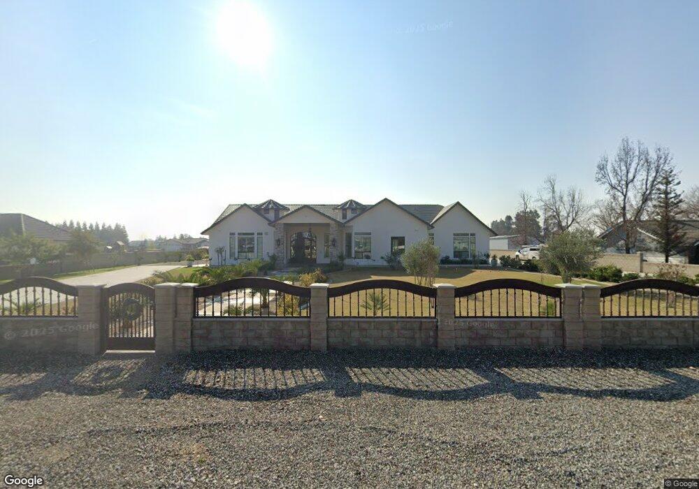
6815 Lindsay Rd Bakersfield, CA 93313
Estimated Value: $894,000 - $1,572,000
--
Bed
--
Bath
--
Sq Ft
2.42
Acres
About This Home
This home is located at 6815 Lindsay Rd, Bakersfield, CA 93313 and is currently estimated at $1,291,533. 6815 Lindsay Rd is a home with nearby schools including Lakeside School, General Shafter Elementary School, and Independence High School.
Ownership History
Date
Name
Owned For
Owner Type
Purchase Details
Closed on
Sep 10, 2021
Sold by
Ruben Mendez Jr
Bought by
Kern Delta Water District
Current Estimated Value
Purchase Details
Closed on
Jun 1, 2021
Sold by
Mendez Ruben and Mendez Esmeralda Y
Bought by
Garcia Jorge Ramos and Ramos Velveth
Home Financials for this Owner
Home Financials are based on the most recent Mortgage that was taken out on this home.
Original Mortgage
$95,000
Interest Rate
2.96%
Mortgage Type
Seller Take Back
Purchase Details
Closed on
Jan 24, 2020
Sold by
Thomas Terry and Thomas Carissa
Bought by
Loya Gilbert C and Loya Eloisa
Create a Home Valuation Report for This Property
The Home Valuation Report is an in-depth analysis detailing your home's value as well as a comparison with similar homes in the area
Home Values in the Area
Average Home Value in this Area
Purchase History
| Date | Buyer | Sale Price | Title Company |
|---|---|---|---|
| Kern Delta Water District | -- | -- | |
| Garcia Jorge Ramos | $225,000 | Placer Title Company | |
| Loya Gilbert C | $79,000 | Ticor Title Company |
Source: Public Records
Mortgage History
| Date | Status | Borrower | Loan Amount |
|---|---|---|---|
| Previous Owner | Garcia Jorge Ramos | $95,000 |
Source: Public Records
Tax History Compared to Growth
Tax History
| Year | Tax Paid | Tax Assessment Tax Assessment Total Assessment is a certain percentage of the fair market value that is determined by local assessors to be the total taxable value of land and additions on the property. | Land | Improvement |
|---|---|---|---|---|
| 2025 | $13,491 | $1,180,333 | $238,771 | $941,562 |
| 2024 | $13,491 | $1,157,190 | $234,090 | $923,100 |
| 2023 | $7,140 | $594,500 | $229,500 | $365,000 |
| 2022 | $2,462 | $225,000 | $225,000 | $0 |
| 2021 | $2,180 | $190,000 | $190,000 | $0 |
| 2020 | $2,180 | $111,500 | $111,500 | $0 |
Source: Public Records
Map
Nearby Homes
- 7544 Clifford Ct
- 7925 Houghton Rd
- 15313 Gosford Rd
- 7926 Bear Mountain Blvd
- 11217 Gosford Rd
- 0 Bear Mountain Blvd
- 6200 Whaleback Ave
- 5831 Mardal Ave
- 9801 Packwood Dr
- 6021 Bogart Dr
- 5808 Esmerelda Ave
- 6028 Bogart Dr
- 6230 Taft Hwy
- 15852 Wible Rd
- 9402 Cobble Mountain Rd
- 6201 Cape Cod Ave
- 6115 Cape Cod Ave
- 9623 Kanosh Cobble Dr
- 6225 Thorton Ave
- Lark Plan at Village at Gosford - East Village
- 6817 Lindsay Rd
- 6811 Lindsay Rd
- 6739 Lindsay Rd
- 6905 Lindsay Rd
- 6810 Lindsay Rd
- 6748 Lindsay Rd
- 6937 Lindsay Rd
- 6850 Lindsay Rd
- 6720 Lindsay Rd
- 6659 Lindsay Rd
- 6940 Lindsay Rd
- 6928 Lindsay Rd
- 6644 Lindsay Rd
- 7017 Lindsay Rd
- 6630 Lindsay Rd
- 7051 Lindsay Rd Unit A
- 6548 Lindsay Rd
- 7050 Lindsay Rd
- 13801 Ashe Rd
- 6804 Ryan Park Ct