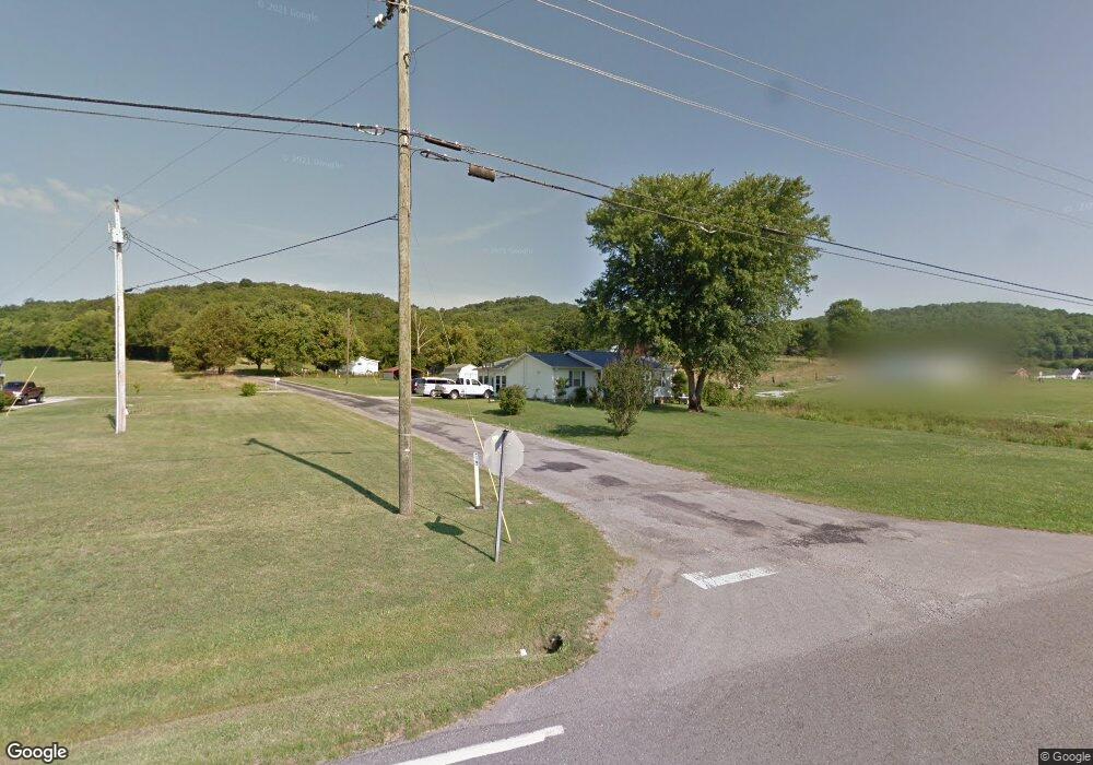
6817 Auburntown Rd Auburntown, TN 37016
Cannon County NeighborhoodEstimated Value: $212,464 - $334,000
--
Bed
1
Bath
1,740
Sq Ft
$161/Sq Ft
Est. Value
About This Home
This home is located at 6817 Auburntown Rd, Auburntown, TN 37016 and is currently estimated at $279,866, approximately $160 per square foot. 6817 Auburntown Rd is a home located in Cannon County with nearby schools including Cannon County High School.
Ownership History
Date
Name
Owned For
Owner Type
Purchase Details
Closed on
May 24, 2006
Sold by
Cooper Charles
Bought by
Cooper Charles D
Current Estimated Value
Purchase Details
Closed on
Apr 20, 1981
Bought by
Cooper Charles
Create a Home Valuation Report for This Property
The Home Valuation Report is an in-depth analysis detailing your home's value as well as a comparison with similar homes in the area
Home Values in the Area
Average Home Value in this Area
Purchase History
| Date | Buyer | Sale Price | Title Company |
|---|---|---|---|
| Cooper Charles D | -- | -- | |
| Cooper Charles | -- | -- |
Source: Public Records
Tax History Compared to Growth
Tax History
| Year | Tax Paid | Tax Assessment Tax Assessment Total Assessment is a certain percentage of the fair market value that is determined by local assessors to be the total taxable value of land and additions on the property. | Land | Improvement |
|---|---|---|---|---|
| 2024 | $733 | $45,925 | $5,600 | $40,325 |
| 2023 | $702 | $46,075 | $5,600 | $40,475 |
| 2022 | $680 | $27,650 | $3,000 | $24,650 |
| 2021 | $680 | $27,650 | $3,000 | $24,650 |
| 2020 | $680 | $27,650 | $3,000 | $24,650 |
| 2019 | $680 | $27,650 | $3,000 | $24,650 |
| 2018 | $655 | $27,475 | $3,000 | $24,475 |
| 2017 | $672 | $23,250 | $4,050 | $19,200 |
| 2016 | $639 | $23,250 | $4,050 | $19,200 |
| 2015 | $588 | $23,250 | $4,050 | $19,200 |
| 2014 | $588 | $23,250 | $4,050 | $19,200 |
Source: Public Records
Map
Nearby Homes
- 0 Hurricane Creek Rd
- 0 Auburntown Rd
- 112 Re Davenport Ave
- 0 Poplar Bluff Rd W Unit RTC2811548
- 0 Highway 96 Unit RTC2992698
- 715 Poplar Bluff Rd E
- 12275 Hogwood Rd
- 0 Northcutt Rd
- 1007 Kennedy Creek Rd
- 2625 Pleasant Ridge Rd
- 3955 Kennedy Creek Rd
- 778 Jones Hollow Rd
- 0 Hurricane Creek Rd Unit RTC3003650
- 0 Hurricane Creek Rd Unit RTC3003643
- 0 Hurricane Creek Rd Unit RTC3003642
- 0 Hurricane Creek Rd Unit RTC2958196
- 2859 Locke Creek Rd
- 11769 Milton St
- 7162 Gassaway Rd
- 659 Turney Rd
- 0 Cooper Hollow Rd Unit 1730301
- 0 Cooper Hollow Rd
- 6777 Auburntown Rd
- 78 Cooper Hollow Rd
- 131 Cooper Hollow Rd
- 213 Cooper Hollow Rd
- 6625 Auburntown Rd
- 7007 Auburntown Rd
- 60 Hastings Ln
- 198 Hasting Ln
- 7091 Auburntown Rd
- 198 Hastings Ln
- 431 Wilt Ln
- 7187 Auburntown Rd
- 7515 Auburntown Rd
- 7229 Auburntown Rd
- 73 Robbies Ln
- 7254 Auburntown Rd
- 286 La Paloma Rd
- 6313 Auburntown Rd