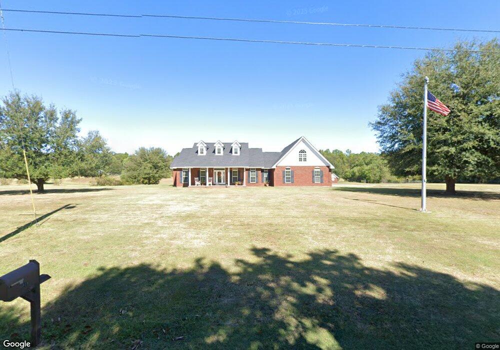
6819 Pinetop Rd Lucedale, MS 39452
Estimated Value: $247,000 - $466,000
Studio
2
Baths
2,583
Sq Ft
$137/Sq Ft
Est. Value
About This Home
This home is located at 6819 Pinetop Rd, Lucedale, MS 39452 and is currently estimated at $354,780, approximately $137 per square foot. 6819 Pinetop Rd is a home located in Jackson County with nearby schools including East Central Lower Elementary School, East Central Upper Elementary School, and East Central Middle School.
Ownership History
Date
Name
Owned For
Owner Type
Purchase Details
Closed on
May 8, 2025
Sold by
Kirkland Charlotte and Kirkland Gene
Bought by
Byrd Michael and Byrd Claudia
Current Estimated Value
Home Financials for this Owner
Home Financials are based on the most recent Mortgage that was taken out on this home.
Original Mortgage
$407,483
Outstanding Balance
$404,565
Interest Rate
6.65%
Mortgage Type
FHA
Estimated Equity
-$49,785
Create a Home Valuation Report for This Property
The Home Valuation Report is an in-depth analysis detailing your home's value as well as a comparison with similar homes in the area
Purchase History
| Date | Buyer | Sale Price | Title Company |
|---|---|---|---|
| Byrd Michael | -- | Island Winds Title | |
| Byrd Michael | -- | Island Winds Title |
Source: Public Records
Mortgage History
| Date | Status | Borrower | Loan Amount |
|---|---|---|---|
| Open | Byrd Michael | $407,483 | |
| Closed | Byrd Michael | $407,483 |
Source: Public Records
Tax History
| Year | Tax Paid | Tax Assessment Tax Assessment Total Assessment is a certain percentage of the fair market value that is determined by local assessors to be the total taxable value of land and additions on the property. | Land | Improvement |
|---|---|---|---|---|
| 2025 | $1,726 | $25,642 | $3,755 | $21,887 |
| 2024 | $1,726 | $22,872 | $3,653 | $19,219 |
| 2023 | $1,744 | $22,872 | $3,653 | $19,219 |
| 2022 | $1,694 | $22,027 | $0 | $0 |
| 2021 | $1,694 | $22,027 | $22,027 | $0 |
| 2020 | $1,755 | $22,027 | $3,383 | $18,644 |
| 2019 | $1,736 | $22,027 | $3,383 | $18,644 |
| 2018 | $1,770 | $22,027 | $3,383 | $18,644 |
| 2017 | $1,800 | $22,027 | $3,383 | $18,644 |
| 2016 | $1,728 | $22,027 | $3,383 | $18,644 |
| 2015 | $1,560 | $205,450 | $33,830 | $171,620 |
| 2014 | $1,597 | $21,095 | $3,383 | $17,712 |
| 2013 | $1,544 | $21,095 | $3,383 | $17,712 |
Source: Public Records
Map
Nearby Homes
- 0 Tanner Williams Unit 4124647
- 6902 Tanner Williams Rd
- 6909 Tanner Williams Rd
- 0 Tanner Williams Rd -Parcel 1
- 0 Tanner Williams Rd -Parcel 8
- 7345 Amberwood Ln
- 7333 Amberwood Ln Unit DRO
- 7005 Whites Farm Rd
- 24997 Eastwood Ln
- 0 Ramie Farm Rd
- 0 Hwy 613 Unit 4108899
- 24900 Highway 613
- 26460 Billy Hinton Rd
- 278 Cowart Rd
- 5901 Lum Reeves Rd
- 125 Mulberry Dr
- 1233 Tannertown Rd
- 24023 Robert e Lee Rd
- 24040 Robert e Lee Rd
- 0 Lundy Rd
- 6850 Pinetop Rd
- 0 Tanner Williams Unit 4068109
- 0 Tanner Williams Unit 3242928
- 0 Tanner Williams Unit 3242926
- 0 Tanner Williams Unit 3345274
- 0 Tanner Williams Unit 3347505
- 0 Tanner Williams Unit 3356100
- 0 Tanner Williams Unit 3364652
- 0 Tanner Williams Unit 3379989
- 6800 Pinetop Rd
- 6905 Pinetop Rd
- # Pinetop Rd
- 26000 Ramie Farm Rd
- 6904 Pinetop Rd
- 6904 Pine Top Rd
- 26020 Ramie Farm Rd
- 26046 Ramie Farm Rd
- 26044 Ramie Farm Rd
- 25724 Ramie Farm Rd
- 26040 Ramie Farm Rd
Your Personal Tour Guide
Ask me questions while you tour the home.