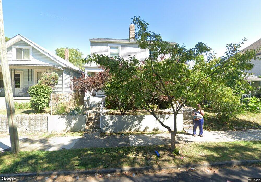
682 Gibbard Ave Unit 684 Columbus, OH 43201
Milo-Grogan NeighborhoodEstimated Value: $320,132 - $402,000
6
Beds
2
Baths
2,628
Sq Ft
$135/Sq Ft
Est. Value
About This Home
This home is located at 682 Gibbard Ave Unit 684, Columbus, OH 43201 and is currently estimated at $355,783, approximately $135 per square foot. 682 Gibbard Ave Unit 684 is a home located in Franklin County with nearby schools including Weinland Park Elementary School, Dominion Middle School, and Whetstone High School.
Ownership History
Date
Name
Owned For
Owner Type
Purchase Details
Closed on
Nov 11, 2022
Sold by
Thrush Carson and Thrush Megan
Bought by
261 Lowell Road Llc
Current Estimated Value
Purchase Details
Closed on
Oct 22, 2022
Sold by
Thrush Carson and Thrush Megan
Bought by
261 Lowell Road Llc
Purchase Details
Closed on
May 6, 2021
Sold by
Valor Investments Llc
Bought by
Thrush Carson and Thrush Megan
Home Financials for this Owner
Home Financials are based on the most recent Mortgage that was taken out on this home.
Original Mortgage
$262,500
Interest Rate
3%
Mortgage Type
New Conventional
Purchase Details
Closed on
May 5, 2021
Sold by
Valor Investments Llc
Bought by
Thrush Carson and Thrush Megan
Home Financials for this Owner
Home Financials are based on the most recent Mortgage that was taken out on this home.
Original Mortgage
$262,500
Interest Rate
3%
Mortgage Type
New Conventional
Purchase Details
Closed on
Oct 29, 2017
Sold by
Stump George Erik
Bought by
Valor Investments Llc
Purchase Details
Closed on
Nov 17, 2015
Sold by
Boyd Sam
Bought by
Hawkins R and Dodd Mithoff Trust
Purchase Details
Closed on
Jul 25, 2007
Sold by
Woodford Carl H and Woodford Diedre
Bought by
Boyd Sam
Purchase Details
Closed on
Apr 26, 2007
Sold by
Dfg2 Llc
Bought by
Woodford Carl H and Pratt Mark S
Purchase Details
Closed on
Mar 12, 2004
Sold by
Green Donald F and Green Brenda
Bought by
Dfg2 Llc
Purchase Details
Closed on
May 20, 2003
Sold by
Bankers Trust Co Of California Na
Bought by
Green Donald F
Home Financials for this Owner
Home Financials are based on the most recent Mortgage that was taken out on this home.
Original Mortgage
$31,018
Interest Rate
5.51%
Mortgage Type
Purchase Money Mortgage
Purchase Details
Closed on
Feb 21, 2003
Sold by
Mcgrew Darrell and Case #01Cve06 5360
Bought by
Bankers Trust Company Of California Na
Purchase Details
Closed on
Sep 30, 1997
Sold by
Stoltzfus Jacob P and Stoltzfus Sarah D
Bought by
Mcgrew Darrell
Home Financials for this Owner
Home Financials are based on the most recent Mortgage that was taken out on this home.
Original Mortgage
$32,000
Interest Rate
10.62%
Purchase Details
Closed on
May 1, 1978
Create a Home Valuation Report for This Property
The Home Valuation Report is an in-depth analysis detailing your home's value as well as a comparison with similar homes in the area
Home Values in the Area
Average Home Value in this Area
Purchase History
| Date | Buyer | Sale Price | Title Company |
|---|---|---|---|
| 261 Lowell Road Llc | -- | Pillar Title | |
| 261 Lowell Road Llc | -- | Pillar Title | |
| Thrush Carson | -- | Pillar Title Agency | |
| Thrush Carson | -- | Pillar Title | |
| Valor Investments Llc | $28,000 | Pillar Title Box | |
| Hawkins R | $5,000 | Capcity Title Box | |
| Stump George Erik | $12,000 | Capcity Title Box | |
| Boyd Sam | $25,000 | Title Quest | |
| Woodford Carl H | $14,000 | None Available | |
| Dfg2 Llc | -- | Title First Agency Inc | |
| Green Donald F | $30,000 | Resource Title Agency Inc | |
| Bankers Trust Company Of California Na | $26,350 | Independent Title | |
| Mcgrew Darrell | $29,100 | First Ohio Title Services In | |
| -- | $9,500 | -- |
Source: Public Records
Mortgage History
| Date | Status | Borrower | Loan Amount |
|---|---|---|---|
| Previous Owner | Thrush Carson | $262,500 | |
| Previous Owner | Thrush Carson | $262,500 | |
| Previous Owner | Green Donald F | $31,018 | |
| Previous Owner | Mcgrew Darrell | $32,000 |
Source: Public Records
Tax History Compared to Growth
Tax History
| Year | Tax Paid | Tax Assessment Tax Assessment Total Assessment is a certain percentage of the fair market value that is determined by local assessors to be the total taxable value of land and additions on the property. | Land | Improvement |
|---|---|---|---|---|
| 2024 | $1,307 | $105,010 | $22,400 | $82,610 |
| 2023 | $4,117 | $164,325 | $22,400 | $141,925 |
| 2022 | $551 | $43,480 | $4,240 | $39,240 |
| 2021 | $795 | $43,480 | $4,240 | $39,240 |
| 2020 | $553 | $43,480 | $4,240 | $39,240 |
| 2019 | $610 | $37,810 | $3,680 | $34,130 |
| 2018 | $975 | $9,810 | $3,680 | $6,130 |
| 2017 | $2,265 | $36,440 | $3,680 | $32,760 |
| 2016 | $1,532 | $21,670 | $2,700 | $18,970 |
| 2015 | $1,340 | $21,670 | $2,700 | $18,970 |
| 2014 | $1,344 | $21,670 | $2,700 | $18,970 |
| 2013 | $698 | $22,820 | $2,835 | $19,985 |
Source: Public Records
Map
Nearby Homes
- 650 E 3rd Ave
- 780-782 Gibbard Ave
- 1025 Howard St
- 276 E 4th Ave
- 773-775 E 3rd Ave
- 810-812 E 3rd Ave
- 997-999 Gibbard Ave
- 808 E Starr Ave
- 570 Reynolds Ave
- 574 Reynolds Ave Unit 6
- 879 E 4th Ave
- 841 Saint Clair Ave
- 472 Reynolds Ave Unit 474
- 1158 Lexington Ave
- 1112 Peters Ave
- 911 Camden Ave
- 923 Camden Ave
- 927 Camden Ave
- 1233 Cromartie Ln
- 1250 N Grant Ave
- 682-684 Gibbard Ave
- 680 Gibbard Ave
- 690 Gibbard Ave
- 674 Gibbard Ave
- 692 Gibbard Ave Unit 694
- 692 Gibbard Ave Unit 4
- 692-694 Gibbard Ave
- 670 Gibbard Ave
- 981 N Washington Ave
- 666 Gibbard Ave
- 681 Gibbard Ave Unit 683
- 679 Gibbard Ave
- 988 N 9th St
- 990 N 9th St
- 990 N 9th St Unit 92
- 669 Gibbard Ave Unit D
- 669 Gibbard Ave
- 1000 N 9th St
- 693 E 4th Ave
- 697 E 4th Ave