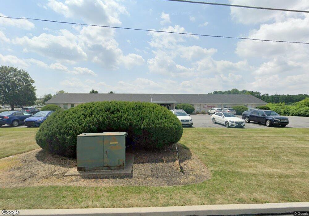
682 N Brookside Rd Allentown, PA 18106
Estimated Value: $1,915,783
--
Bed
--
Bath
10,527
Sq Ft
$182/Sq Ft
Est. Value
About This Home
This home is located at 682 N Brookside Rd, Allentown, PA 18106 and is currently estimated at $1,915,783, approximately $181 per square foot. 682 N Brookside Rd is a home located in Lehigh County with nearby schools including Wescosville Elementary School, Lower Macungie Middle School, and Emmaus High School.
Ownership History
Date
Name
Owned For
Owner Type
Purchase Details
Closed on
Jun 19, 2015
Sold by
Wescosville Real Estate Associates
Bought by
Sky Brookside Investment Llc
Current Estimated Value
Home Financials for this Owner
Home Financials are based on the most recent Mortgage that was taken out on this home.
Original Mortgage
$570,000
Outstanding Balance
$442,894
Interest Rate
3.84%
Mortgage Type
Commercial
Estimated Equity
$1,472,889
Purchase Details
Closed on
Jul 27, 1989
Sold by
Wescosville Med Center
Bought by
Wescosville Real Estate Assoc
Purchase Details
Closed on
Mar 7, 1977
Bought by
Wescosville Med Center
Create a Home Valuation Report for This Property
The Home Valuation Report is an in-depth analysis detailing your home's value as well as a comparison with similar homes in the area
Home Values in the Area
Average Home Value in this Area
Purchase History
| Date | Buyer | Sale Price | Title Company |
|---|---|---|---|
| Sky Brookside Investment Llc | $950,000 | None Available | |
| Wescosville Real Estate Assoc | $1,000,000 | -- | |
| Wescosville Med Center | $110,000 | -- |
Source: Public Records
Mortgage History
| Date | Status | Borrower | Loan Amount |
|---|---|---|---|
| Open | Sky Brookside Investment Llc | $570,000 |
Source: Public Records
Tax History Compared to Growth
Tax History
| Year | Tax Paid | Tax Assessment Tax Assessment Total Assessment is a certain percentage of the fair market value that is determined by local assessors to be the total taxable value of land and additions on the property. | Land | Improvement |
|---|---|---|---|---|
| 2025 | $27,981 | $1,096,000 | $572,600 | $523,400 |
| 2024 | $27,071 | $1,096,000 | $572,600 | $523,400 |
| 2023 | $26,530 | $1,096,000 | $572,600 | $523,400 |
| 2022 | $25,902 | $1,096,000 | $523,400 | $572,600 |
| 2021 | $25,352 | $1,096,000 | $572,600 | $523,400 |
| 2020 | $25,110 | $1,096,000 | $572,600 | $523,400 |
| 2019 | $24,683 | $1,096,000 | $572,600 | $523,400 |
| 2018 | $22,181 | $998,000 | $474,600 | $523,400 |
| 2017 | $21,793 | $998,000 | $474,600 | $523,400 |
| 2016 | -- | $998,000 | $474,600 | $523,400 |
| 2015 | -- | $1,389,200 | $474,600 | $914,600 |
| 2014 | -- | $1,389,200 | $474,600 | $914,600 |
Source: Public Records
Map
Nearby Homes
- 4626 N Hedgerow Dr
- 1045 Barnside Rd
- 4881 Spruce Rd
- 997 Village Round Unit K
- 997K Village Round Unit 104K
- 1037 Village Round Unit L
- 5300 Hanover Dr
- 5475 Hamilton Blvd Unit 7
- 1270 Minesite Rd
- 5524 Stonecroft Ln
- 1385 Brookside Rd
- 5619 Stonecroft Ln
- 5137 Schantz Rd Unit The Jackson
- The Kennedy Plan at The Reserve at Surrey Court
- The Jefferson - Front Entry Plan at The Reserve at Surrey Court
- 5137 Schantz Rd Unit The Kennedy
- 5137 Schantz Rd Unit The Roosevelt
- The Jackson - Front Entry Plan at The Reserve at Surrey Court
- 5137 Schantz Rd Unit The Madison
- The Monroe Plan at The Reserve at Surrey Court
- 682 N Brookside Rd Unit 1st Flr Left
- 682 N Brookside Rd Unit Lower Level
- 682 N Brookside Rd Unit LL
- 675 N Brookside Rd Unit 699
- 721 N Brookside Rd
- 737 N Brookside Rd
- 758 N Brookside Rd
- 751 N Brookside Rd
- 4972 Medical Center Cir
- 761 N Brookside Rd
- 781 N Brookside Rd
- 770 N Brookside Rd
- 5012 Medical Center Cir
- 4865 Hamilton Blvd
- 4887 Hamilton Blvd
- 4905 Hamilton Blvd
- 4841 Hamilton Blvd
- 4885 Hamilton Blvd
- 4873 Hamilton Blvd
- 4883 Hamilton Blvd